History
Why do so many great cities sit on rivers?
Rivers gave the first cities water and fertile soil, then served for thousands of years as highways, crossing points and sources of power
By Globeway Editorial · 13 October 2026
The short answer
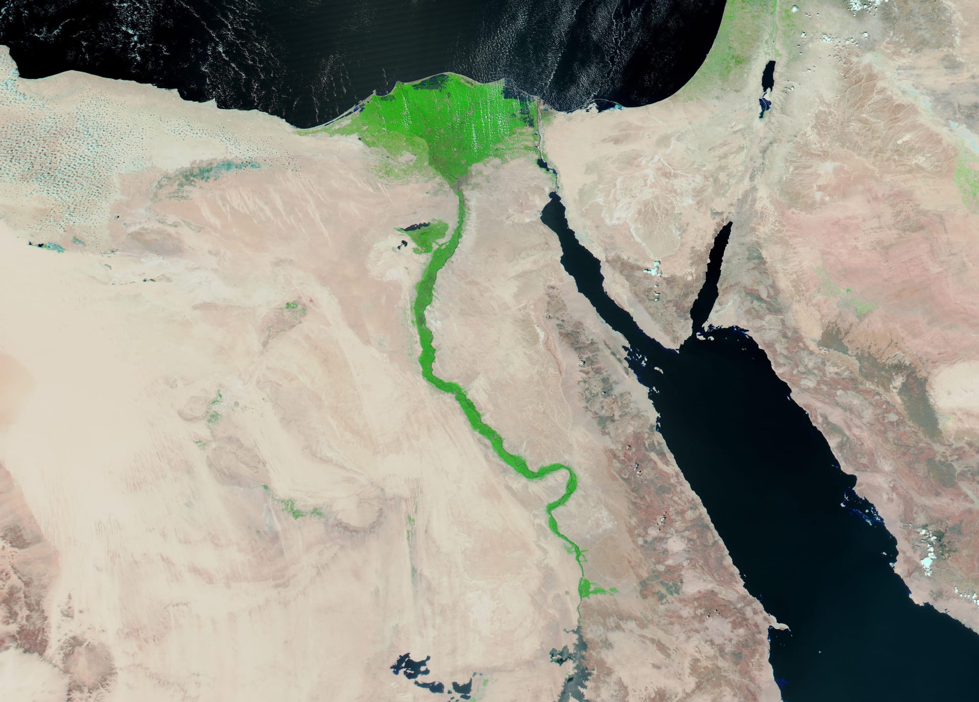
Because for most of human history a river was the single most useful thing a settlement could have. It supplied drinking water, fish and, through its floods, fertile soil that could feed far more people than the farmers themselves. The first cities on Earth grew up on river floodplains for exactly this reason, between about 5,500 and 3,500 years ago, beside the Tigris and Euphrates, the Nile and the Indus.
Later, rivers mattered as roads. Moving goods by boat was cheaper and faster than moving them overland, so towns grew where cargo could be loaded and unloaded, where a river was narrow enough to bridge, and where falling water could turn mill wheels. Once a city had grown in such a spot it tended to stay, which is why so many of the world's great cities still line the banks of the rivers that made them.
Born on the floodplain
Every early civilisation depended on farmers producing a surplus: more food than they needed, enough to feed priests, rulers, craftsmen and builders who did not farm. Rivers made that possible in places that would otherwise have been barren. Mesopotamia, Egypt and the Indus Valley were surrounded by dry country, so people clustered along the rivers, and these societies are thought to have been the first to organise irrigation of desert land on a large scale.
Egypt is the clearest case. The Egyptians divided their year into three seasons: Akhet, the flood; Peret, planting; and Shemu, harvest. From June to September the Nile rose over its banks and left behind a layer of mineral-rich silt ideal for crops. That predictable flood, and the irrigation that spread it further, produced the surplus that supported a dense population and a sophisticated, centralised society.
In southern Mesopotamia the city of Uruk, on a channel of the Euphrates, may have held up to 50,000 people at its peak around 3100 BC, with tens of thousands more in the surrounding area, making it the largest urban area in the world at the time. Canals ran right through it, linking it to farmland and to river trade so thoroughly that it has been described as "Venice in the desert". Writing emerged in the same region at around the same time.
Water, work and power
Irrigation is hard work. Canals have to be dug, cleared and shared, and the ability to organise enough labour to do so helped give rise to towns and to centralised authority in Mesopotamia from the earliest period. In Egypt canals were being cut as early as 3000 BC, and the shadoof, a counterweighted lever for lifting water, raised it on to higher fields. Rulers had a strong reason to keep water and food flowing: drought years harmed harvests, and a hungry population threatened their hold on power.
In 1957 the scholar Karl Wittfogel argued that the need to control water explained the rise of powerful, bureaucratic states, which he called hydraulic empires. The idea has been heavily criticised. Archaeological evidence suggests that in Mesopotamia, China and Mexico, full states appeared before large-scale irrigation did, so water management may have grown alongside government rather than creating it.
Rivers could also undo what they had built. There is evidence that some floodplain societies were abandoned on a large scale. Most cities of the Indus Valley, for example, were deserted by about 1700 BC, after the climate there had grown cooler and drier.
Roads made of water
Long before railways, a river was the best road available. River transport has historically been much cheaper and faster than carrying goods over land, and cities depended on grain and fuel floated down to them from the countryside. Timber was simply floated to market. Countries with dense forests and many rivers, such as Sweden, gained most from this trade.
The pattern continued into the industrial age. The United States had built some 7,100 km (4,400 miles) of canals by 1830 to link its rivers, and the Mississippi, whose drainage basin covers 40 percent of the contiguous United States, carried crops from the Midwest and cotton from the South to the rest of the country and the Atlantic.
Bridges, islands and waterfalls
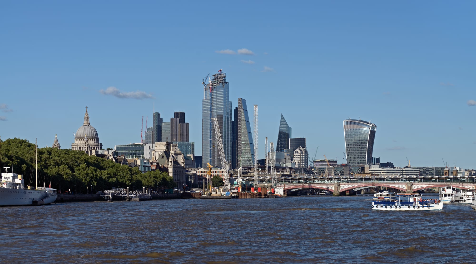
The exact spot a city grew on was often where a river could be crossed or where boats had to stop. Rome grew up beside a natural ford of the Tiber, and London at a point where the Thames was narrow enough to bridge but still deep enough for seagoing ships. The Romans established Londinium as a civilian town about four years after their invasion of AD 43 and built the first timber London Bridge around AD 50. Until Putney Bridge opened in 1729, London Bridge was the only road crossing of the Thames downstream of Kingston, so traffic, trade and people funnelled through the city.
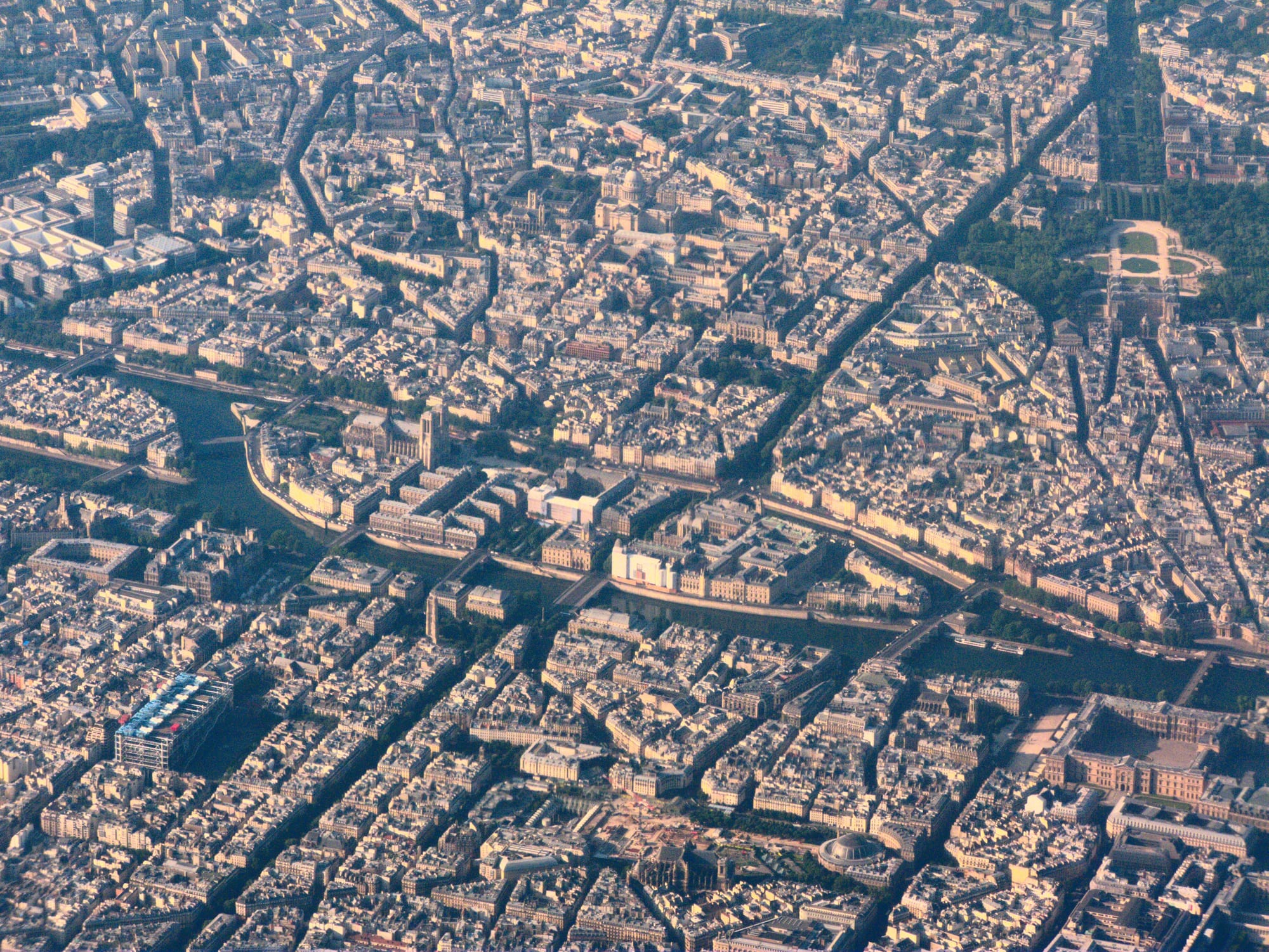
Paris began with an Iron Age people, the Parisii, who settled on the banks of the Seine between 250 and 225 BC, building bridges and a fort and trading with other river settlements. Their town may have stood on the Île de la Cité, an island where bridges of an important trade route crossed the river, although some historians place it at Nanterre, in today's suburbs.
In eastern North America, many cities grew along the fall line, the zone where hard upland rock meets the soft coastal plain and rivers tumble over rapids or falls. Boats could go no further upstream without being carried, so goods had to change from water to land there, and the falling water was ideal for mills. Richmond, Virginia, where the James River drops over a series of rapids to its tidal estuary, is one example. Water power was an old idea: by 1300 England alone had at least 10,000 water mills, each able to do the work of 30 to 60 people.
Rivers in the modern city
Railways, and food and water brought from elsewhere, have since freed cities from depending on their rivers, and newer cities can rise for entirely different reasons: Johannesburg was founded in 1886 after the discovery of gold. But older cities rarely move, and their rivers have taken on new roles. Rivers remain central to the identity of the places that grew around them, from the Thames in London to the Seine in Paris and the Hudson in New York.
Many cities are now trying to make their rivers usable again. Swimming in the Seine was banned in 1923 because of pollution. After a cleanup programme, launched in 2018 at a cost of €1.4 billion to prepare the river for the 2024 Olympic Games, it reopened for swimming in July 2025, after almost a century.