Attractions & Natural Wonders · India
Why does India have monsoons?
Every summer the baking land pulls in wet ocean air, the Himalayas and Tibet hold it in place, and mountains wring out nearly 80 per cent of India's rain.
By Globeway Editorial · 13 October 2026
The short answer
India has monsoons because, every spring, its huge landmass heats up far faster than the Indian Ocean around it. Hot air over the land rises and leaves low pressure behind, and from June onwards moist air is drawn in from the sea to fill the gap. The winds reverse in winter, when the land cools faster than the water. That seasonal reversal of the winds is what a monsoon actually is; the word comes, through Portuguese, from the Arabic mawsim, meaning "season".
Three things make India's version unusually powerful. The tropical rain belt that circles the Earth swings north in summer and pulls winds across the equator. The Tibetan Plateau, a vast tableland averaging more than 4,500 metres (14,800 feet) high, heats up and drags the upper winds north with it. And India's mountains, the Western Ghats and the Himalayas above all, force the wet air upwards so that it cools and falls as rain. Together they deliver nearly 80 per cent of the country's yearly rainfall in about four months.
A sea breeze the size of a subcontinent
The simplest explanation is the one meteorologists call the thermal theory. Land and water warm up at very different rates. In the ocean, waves and wind stir the heat through a surface layer that may be 50 metres deep, while on land the heat stays in a thin layer at the surface. Water also needs far more energy to raise its temperature. So in spring the land races ahead.
By May, most of India's interior has average temperatures above 32°C (90°F) and daytime highs that often pass 40°C (104°F); readings of 50°C (122°F) have been recorded. The hot air rises, pressure drops, and a steady wind starts to blow from the cooler, higher-pressure ocean towards the land, carrying moisture with it. It works like a beach's afternoon sea breeze, only it is continental in scale and lasts for months. The Thar Desert in the north-west plays a part too: its intense summer heat creates a low-pressure area that helps pull the moisture-laden south-west winds inland.
In winter the process runs backwards. The land cools quickly, high pressure builds over it, and dry winds blow from the north-east out towards the sea. Only the stretch that crosses the Bay of Bengal picks up much moisture, which is why Tamil Nadu, on the south-east coast, gets most of its rain in October and November, when everywhere else is drying out.
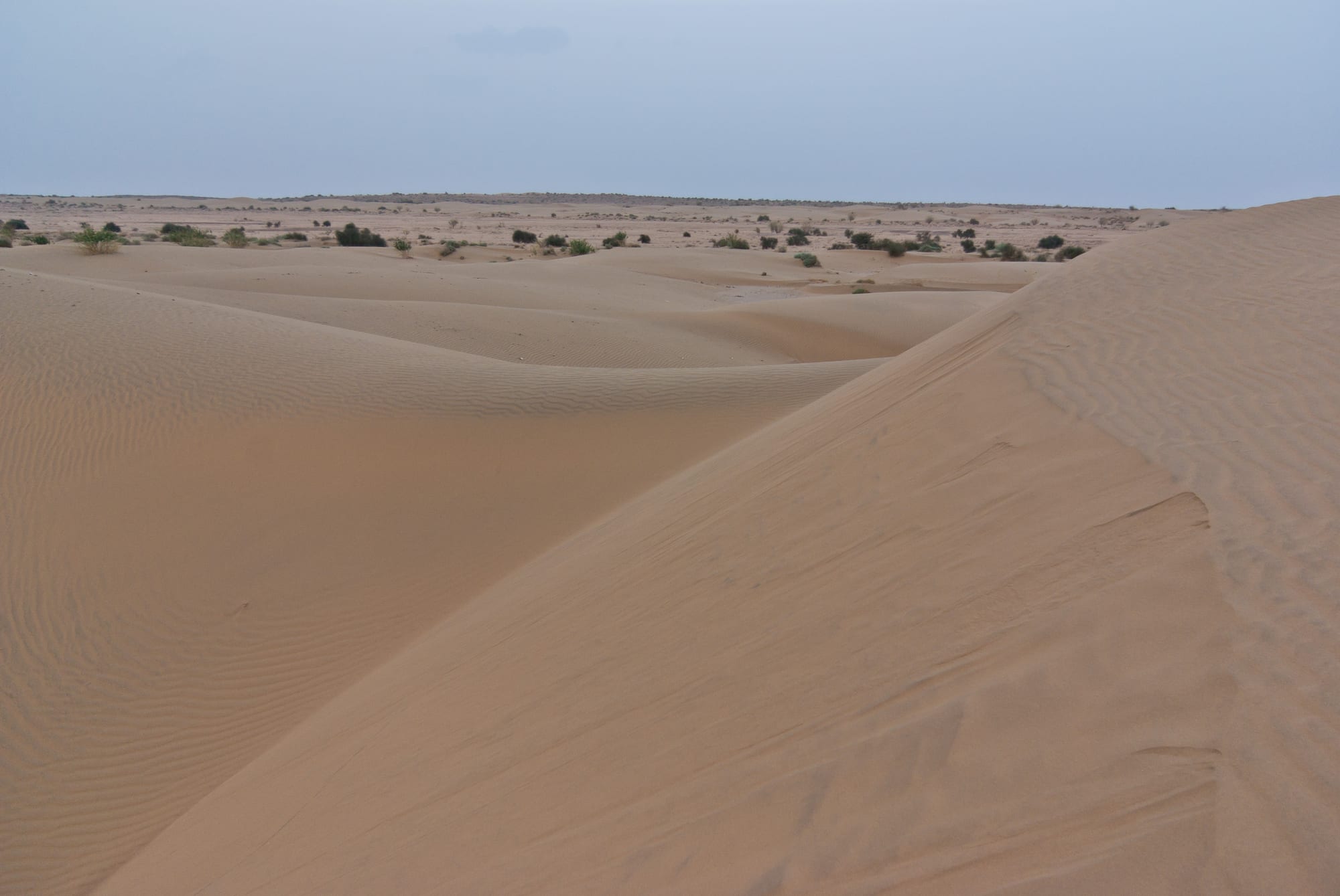
The desert's heat creates a zone of low pressure that the Arabian Sea branch of the monsoon flows towards.
The rain belt and the Roof of the World
The sea-breeze picture is only part of the story. Around the equator lies the Intertropical Convergence Zone, a belt of low pressure and unstable weather where the trade winds of the two hemispheres meet. It follows the overhead sun north and south through the year. When it moves north towards India in May and June, the south-east trade winds of the southern Indian Ocean are pulled across the equator to reach it. The spin of the Earth then deflects them to the right, turning them into south-west winds that sweep over thousands of kilometres of warm sea before they reach India's coast.
High above, the Tibetan Plateau acts as an enormous heater. As it warms in summer, the jet stream, a fast river of air high in the atmosphere, switches from a track over the plains of northern India towards the plateau, and a new easterly jet forms that helps draw warm, humid air towards the plains. The Himalayas hold that jet back for a while, then let it go suddenly, which helps explain the monsoon's famous "burst": an abrupt jump from hot, dry weather to daily downpours. The seasonal wind shift linked to the heating and cooling of the plateau is the strongest monsoon on Earth.
The mountains also act as a wall. Without the Himalayas, the south-west winds would carry on north towards Central Asia instead of dropping their moisture over the subcontinent.
Mountains that squeeze out the rain
Warm, wet wind does not rain on its own; something has to lift it. In India, that something is mostly high ground, and rain made this way is called orographic. As air is forced up a slope it expands, cools and condenses into cloud and rain.
The Western Ghats, which rise abruptly behind the west coast, are the first highlands the monsoon meets, and their seaward slopes are drenched. Just inland, east of the crest, lies a semi-arid rain shadow, because the air has already lost much of its water. The Arabian Sea branch, which is roughly three times stronger than the Bay of Bengal branch, pushes on north-east towards the Himalayas, while the Bay of Bengal branch curves north-west up the Ganges plain.
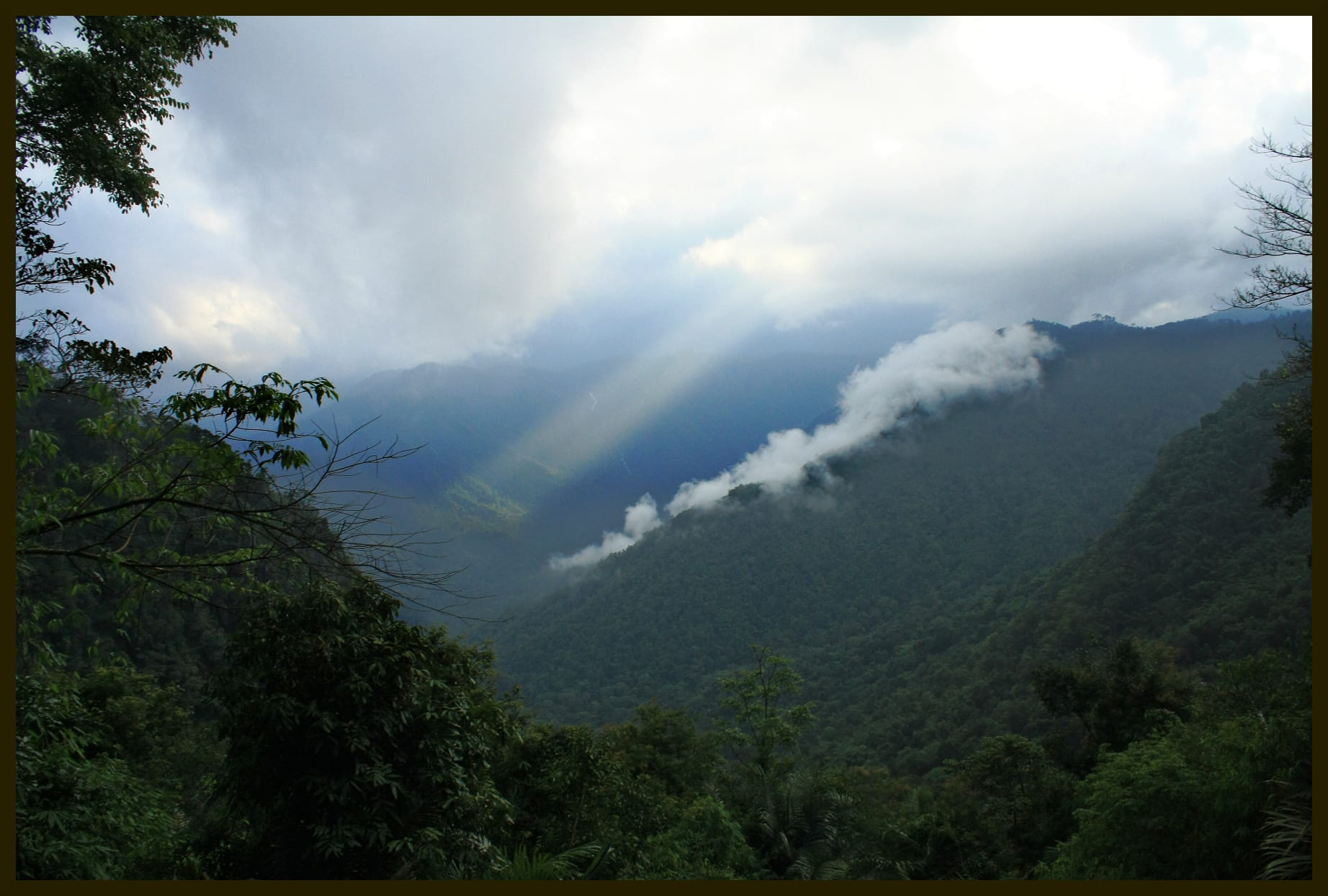
The Western Ghats are the first barrier the south-west winds hit, so their seaward slopes catch some of the heaviest rain in peninsular India.
The most extreme results are in Meghalaya, in the north-east. Clouds from the Bay of Bengal cross about 400 kilometres of flat Bangladeshi plain, then hit the Khasi Hills, which climb to about 1,370 metres within 2 to 5 kilometres. Deep valleys funnel the low clouds up the steep slopes. Mawsynram averages 11,872 millimetres of rain a year and is often called the wettest place on Earth, though two places in Colombia have reported higher averages. Nearby Cherrapunji, also known as Sohra, still holds the record for a single year: 26,461 millimetres between August 1860 and July 1861, including 9,300 millimetres in July 1861 alone.
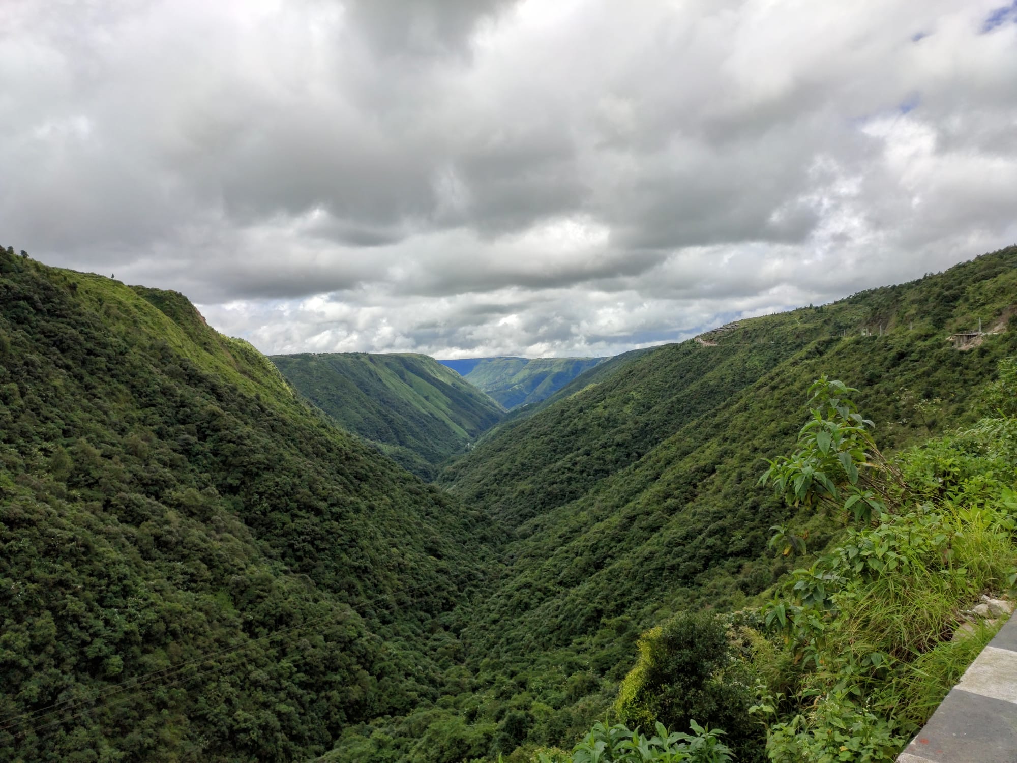
Steep valleys like this one channel low, moisture-laden clouds up into the hills, where they cool and release their rain.
A system tens of millions of years in the making
The monsoon has not always been this strong. Its strengthening has been linked to the rise of the Tibetan Plateau after India collided with Asia around 50 million years ago, and many geologists believe it first became powerful around 8 million years ago.
That link still matters. El Niño years, when the Pacific warms, tend to bring weak monsoons and drought to India, while La Niña years often bring strong ones. A similar see-saw in the Indian Ocean, the Indian Ocean Dipole, discovered in 1999, can cancel out El Niño's effect, as it did in 1997.
The real finance minister of India
The monsoon is the subcontinent's main source of fresh water, and India's farming calendar is built around it. More than half of the country's farmland is fed by rain rather than irrigation, so a late, weak or patchy monsoon means poor harvests, higher food prices and slower growth. Pranab Mukherjee once called the monsoon the "real finance minister of India".
The rains usually reach the Andaman and Nicobar Islands around 25 May and the Kerala coast around 1 June, Mumbai by about 9 June and Delhi by about 29 June, and cover the whole country by the first week of July. They begin to retreat from the north at the end of August and have left India by the end of November. In those few months, large parts of the country turn from near-desert to green.
The pattern is changing. Since the 1950s, monsoon rainfall over central India has fallen by up to 10 per cent, largely because the Indian Ocean has been warming quickly and narrowing the land-sea temperature contrast that drives the winds. At the same time, widespread extreme downpours across central India tripled between 1950 and 2015, bringing more flash floods.