Attractions & Natural Wonders · Nepal
Why does Nepal hold eight of the world's ten highest mountains?
Nepal straddles the middle of the Himalayan arc, where India has been driving into Asia for some 55 million years, and its border runs past the highest summits.
By Globeway Editorial · 13 October 2026
The short answer
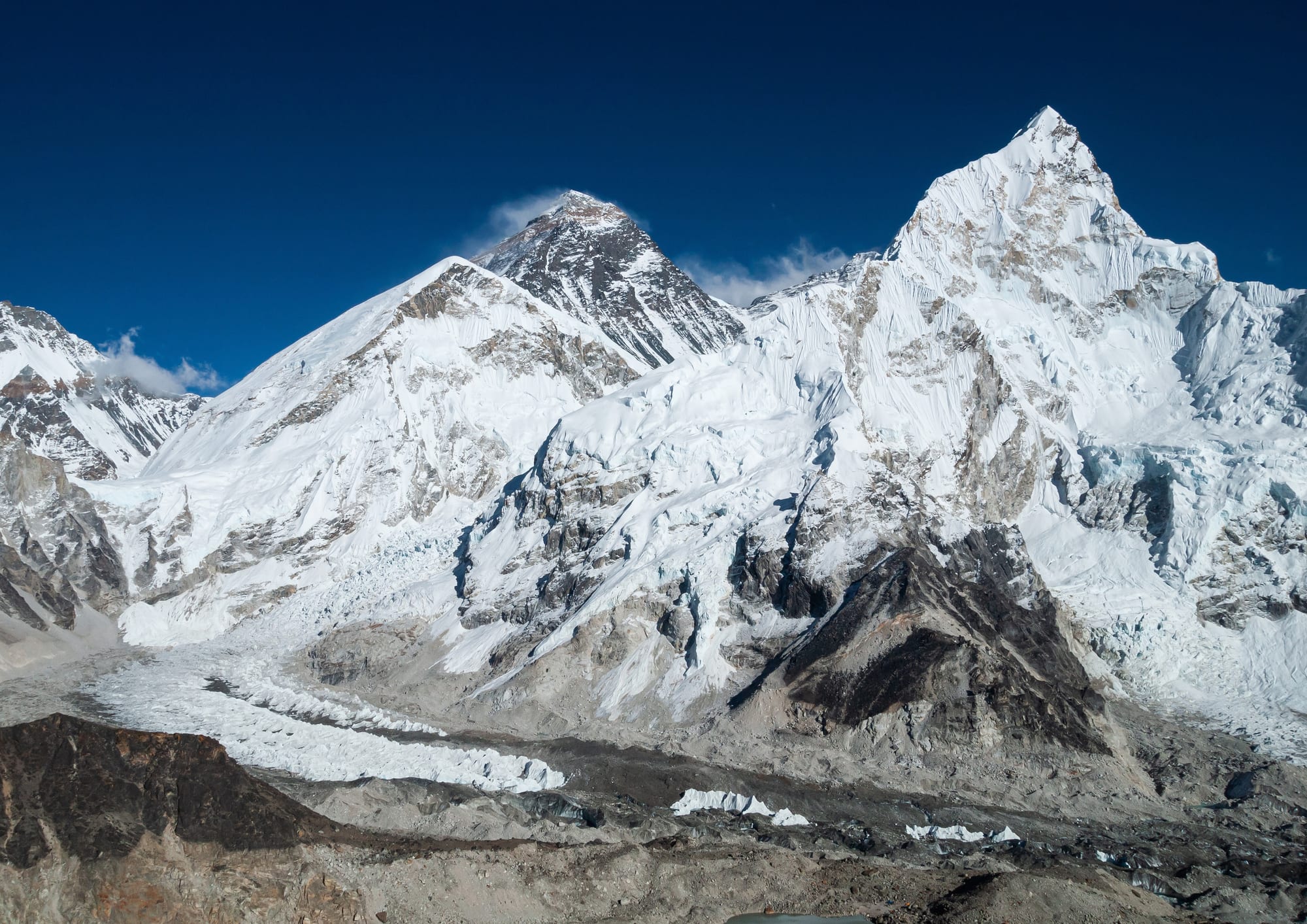
Nepal has so many of the world's highest mountains because of where it sits. The Himalayas were built, and are still being built, by the Indian tectonic plate pushing north into Asia, which has crumpled and stacked the rock of India's northern edge into the highest mountain range on Earth. Nepal occupies about 880 kilometres (547 miles) of the middle of that 2,400-kilometre arc, the stretch where the Great Himalaya stands tallest, and its border with Tibet runs close to the line of the highest summits.
The claim needs one small clarification. Of the eight giants counted as Nepal's, only three, Dhaulagiri, Manaslu and Annapurna, lie wholly inside the country. Everest, Lhotse, Makalu and Cho Oyu sit on the border with China, and Kangchenjunga on the border with India, so Nepal shares them. The other two in the top ten, K2 and Nanga Parbat, rise far to the north-west, in Pakistan-administered Kashmir; K2's summit is shared with a China-administered area.
A continent that would not sink
The story begins when India split away from the old southern supercontinent of Gondwana and travelled north across an ocean called the Neo-Tethys. Geologists estimate it moved at about 20 centimetres a year, faster than any plate moves today. As it approached Asia, the ocean floor in front of it slid down beneath the Asian plate and disappeared into the Earth's mantle.
India itself could not follow. Continental crust is thick and lighter than ocean crust, so it resists being pushed down. India's northwestern corner first touched Asia around 55 million years ago, and the plate slowed to about 5 centimetres a year, but it did not stop. Its lower crust and mantle slid under Asia, while the upper layers were scraped off and piled up in great stacked sheets of rock, known to geologists as nappes. The geophysicist Peter Molnar described most of the Himalayas as "slices of rock that once were the top part of India's crust". Behind the range, the squeezed Asian crust thickened into the Tibetan Plateau.
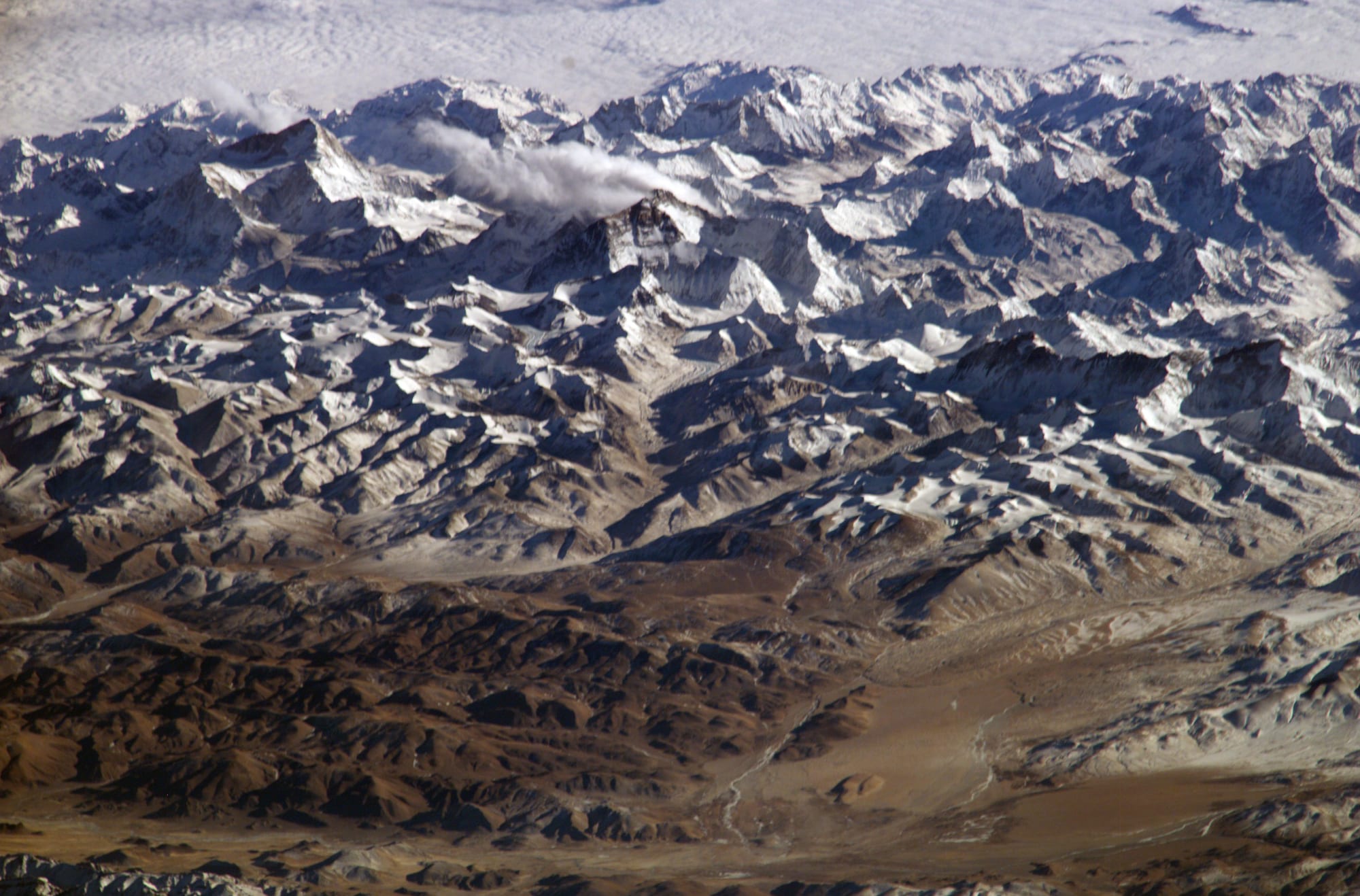
From orbit, the range shows its true form: a belt of crumpled, stacked rock where one continent has been driving into another for tens of millions of years.
Why the middle of the arc stands highest
The Himalayas curve for more than 2,400 kilometres between two anchor peaks: Nanga Parbat in the west and Namcha Barwa in the east. Nepal takes up roughly a third of that length, in the centre. Here the range rises in an orderly staircase from the plains. In the south, the Terai lowlands begin as low as 59 metres above sea level; further north the high Himalaya rise abruptly along a major fault, the Main Central Thrust, to peaks far above the snow line. Some 90 of Nepal's summits exceed 7,000 metres.
Each of the great massifs lines up along this high central belt. In the far east, Kangchenjunga stands on the border with Sikkim. Moving west come Makalu, Lhotse, Everest and Cho Oyu around the Khumbu region, then Manaslu, Annapurna and Dhaulagiri in central Nepal. West of Dhaulagiri, the remote far west of Nepal has ranges such as Kanjiroba and Gurans Himal but no 8,000-metre peaks, a reminder that height along the range is not even.
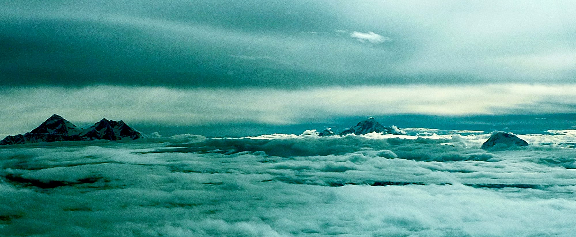
Three of the five highest mountains on Earth stand within a few dozen kilometres of one another along this stretch of the frontier.
A border drawn along the rooftop
Nepal's share of the giants also comes from where its northern boundary lies. The Nepal–Tibet border largely follows the watershed between the Ganges and the Yarlung Tsangpo, the river that becomes the Brahmaputra. Strangely, that dividing line is not on the highest peaks: the main watershed actually runs north of the highest ranges. Several Nepali rivers rise on the Tibetan side and cut straight through the mountains.
The clearest example is the Kali Gandaki. It rises right on the Tibetan border, flows south through the old kingdom of Mustang, which lies behind the main range, and then cuts straight between Dhaulagiri and Annapurna. Between the two peaks the riverbed is at 2,520 metres, some 5,571 metres below the summit of Annapurna I, in a gorge that some sources rank among the deepest in the world. Because Nepal's territory reaches beyond the line of summits here, Dhaulagiri, Annapurna and Manaslu lie entirely within the country. Dhaulagiri, at 8,167 metres, is the highest mountain anywhere that lies within the borders of a single country.
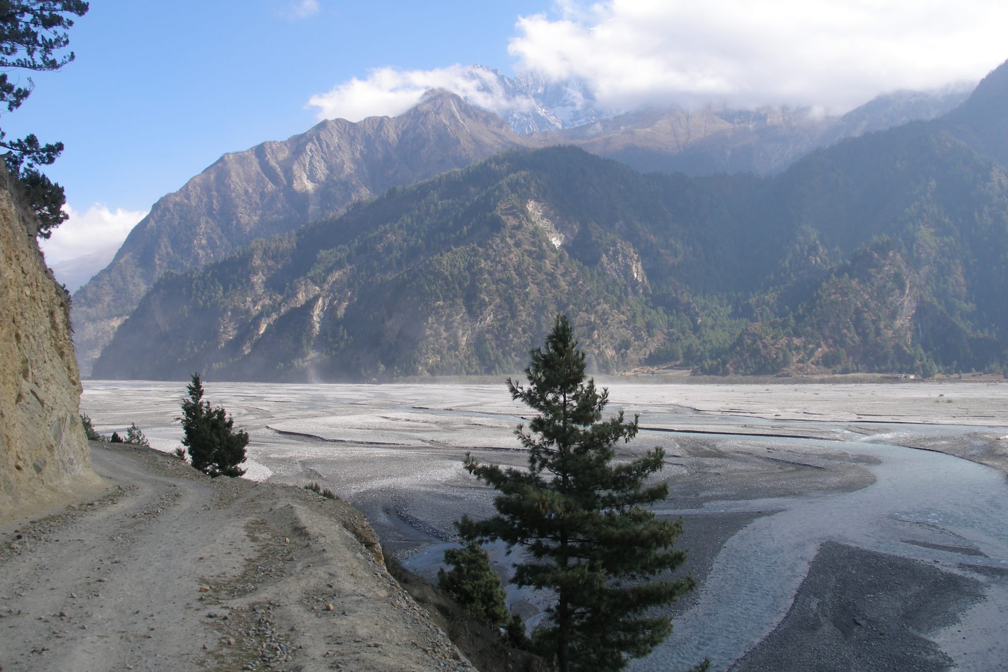
The Kali Gandaki rises at the Tibetan border and flows south, slicing through the line of the highest peaks rather than rising from them.
Mountains that are still rising
The collision has not finished. The Indian plate still moves about 67 millimetres a year, and roughly 20 millimetres a year of the squeeze is taken up along the Himalaya's southern front, where the land is being thrust upwards. The range as a whole rises by about 5 millimetres a year, and Everest by about 2. At the same time, rivers, glaciers and monsoon rain wear the mountains down at some of the highest erosion rates on the planet, between 2 and 12 millimetres a year.
The same movement makes Nepal vulnerable to great earthquakes, as experts had warned for decades. Much of the strain is stored on the Main Himalayan Thrust, the largest active continental megathrust fault in the world, which dips gently north beneath the mountains. When it slips, the effects can be devastating. The Gorkha earthquake of 25 April 2015, with a magnitude of 7.8 to 7.9, killed 8,962 people, shifted the ground beneath Kathmandu about 3 metres south in 30 seconds and set off an avalanche on Everest that killed 22, the deadliest incident ever recorded on the mountain.
Everest's height itself has been measured again and again. Measurements by the Great Trigonometrical Survey of India in 1849 showed that the peak then known as Peak XV was higher than Kangchenjunga, which until then had been assumed to be the world's highest; the result was announced in 1856. The most recent figure, 8,848.86 metres, came from a joint Nepalese and Chinese survey in 2020.