History · United States
Why does so much of New Orleans sit below sea level?
The old city stands on high ground by the river, but drained swamps, sinking soil and levees that starve the land of mud have left much of it below the water.
By Globeway Editorial · 13 October 2026
The short answer
Not all of New Orleans is below sea level. The old city was built on the high ground of the Mississippi's natural levees, banks of silt the river had piled up in its floods, and parts of Uptown stand as high as 20 feet above sea level. But as the city grew, it spread back from the river into marsh and swamp that was drained and pumped dry. Estimates of how much of the city now lies at or below sea level range from about half to around 65 percent, and its lowest corners in Eastern New Orleans are about 7 feet below.
That land sits so low for two reasons. It was low to begin with, and it has been sinking. The soft delta soils compact and shrink as they dry out, and pumping out groundwater adds to the problem. For thousands of years the river's floods spread fresh layers of mud that made up the loss, but levees built to protect the city now keep that mud out. The ground goes on settling with nothing to replace it, while the defences keep the water out.
A city on a river's high banks
New Orleans was founded in the spring of 1718 by the French Mississippi Company under Jean-Baptiste Le Moyne de Bienville, about 105 miles upriver from the Gulf of Mexico. The site had obvious advantages. It lies where the distance between the Mississippi and Lake Pontchartrain is shortest, a spot Louisiana Indians had long used to move goods between the two waterways, and the river's crescent bend slowed approaching ships.
The settlers built on the natural levees along the river, the highest ground around. Behind them, the back of town drained down into swamps running toward the lake. Floods from the river were a routine hazard, and the first artificial levees and canals went up in early colonial times. Through most of the 19th century houses were raised at least a foot above the street, because flooded streets were a certainty.
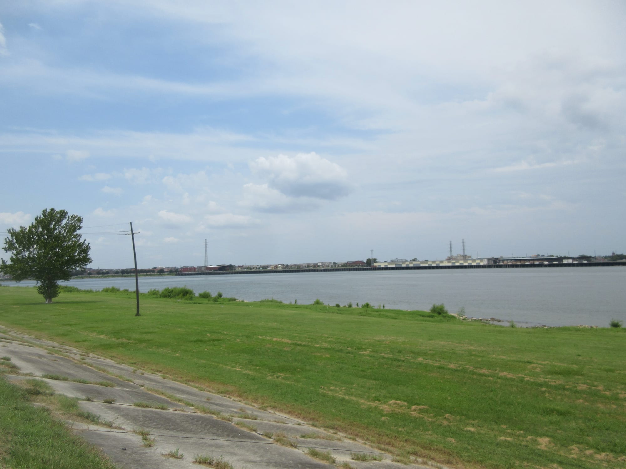
Artificial levees now line both sides of the Mississippi to hold the river on its course, a system so long and massive that it is often compared to the Great Wall of China.
Draining the swamp
As the city grew, the demand for land pushed it into lower ground. In the 1830s the state engineer George T. Dunbar proposed underground drainage canals, and the city's first steam-powered drainage pump, adapted from a ship's paddle wheel, was built in that decade. Even so, at the end of the 19th century rainwater still often covered streets from kerb to kerb for days.
In 1899 the city founded the Sewerage and Water Board, which hired a young engineer, A. Baldwin Wood. With his improved pumps, much of the land that had been swamp or rough cow pasture was drained during the 20th century, and the city spread back from the river. After 1945 all the land up to the lake had been developed. Following the Flood Control Act of 1965, the U.S. Army Corps of Engineers built floodwalls and levees around a far larger area that took in former marsh and swamp, and pumping opened it up for housing.
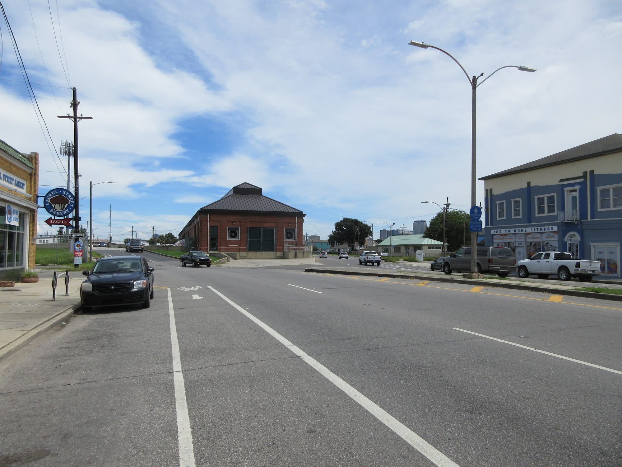
Wood's pump designs were adopted around the world. As of 2017 the city's system could pump out more than 45,000 cubic feet of water a second.
The pumps solved one problem and deepened another. Half the land between the lake, the river and the surrounding wetlands is at or below sea level and has no natural outlet for rainwater, so almost every drop that falls there must be pumped out. The levees that keep the river and lake out also keep the rain in.
Why the ground keeps sinking
New Orleans is built on thousands of feet of soft sand, silt and clay. The American Society of Civil Engineers explains that the ground settles naturally as organic marsh soils consolidate and oxidise, breaking down once they are drained and exposed to air, and that local groundwater pumping adds to it. In the past, the Mississippi's floods laid down new sediment that balanced the sinking and kept south-east Louisiana at or above sea level. Flood control works upstream and the levees around the city now stop that sediment from arriving.
How fast and how deep the sinking goes is debated. A 2006 study by an associate professor at Tulane University found the deep base of much of the delta had barely moved in 8,000 years, though it noted the result might not apply to New Orleans itself. In 2016 a NASA study found most areas were subsiding at a highly variable rate, somewhat faster than earlier studies had suggested.
The same forces are eating the coast. Since 1930 Louisiana has lost more than 1,900 square miles of land to water, equal to a football field every 30 minutes, partly because levees stop the river from carrying silt into the marshes. Coastal marshes act as a buffer between open water and the city's defences.
Katrina and the walls rebuilt
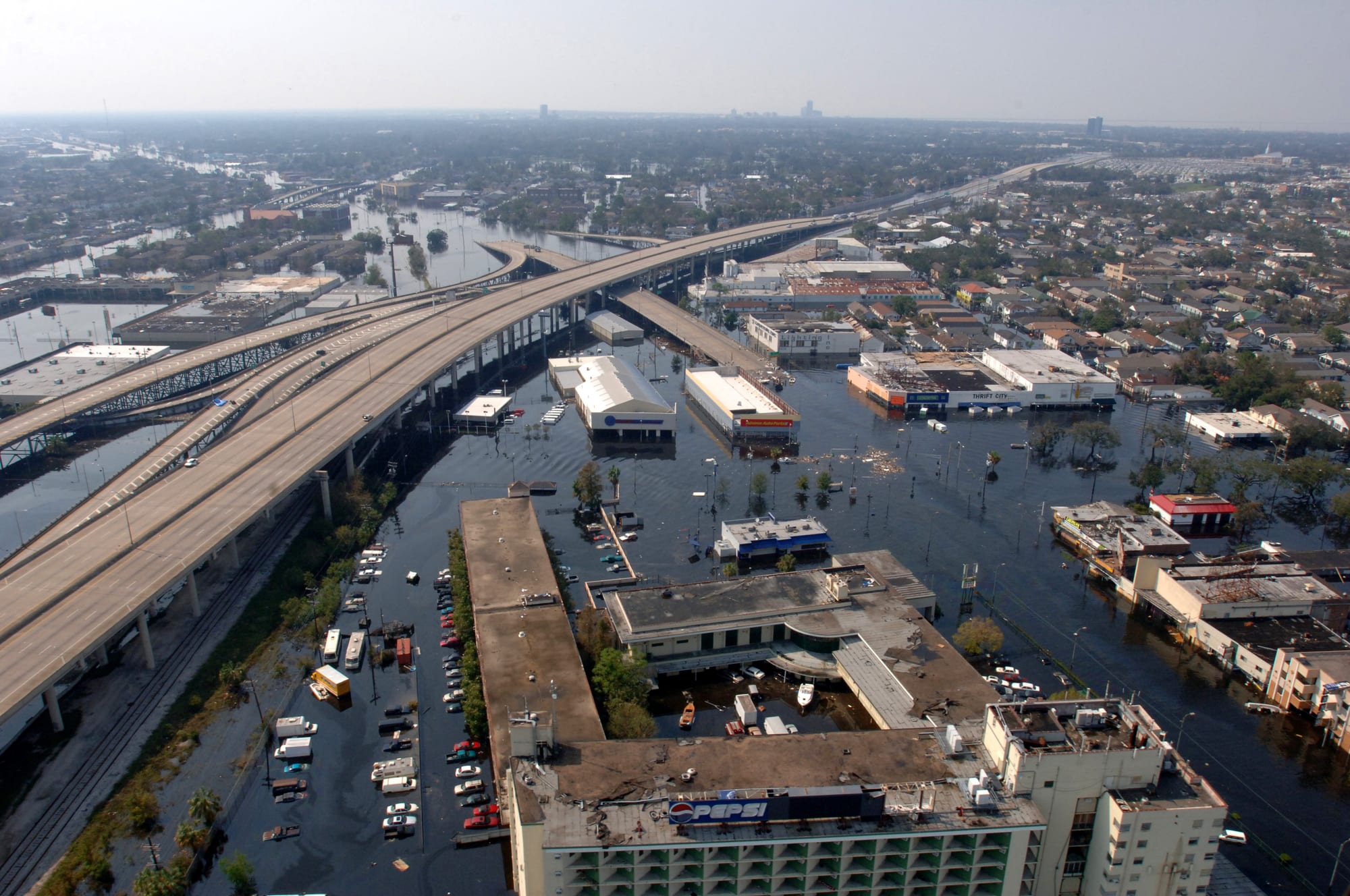
On 29 August 2005 Hurricane Katrina showed the danger. The storm itself did not flood the city. A series of failures in poorly designed levees and floodwalls let water from Lake Pontchartrain and the Gulf pour in, and by 31 August about 80 percent of New Orleans was under water. More than 1,300 people died. West of the Industrial Canal, the parts of the city that stayed dry or nearly dry largely matched the areas built on naturally higher ground before 1900.
1718 | New Orleans is founded on the high ground of the river's natural levees. 1830s | The city's first steam-powered drainage pump is built. 1899 | The Sewerage and Water Board is founded. 1927 | About 15 inches of rain in 19 hours deluges the city. 1965 | After the Flood Control Act, levees enclose large areas of former marsh. 2005 | Levee failures during Hurricane Katrina flood about 80 percent of the city. 2018 | A new $14 billion storm defence system is completed.
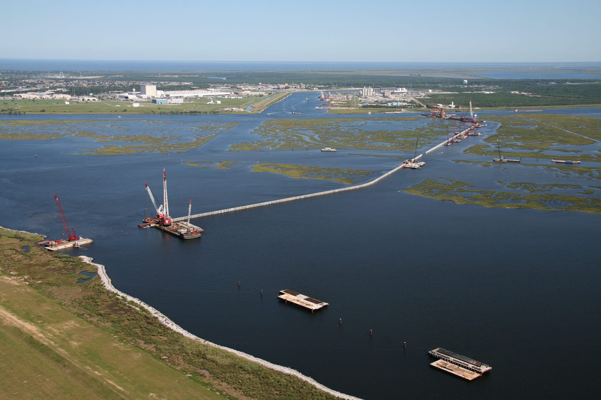
Congress then paid for the Hurricane and Storm Damage Risk Reduction System, completed in 2018 at a cost of about $14 billion. It includes 350 miles of levees and floodwalls and is designed to protect against a storm surge with a 1 percent chance of happening in any year, with allowances for sea level rise and subsidence over its 50-year design life. Even so, the Corps of Engineers warned in 2019 that faster sea level rise and continued sinking could reduce that protection as early as 2023.