History
Why does the international date line zigzag?
The line is no law of nature but a map-makers' convention, bent wherever island nations chose which side of the calendar to live on
By Globeway Editorial · 13 October 2026
The short answer
The International Date Line zigzags because it is not a natural boundary or a line fixed by treaty. It is a convention drawn by map-makers, roughly following the 180-degree meridian halfway round the world from Greenwich, and it bends wherever the countries and territories of the Pacific have decided, through their own laws, which calendar date to keep. No international body has ever fixed its course, so each country through whose waters it passes has been free to move it.
Those choices have mostly followed trade and politics. Places pick the date of the neighbours they do business with: Alaska switched sides when the United States bought it, the Philippines when its trade turned from Mexico to Asia, and Samoa when Australia and New Zealand became its main partners. The biggest bulge, a swing far to the east around the Republic of Kiribati, dates only from the end of 1994.
A day lost at sea
The date line solves a puzzle that sailors met long before anyone drew it. Travelling west around the world, a voyager sets clocks back an hour for every 15 degrees of longitude; after a full circuit those hours add up to a whole day. Somewhere, a day must be added back, and the date line is where that happens. Crossing it westward moves the calendar forward by a day; crossing it eastward moves it back.
The 180th meridian was a convenient place for the switch, because it runs almost entirely through open ocean. But the 1884 International Meridian Conference, which made Greenwich the world's zero of longitude, explicitly refused to set any time zones, saying they lay outside its remit. The line on today's maps has therefore never been agreed by any treaty or international organisation. On land and in territorial waters, each nation sets its own time by its own laws, and the date line is simply the edge where those national choices meet.
Following the trade routes
The oldest kinks are inheritances from empire. When Ferdinand Magellan claimed the Philippines for Spain in 1521, he had sailed there westward from Seville. The islands were governed as part of New Spain and their most important link was with Acapulco in Mexico, so they kept the American side's date, a day behind their Asian neighbours, for more than 323 years. After Mexico became independent in 1821, Philippine trade turned towards China and the Dutch East Indies. In 1844 the governor-general ordered that Tuesday 31 December be dropped from the calendar; Monday 30 December 1844 was followed directly by Wednesday 1 January 1845.
Alaska went the other way. Russian settlers had arrived from Siberia and kept the Asian date, along with the Julian calendar, then 12 days behind the Gregorian one. When the United States bought the territory in 1867, it moved to the American side of the line, and the transfer took place in Sitka on what is now celebrated as Alaska Day, 18 October 1867.

Bends in the north
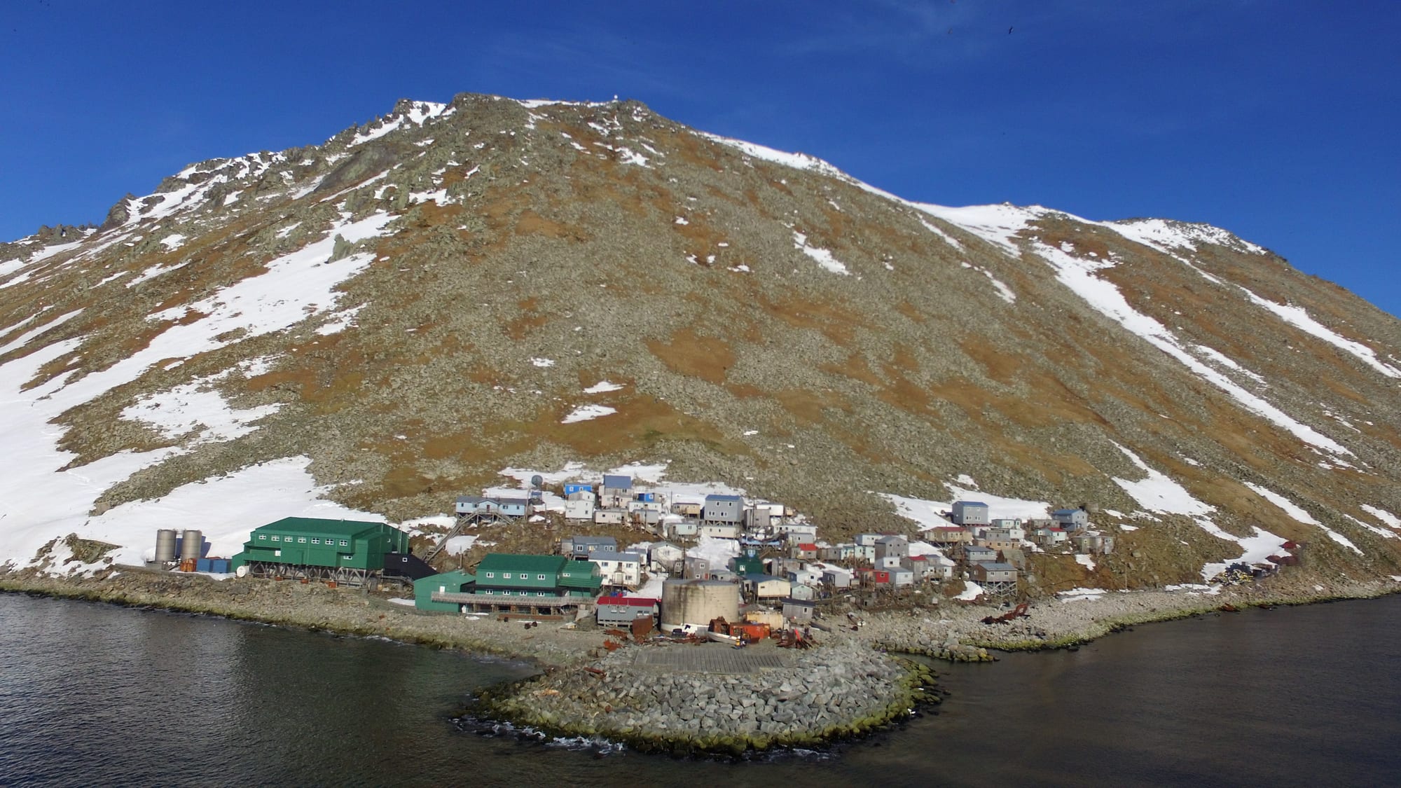
In the far north, the line swings east of 180 degrees to keep the whole of Russia's Chukchi Peninsula and Wrangel Island on the Asian date. It then passes through the Bering Strait between the two Diomede Islands, which lie only about 3.8 km (2.4 miles) apart. Big Diomede is Russian and Little Diomede belongs to the United States, and because of the date line, local clocks on Big Diomede run 21 hours ahead of those on its neighbour (20 in summer). The islands are sometimes called Tomorrow Island and Yesterday Island.
Further south the line bends west of 180 degrees to keep all of the US Aleutian Islands on the American date, leaving Russia's Commander Islands on the other side, before returning to the meridian. The result is that all of Russia lies west of the line, and all of the United States lies east of it, apart from Guam, the Northern Mariana Islands and Wake Island.
The great Pacific bulge
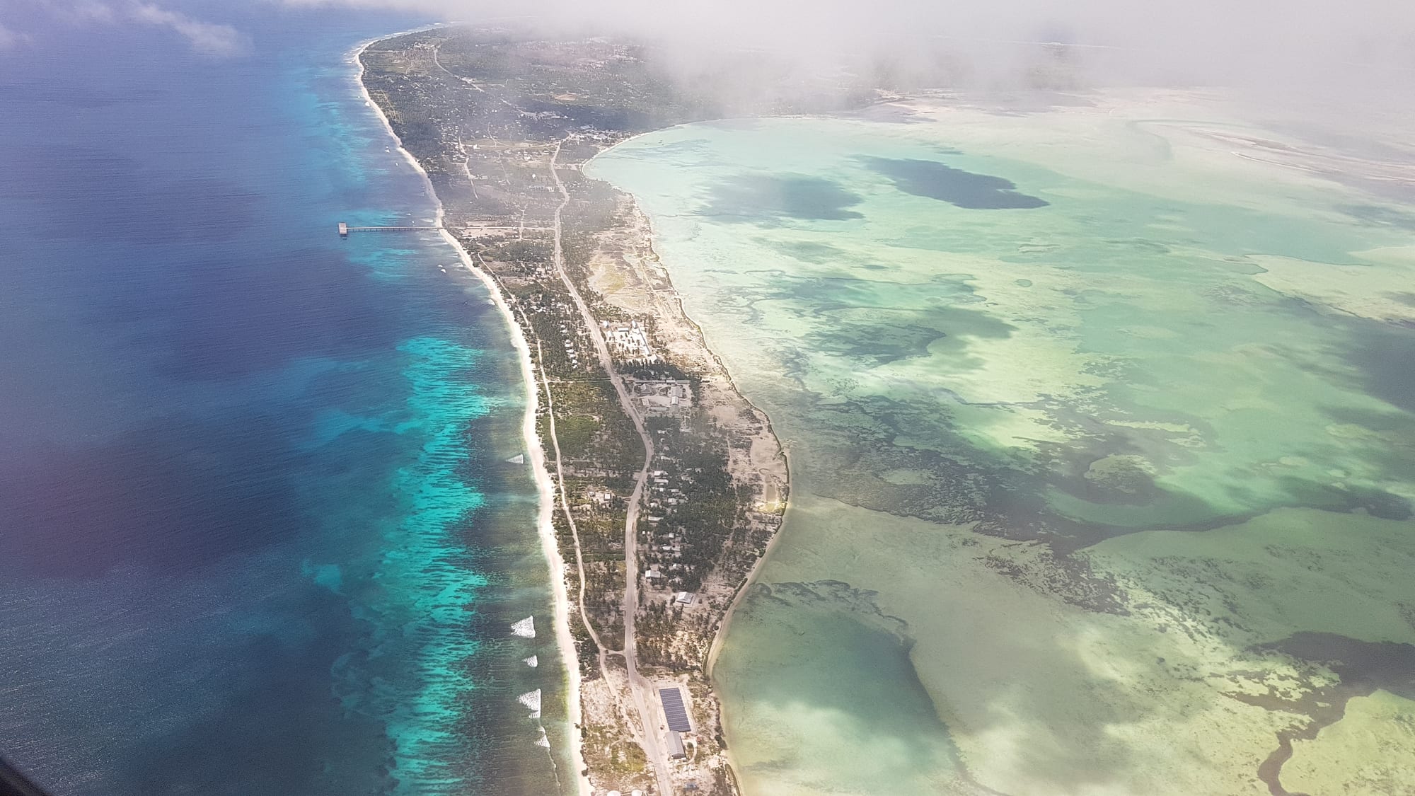
The most dramatic detour is in the central Pacific. Under British rule, the colony that became Kiribati was centred on the Gilbert Islands, just west of the line. The country that became independent in 1979 also included the Phoenix and Line Islands, which lay east of it, so it straddled the date line. With government offices on different days, the two halves shared only four working days a week on which they could do routine business by radio or telephone. Kiribati solved this by dropping Saturday 31 December 1994 from the calendar of its eastern islands. The line, in effect, swung east to wrap round the whole country, almost reaching 150 degrees west.
As a result, Kiritimati and the rest of Kiribati's Line Islands, south of Hawaii, now keep the latest time on Earth, 14 hours ahead of UTC, while two uninhabited US atolls just north of the equator, Howland and Baker, keep the earliest, 12 hours behind. For two hours every day, three different dates exist on Earth at once.
Further south, Samoa made a similar move. In 1892 American traders persuaded its king to adopt the American date, and the change was made by repeating Monday 4 July. In 2011 it switched back, skipping Friday 30 December, because Australia and New Zealand had become its biggest trading partners and being 21 hours behind them left only four shared working days a week. The line now runs between Samoa and American Samoa, a day apart.
- 1521
Magellan claims the Philippines for Spain; the islands keep the American-side date.
- 1844
The Philippines drops 31 December to join its Asian neighbours.
- 1867
Alaska moves to the American date after its purchase by the United States.
- 1892
Samoa repeats Monday 4 July to adopt the American date.
- 1994
Kiribati drops 31 December so its eastern islands match the rest of the country.
- 2011
Samoa skips Friday 30 December to rejoin the Asian side.
A line on paper only
Even the map's version is something of a fiction. Ships on the high seas follow a separate nautical date line, set by a 1917 Anglo-French conference, which keeps to the 180th meridian except where it meets territorial waters. Strictly, when it is Monday on Kiribati's eastern islands it is still Sunday in the ocean around them. Britain's Nautical Almanac Office still prints a line close to the one used around 1900 and simply labels each island group with its time, making eastern Kiribati islands of Asian date in a sea of American date.