Attractions & Natural Wonders · United States
Why do the Great Lakes hold a fifth of the world's fresh surface water?
An ancient rift, ice sheets two miles thick and the meltwater they left behind gave North America a store of fresh water that is barely renewed each year.
By Globeway Editorial · 13 October 2026
The short answer
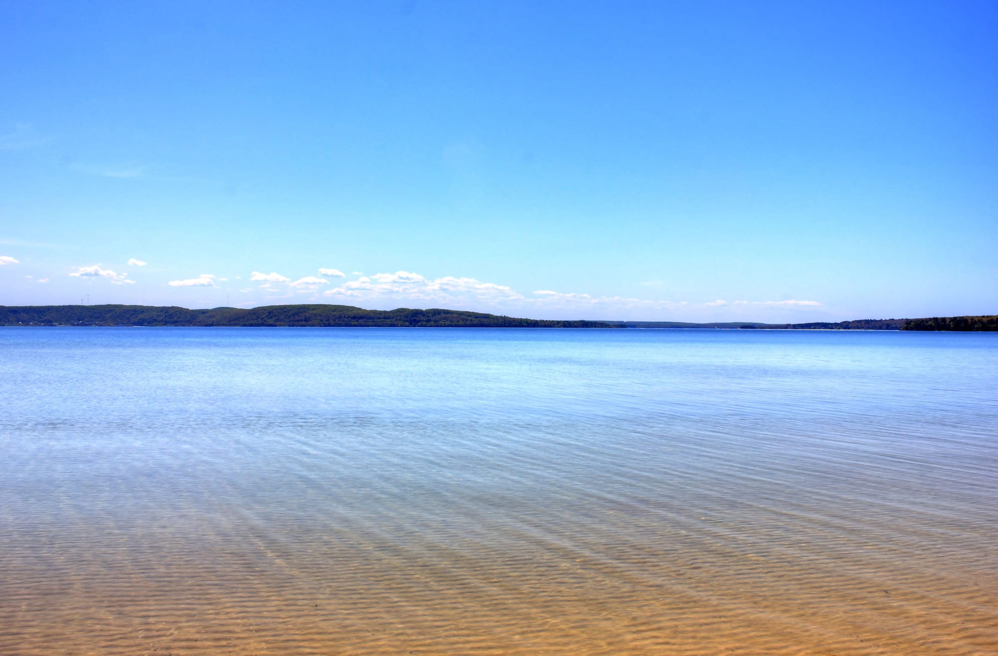
The Great Lakes hold so much water because they fill unusually deep, wide basins, and those basins were dug out by ice. Over the past two and a half million years, ice sheets up to 2 miles (3 kilometres) thick repeatedly ground across the middle of North America, gouging hollows into rock that was already weakened by ancient rifts. When the last ice sheet melted, around 14,000 years ago, its meltwater poured into the hollows. Together the five lakes now hold about 5,439 cubic miles (22,671 cubic kilometres) of water, 21 percent of all the fresh water lying on the surface of the planet.
The other half of the answer is that the water stays. In a typical year only about 1 percent of the lakes' volume is new water from rain, rivers and springs. Most of what fills them is, in effect, an inheritance from the ice age, held in place by deep basins and a single natural outlet to the Atlantic through the Saint Lawrence River.
A crack in the continent, a billion years old
The story starts long before the ice. About 1.1 billion years ago the core of North America began to split apart along a line now called the Midcontinent Rift. Molten rock welled up and flooded the region with thick flows of basalt lava, much as the Afar region of East Africa is being pulled apart today. Then, after some 15 to 22 million years, the rifting stopped. The continent never broke in two, but it was left with a scar about 1,200 miles (2,000 kilometres) long. Geologists describe it as the deepest healed rift ever found: no known deeper rift has failed to become an ocean.
Lake Superior sits in the basin created by that rift. A second break, the Saint Lawrence rift, opened around 570 million years ago and laid the foundations for Lake Ontario, Lake Erie and the river that drains them all. The ice that came much later did not have to start from scratch. It exploited low ground and weak rock that the deep past had already prepared.
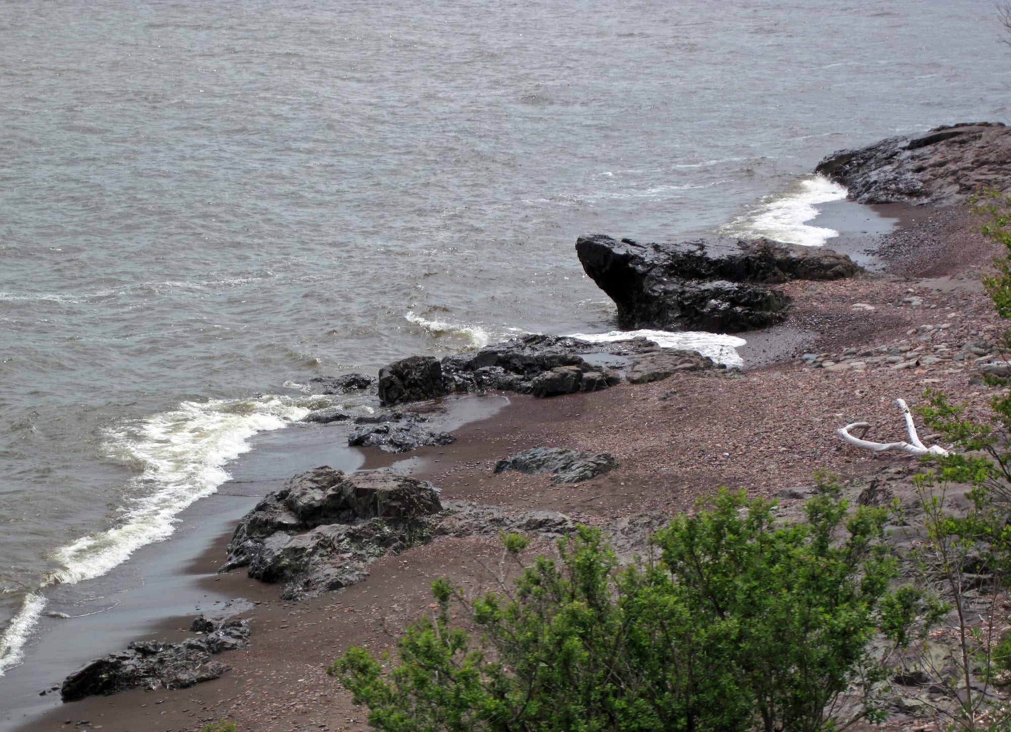
Black basalt from the rift's eruptions still lines parts of Superior's northern shore. Where the rift is buried further south, geologists trace it by the slightly stronger gravity of its dense rock.
Ice two miles thick
During the ice ages of the past 2.58 million years, a vast glacier called the Laurentide Ice Sheet spread south from Canada again and again, covering millions of square miles, including the whole Great Lakes region. At its thickest, over northern Quebec, it reached about 2 miles (3 kilometres). Even near its edge the ice was immense: over what is now Manhattan it stood around 2,000 feet (610 metres) high.
Moving ice is a powerful earth-mover. It dragged rock and gravel along its base, scraped out valleys and left behind ridges of debris called moraines. Where the ice met soft rock and old low ground, it dug deep. Because it eroded unevenly, some higher hills survived and became the islands of today's lakes, of which there are around 35,000. The weight of the ice also pushed the land down. When it melted, the ground slowly sprang back, a process called glacial rebound, and it rose at different rates because some areas had been buried for longer than others. Around New York the land has risen more than 150 feet (46 metres) since the ice left.
Meltwater, then a long settling
As the Laurentide Ice Sheet retreated, from around 14,000 years ago, it uncovered the basins it had carved and filled them with meltwater. The first lakes were not the ones on today's map. Huge temporary bodies of water with names such as Lake Algonquin, Lake Chicago and Glacial Lake Iroquois spread across the region, their outlets shifting as the ice front moved north and the rebounding land tilted. Lake Algonquin, which covered the Huron basin, gave way about 7,000 years ago to smaller lakes, and roughly 3,000 years after that Lakes Michigan, Huron and Superior took their present shape.
Since then, evaporation and drainage have broadly balanced the water coming in, and the lakes' levels have stayed relatively constant. But the lakes were first filled by glaciers that no longer exist. Rain, snow, rivers and groundwater springs now add only about 1 percent of the volume each year. Lake Superior is so large that a drop of water entering it stays, on average, 191 years before it moves on. The lakes are less a river system than a giant reservoir topped up very slowly.
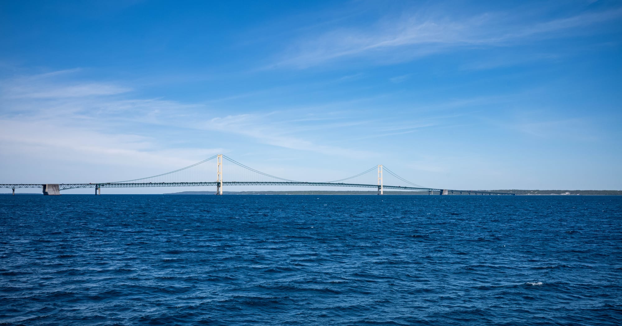
The straits are 5 miles (8 kilometres) wide at their narrowest point. Water flows freely between the two lakes, which share the same mean water level.
Five lakes, one great reservoir
The lakes are Superior, Michigan, Huron, Erie and Ontario, although hydrologically Michigan and Huron are a single body of water joined at the Straits of Mackinac. Together they cover 94,250 square miles (244,106 square kilometres), roughly the area of the United Kingdom, which makes them the largest group of freshwater lakes on Earth by area.
The water is far from evenly shared. Lake Superior alone holds about 2,900 cubic miles (12,100 cubic kilometres), more than half of the system. It is the largest freshwater lake in the world by surface area, with an average depth of 483 feet (147 metres) and a maximum of 1,333 feet (406 metres). Its deepest point lies 733 feet (223 metres) below sea level. Lake Erie, by contrast, is shallow and warm enough in places to suffer from algae blooms.
By volume the Great Lakes rank second in the world, not first. Siberia's Lake Baikal holds slightly more on its own, about 5,666 cubic miles (23,615 cubic kilometres), or 22 to 23 percent of the world's fresh surface water, and the African Great Lakes together hold about a quarter of the world's unfrozen surface fresh water. A fifth is a fair description of the North American share.
Why surface water is so precious
The figure of one fifth sounds even larger when set against how little of Earth's fresh water sits on the surface at all. Only about 2.5 percent of the planet's water is fresh, and most of that is frozen in ice sheets and glaciers or held underground as groundwater. Lakes, rivers and swamps hold only a sliver of the total, and lakes account for about 87 percent of that sliver.
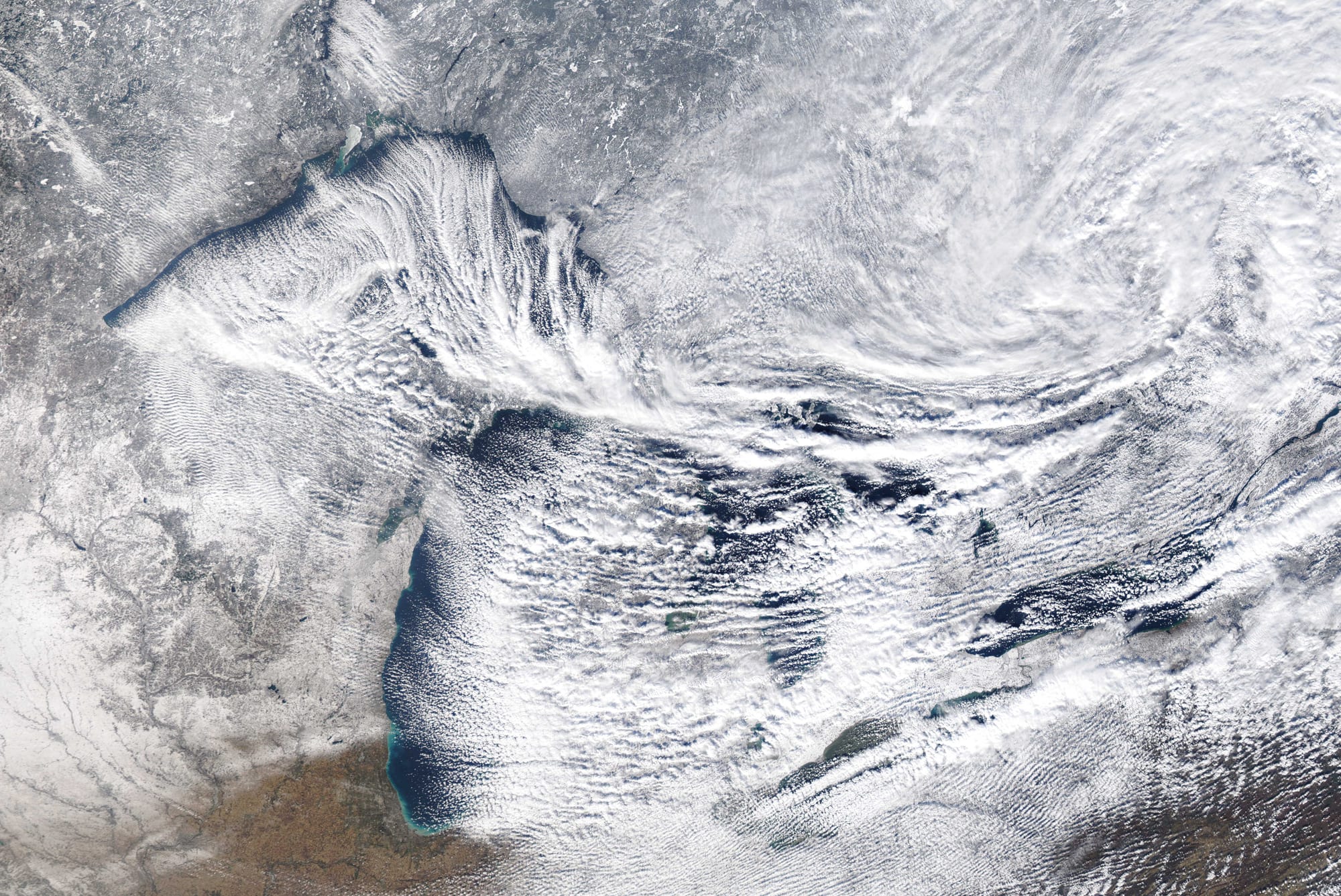
Evaporation is one of the main ways water leaves the lakes. In the post-glacial period it has been roughly balanced by the water coming in.
Because so little of the water is renewed each year, it cannot be treated as an endless supply. Nearly 40 million people in the region rely on the Great Lakes for drinking water, and proposals to pipe or bottle the water for drier parts of the continent have long worried people on both sides of the border. Under a 1986 federal law, any diversion of water out of the basin needs the approval of all eight Great Lakes governors, and the Great Lakes Compact, approved by the legislatures of all eight bordering states, is designed to prevent most future diversions and all long-distance ones. The ice age filled the lakes once; today's rain and rivers replace only a sliver of that water each year.