Attractions & Natural Wonders · Chile
Why does the Atacama Desert almost never see rain?
Mountains on both sides, a cold ocean current and a semi-permanent zone of high pressure combine to make the Atacama the driest non-polar desert on Earth.
By Globeway Editorial · 13 October 2026
The short answer
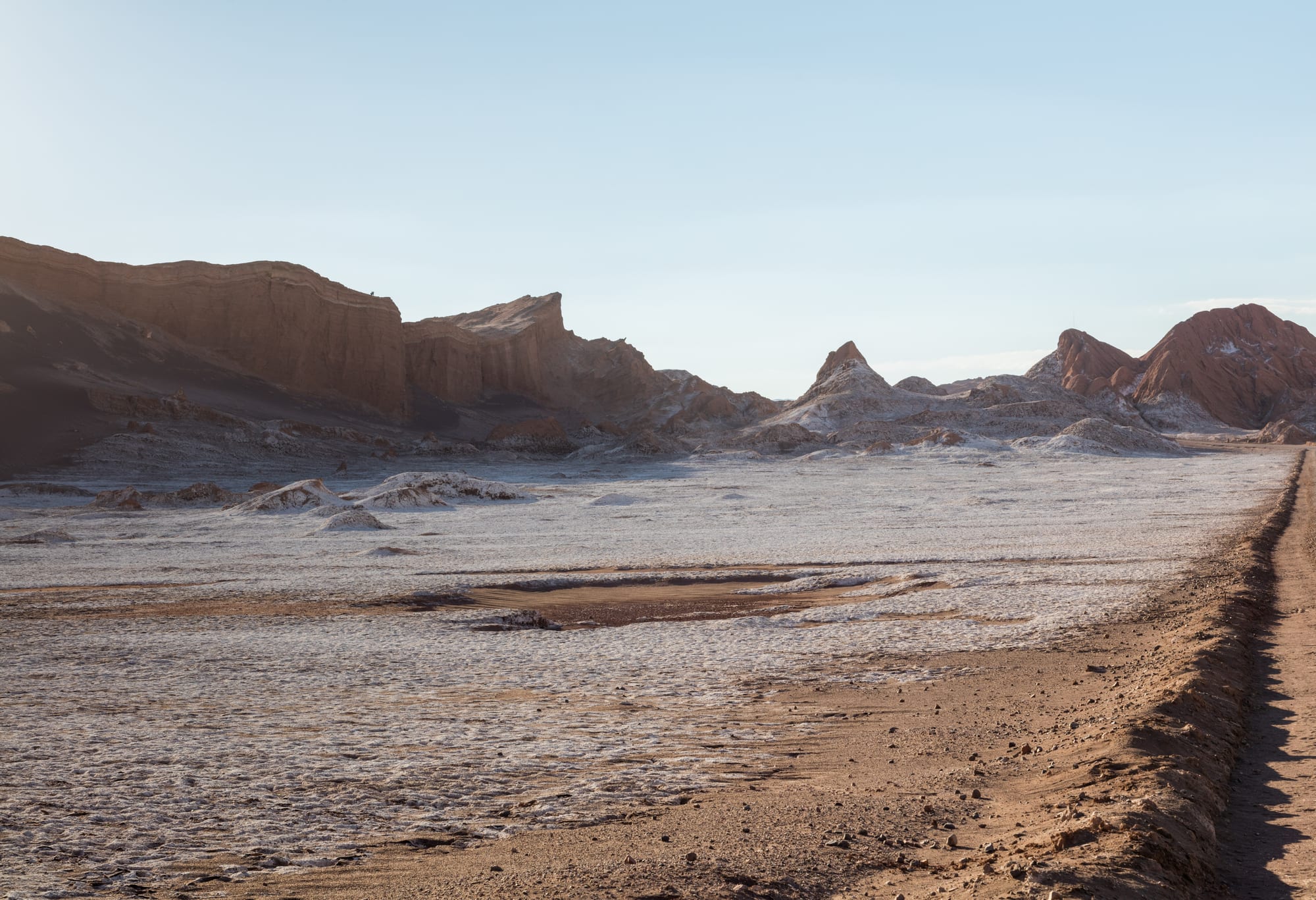
The Atacama, in northern Chile, is boxed in. To the east the Andes block moist air coming from the Amazon and the Atlantic, and to the west the Chilean Coast Range blocks most moisture from the Pacific. That double barrier creates what geographers call a two-sided rain shadow. On top of this, the cold Humboldt Current flowing up the coast chills the air above the sea so that it produces fog and low cloud but not rain, and a semi-permanent zone of high pressure over the south-east Pacific pushes dry, sinking air down over the whole region.
The result is the driest non-polar desert in the world. Average rainfall is around 15 millimetres (0.6 inches) a year, some places receive only 1 to 3 millimetres, and some weather stations have never recorded rain at all. There is evidence that parts of the desert received no significant rainfall between 1570 and 1971. The Atacama has been this way for an extraordinarily long time, perhaps tens of millions of years.
Walled in by mountains
Rain usually needs moist air to rise and cool until its water vapour condenses. When wind pushes damp air up a mountain range, the air expands, cools and drops its moisture on the windward slopes. By the time it crosses the crest and sinks down the far side, it has lost most of its water, and it warms as it descends, which makes it drier still. The dry land behind the mountains is the rain shadow.
The Atacama has mountains on both sides. To the east, moist air from the Amazon lowlands runs into the Andes and drops its rain there, which is why the eastern slopes carry humid cloud forest while the western side is bare. Geologists generally link the desert's extreme dryness to the rise of the Andes, although a drier climate there is older than the mountains. To the west, the Chilean Coast Range runs along the shore from Arica southwards and reaches 3,114 metres (10,217 feet) at its highest point in the Antofagasta Region, high enough to block most moist air from the Pacific.
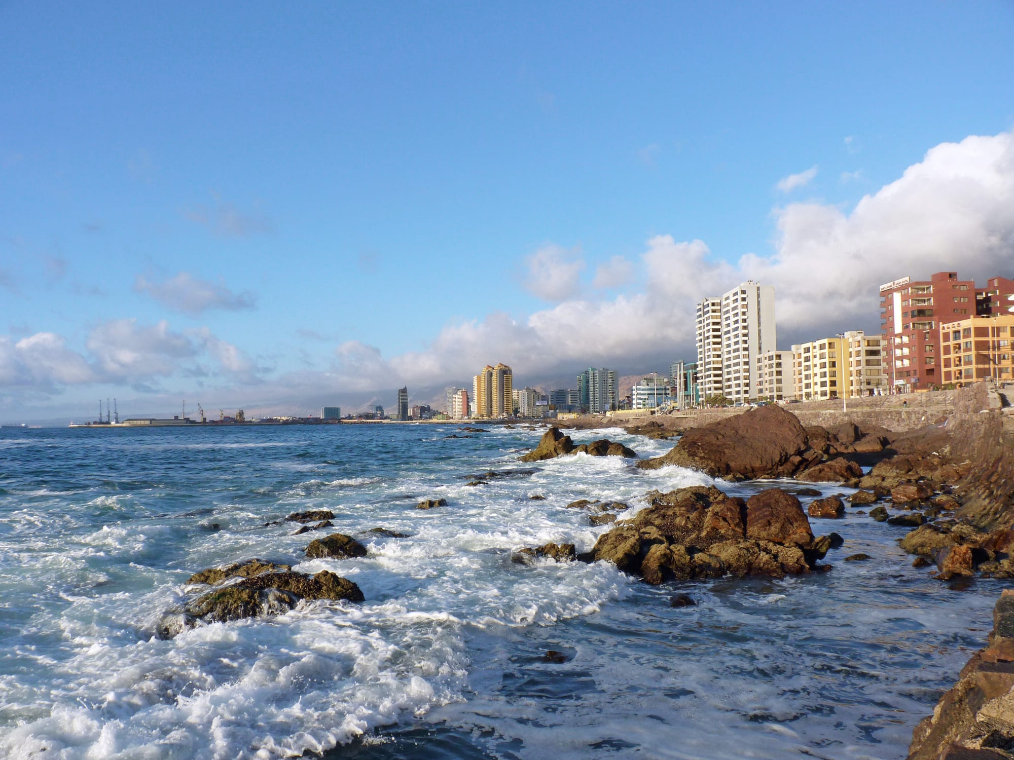
Cloud often gathers over the coast here, but it rarely turns into rain. Between the coastal mountains and the Andes lies the true core of the desert.
A cold sea that makes fog, not rain
The Atacama lies beside a cold sea. The Humboldt Current carries cold, low-salt water from the sub-Antarctic north along the coasts of Chile and Peru, and cold water also wells up from the depths along the shore. Air passing over it is cooled from below, and cool air near the surface tends to stay put rather than rise. The current keeps the atmosphere over the desert persistently stable, so the towering clouds that produce rain cannot form.
What the current does produce is fog and low cloud. Along the coast this sea mist is called the camanchaca. In some places it carries enough moisture to keep alive algae living under stones, lichens and even cacti, notably the genus Copiapoa, without any rain falling. Chilean scientists and the national forest agency have tested nets on El Tofo Mountain, in the north, to catch the camanchaca and use its water to irrigate seedlings.
High pressure that never moves away
The third ingredient sits overhead. At about 30 degrees north and south of the equator, air that rose in the tropics sinks back towards the ground. Sinking air is compressed and warmed, which suppresses clouds, and this belt of high pressure explains many of the world's great hot deserts, from the Sahara to the deserts of Arabia and the south-western United States.
Off South America this belt takes the form of the South Pacific High, a semi-permanent anticyclone over the south-east Pacific. Together with the Humboldt Current beneath it, it keeps the coasts of Peru and northern Chile extremely dry. The mountains block moisture from reaching the desert, the cold sea stops what moisture there is from becoming rain, and the high pressure smothers the whole system from above.
How dry is dry
The figures are startling. The coastal city of Arica, at the northern tip of Chile, is known as the driest inhabited place on Earth by rainfall, with an average of 0.76 millimetres (0.03 inches) a year at its airport. In the central desert, between Antofagasta, Calama and Copiapó, stretches of up to four years without any rain have been recorded. The area around the abandoned mining town of Yungay, in the Antofagasta Region, is often described as the driest place in the world, and in 2014 researchers reported an even drier site, María Elena South.
Life barely clings on. Soil in the Yungay area has been compared with that of Mars, and NASA uses the region to test instruments for future Mars missions. Darwin's leaf-eared mouse is one of the few mammals adapted to living here.
When the rain does come
Two things can break the drought. High in the Andes, on the desert's eastern rim, summer brings what Chileans call the Altiplano winter or Bolivian winter: afternoon storms fed by moist air drawn in from the Amazon, which fall mainly on the high plateau. San Pedro de Atacama, at about 2,400 metres (8,000 feet), sits at the edge of this world, with mild days and nights that can fall to minus 10°C (14°F) in winter.
The other is El Niño, the periodic warming of the ocean off western South America. Warmer water means more evaporation, and in some years real storms reach the desert. These can be deadly: in June 1991 unusual rain around Antofagasta, Taltal and Calama set off mudflows that killed 91 people, and heavy rain struck the southern Atacama again in March 2015.
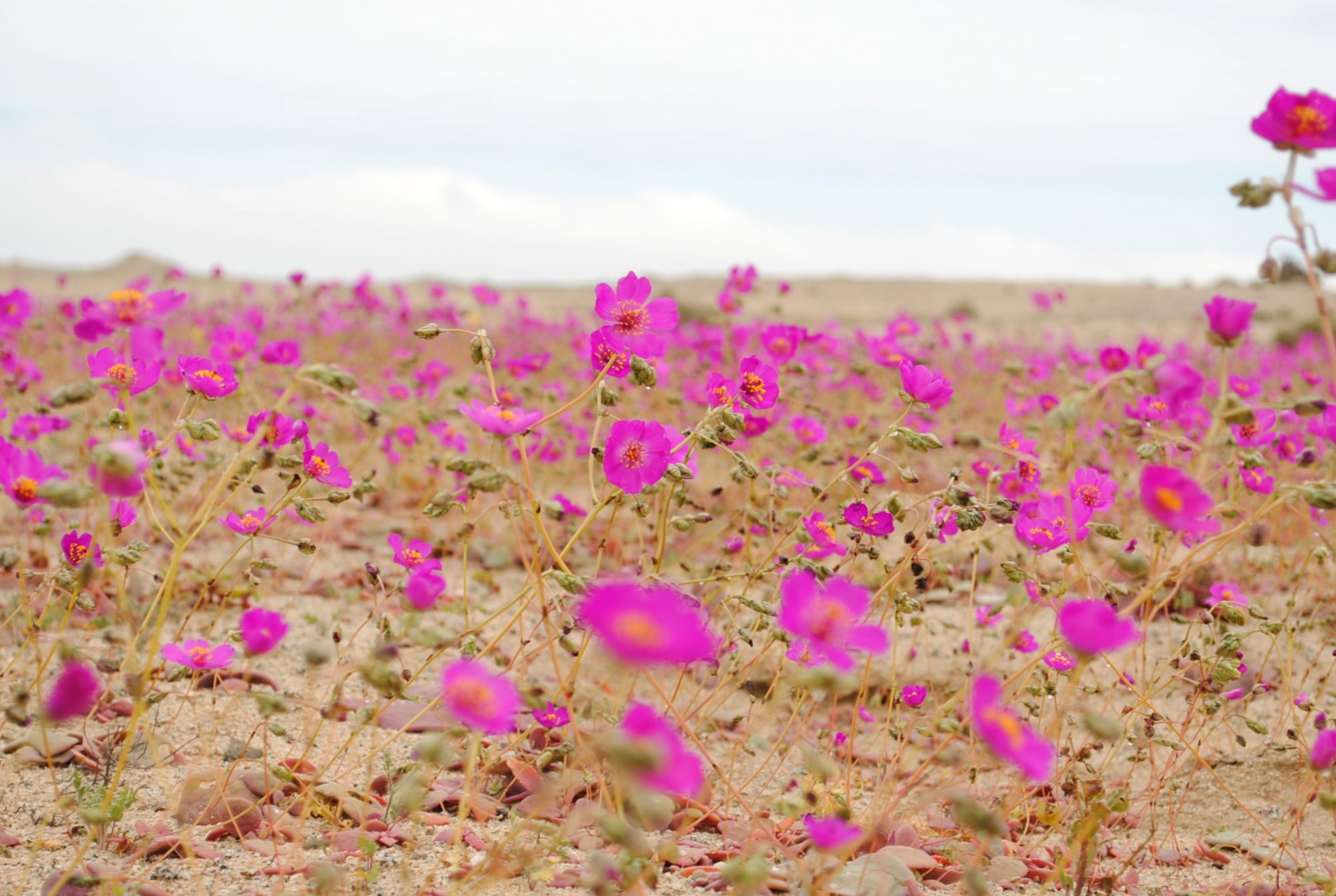
Seeds and bulbs lie dormant in the ground until an unusually wet year makes them germinate.
After such a wet year, the southern Atacama produces one of the world's great natural spectacles. In the desierto florido, or flowering desert, dormant seeds and bulbs burst into bloom between September and November, carpeting coastal valleys and hills from just south of Vallenar to just north of Copiapó. It happened in 2015, and it remains rare precisely because the rain that triggers it is so rare.