Attractions & Natural Wonders · Ecuador
Ecuador: Ten Attractions and Natural Wonders
The islands that gave us evolution, a colonial capital under a snow volcano, a turquoise lake in a crater, and a line painted on the ground where the world is cut in half
By Globeway Editorial · 30 September 2026
A small country of huge variety
Ecuador is one of the smallest countries in South America, but it packs in the Pacific coast, the Andes (a double row of them, with a valley of volcanoes between), the western Amazon, and — around 1,000 kilometres offshore — the Galápagos. It straddles the equator, which gives it its name, and it has more biodiversity per square kilometre than almost anywhere. It is also compact and cheap to travel, on a dollarised economy.
The ten below run down the Andean spine, with the Galápagos as the great outlier. There are no real seasons on the equator, just wetter and drier months that vary by region; the highlands are cool year-round.
1. The Galápagos Islands
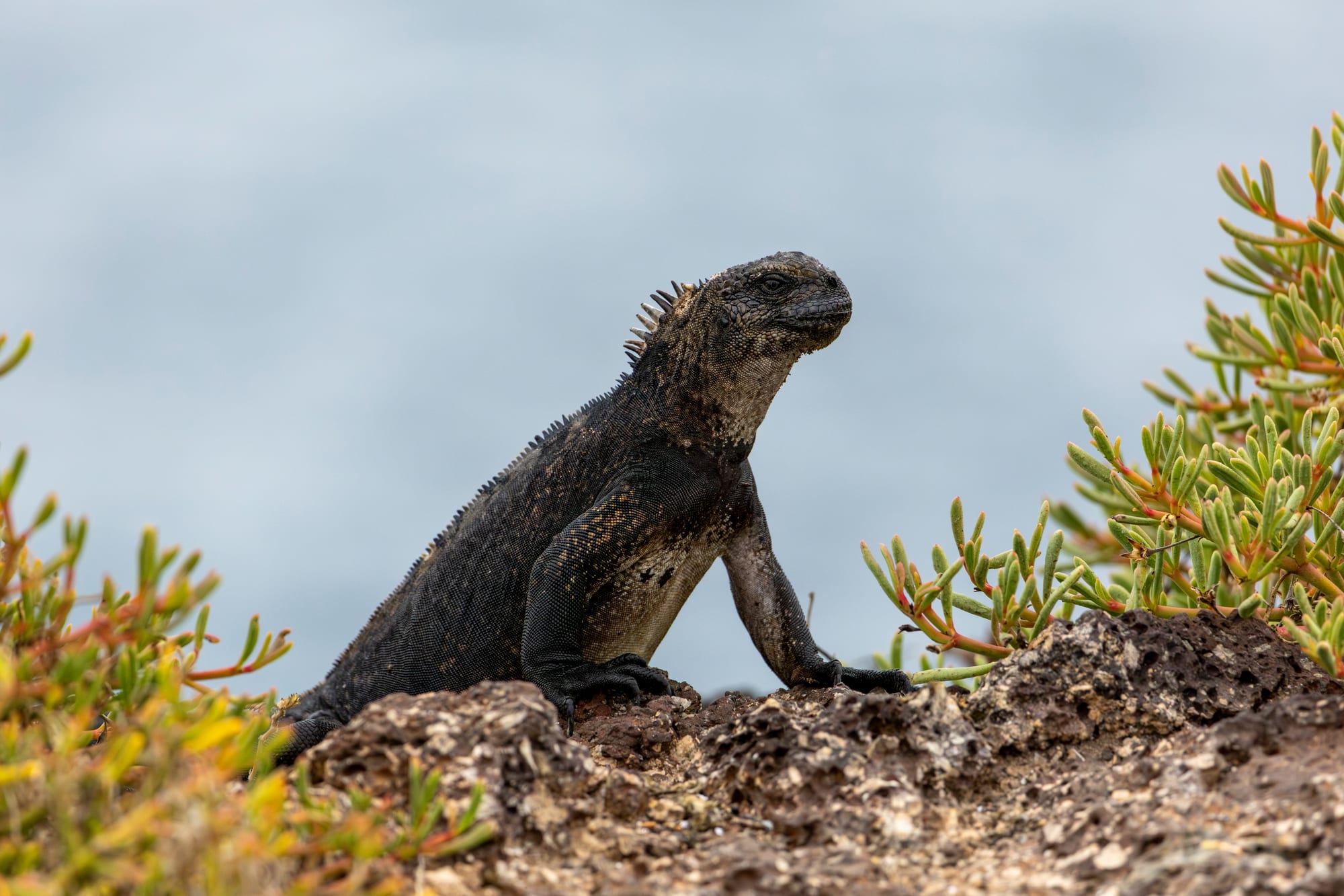
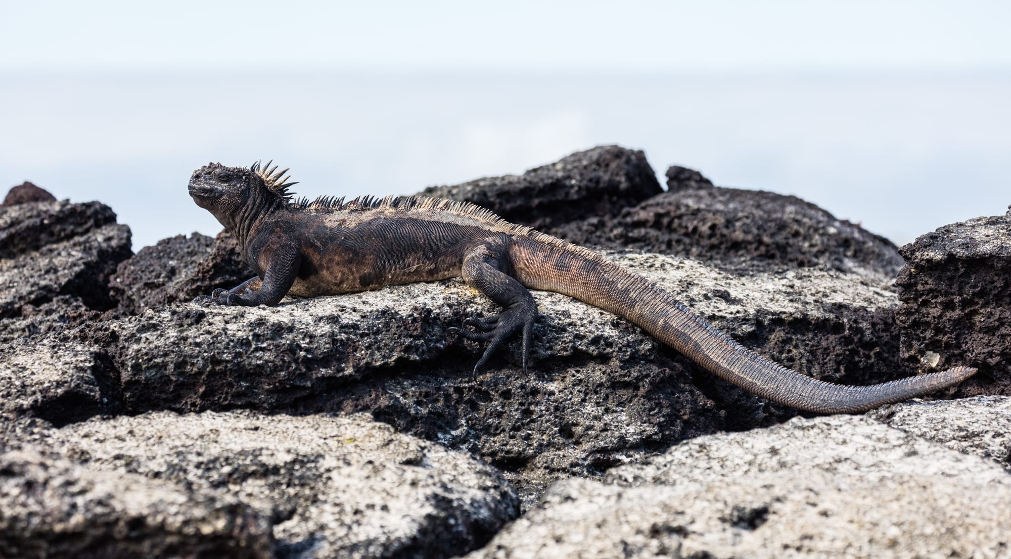
The Galápagos, a volcanic archipelago straddling the equator, are among the most famous wildlife destinations on Earth — the islands where the mix of isolation and different conditions produced giant tortoises, marine iguanas, flightless cormorants, and Darwin's finches, and where, on the Beagle voyage, Charles Darwin gathered the observations behind natural selection. Animals here are almost absurdly tame.
Visitors see them on a live-aboard cruise or by staying on Santa Cruz, San Cristóbal, or Isabela, the three most populated islands, and taking day trips. It is a national park and a UNESCO World Heritage Site, with strict rules, guides, and fees.
2. Quito
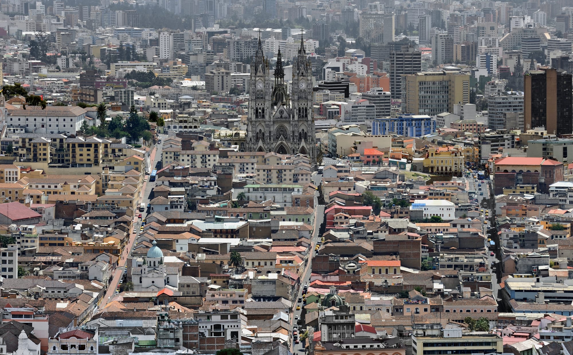
Ecuador's capital sits in a narrow Andean valley at 2,850 metres, hemmed by volcanoes. Its historic centre — the first site, with Kraków, ever inscribed by UNESCO — is a tight grid of whitewashed houses, cobbled streets, and a extraordinary density of churches, the gilded interior of La Compañía among the most lavish in the Americas. The towers of the Basílica del Voto Nacional, 83 metres high, and the TelefériQo cable car up the slopes of Pichincha both give sweeping views.
The equator monuments at Mitad del Mundo are half an hour north.
3. Cotopaxi and the Avenue of the Volcanoes
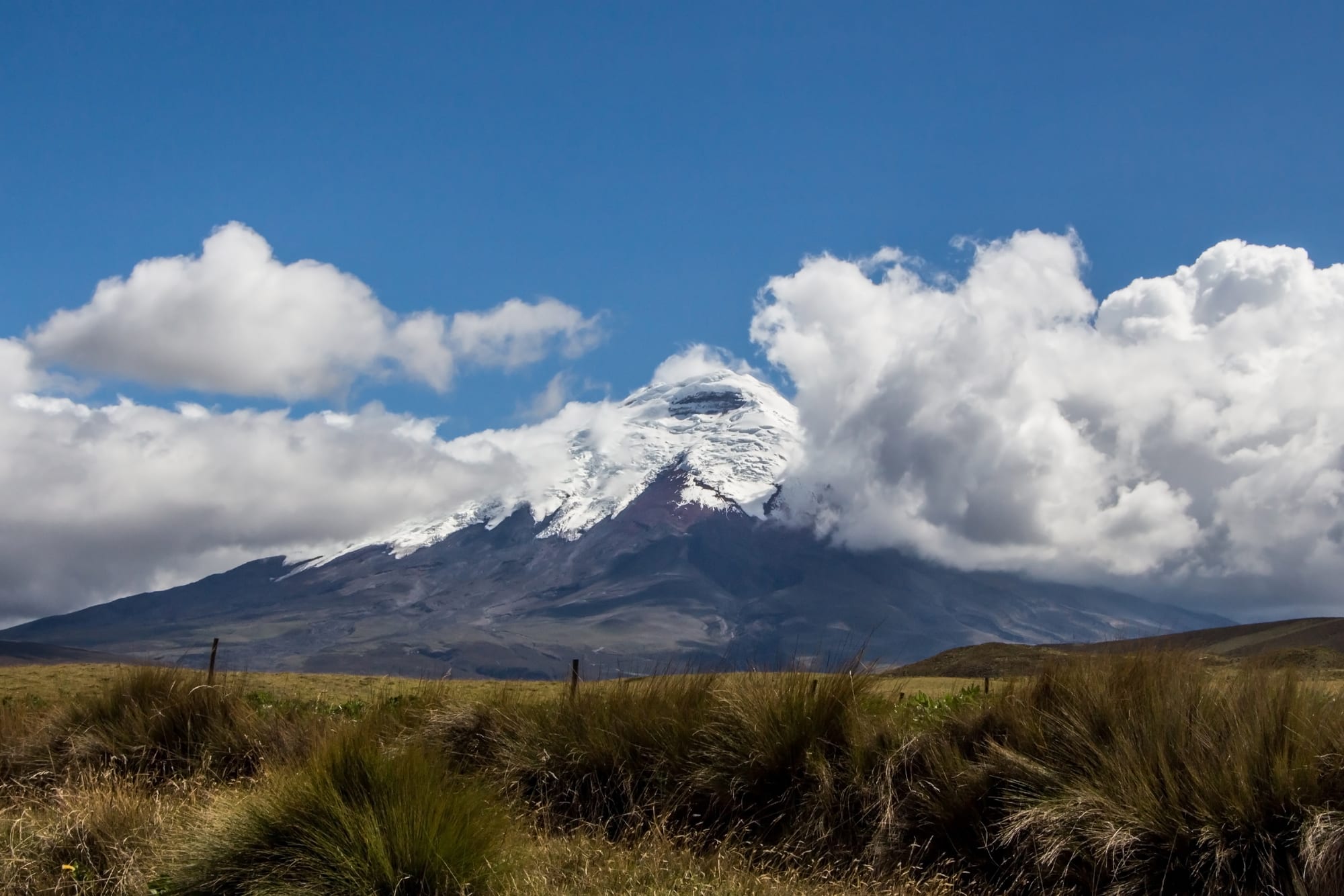
The valley running south from Quito is lined with snow-capped volcanoes — a stretch long known as the "Avenue of the Volcanoes". Its centrepiece is Cotopaxi, a symmetrical glacier-clad cone in a national park of windswept páramo grassland. A track climbs to a car park at 4,600 metres, just below the José Ribas climbers' refuge at 4,864; the summit is a serious glacier climb.
Cotopaxi is genuinely active — it erupted as recently as 2015 and 2022–23 — and access can be restricted.
4. Quilotoa
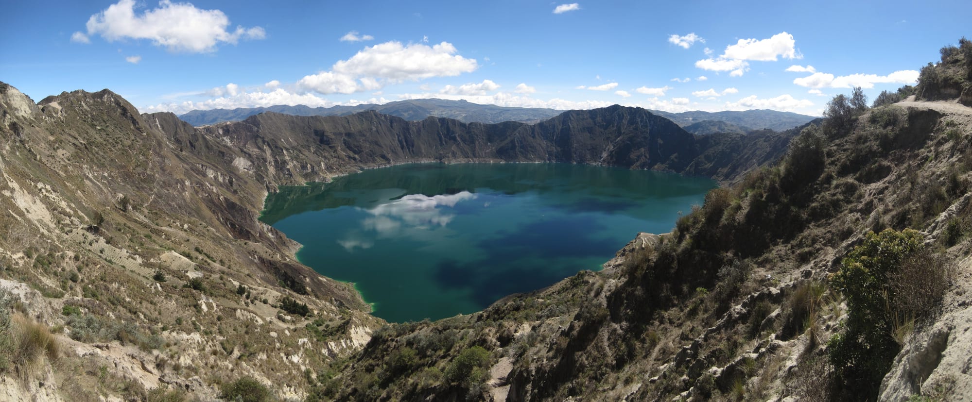
Quilotoa is a three-kilometre-wide caldera, formed by a catastrophic eruption about 800 years ago and now filled by a lake some 250 metres deep, its dissolved minerals giving it a greenish colour. A steep path drops from the rim village to the shore, and the climb back up, from a rim close to 3,900 metres, is hard work.
A hike right round the crater rim takes four to five hours, and walking routes link the lake with villages through Andean farmland and páramo.
5. Otavalo market
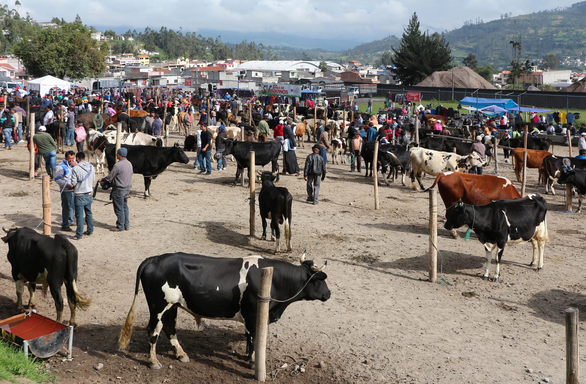
Two hours north of Quito, Otavalo has one of the best-known Indigenous markets in South America. The Kichwa-speaking Otavaleños have been renowned weavers and traders for centuries, their ponchos, blankets, and scarves sold far beyond Ecuador; on Saturdays the market swells to fill much of the town, with a separate livestock market as well.
Around Otavalo: the Peguche waterfall, the crater lakes of Cuicocha and Mojanda, and the leather town of Cotacachi.
6. Mitad del Mundo (the equator)
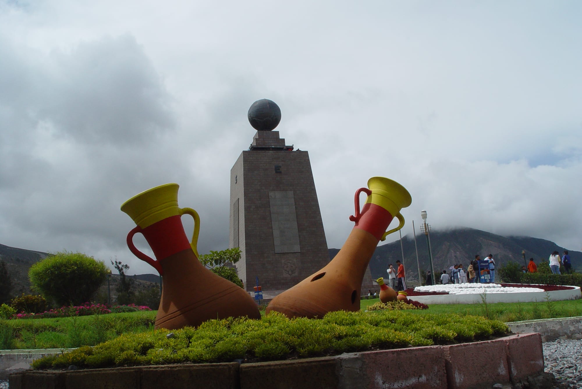
Just north of Quito, the "Middle of the World" complex has a 30-metre monument and a painted line where an 18th-century French geodesic mission calculated the equator to run — a chance to stand with a foot in each hemisphere. GPS has since shown the true line to lie about 240 metres to the north. The smaller, quirkier Intiñan museum nearby also claims the line, and its guides perform equator "tricks" such as water draining in opposite directions and eggs balanced on end.
It is touristy and good fun, an easy half-day from the capital.
7. Baños
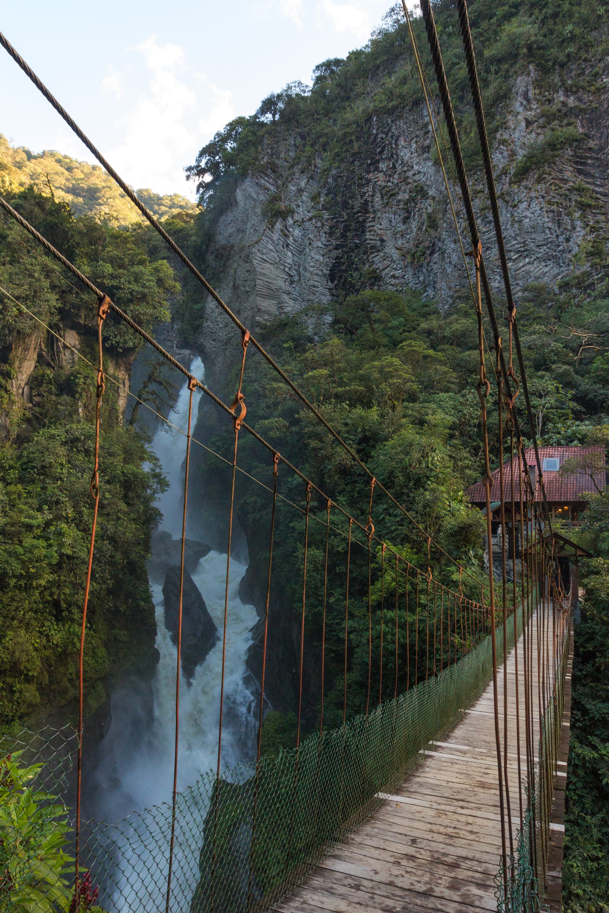
Baños de Agua Santa, on the eastern slope of the Andes where the mountains drop toward the Amazon, is known as the "Gateway to the Amazon" and is a major centre for outdoor adventure. Beyond it, the Pastaza valley runs past a series of waterfalls to the thundering Pailón del Diablo, Ecuador's largest. The town sits on the foothills of the active Tungurahua volcano and takes its name from its hot springs.
8. The Devil's Nose railway
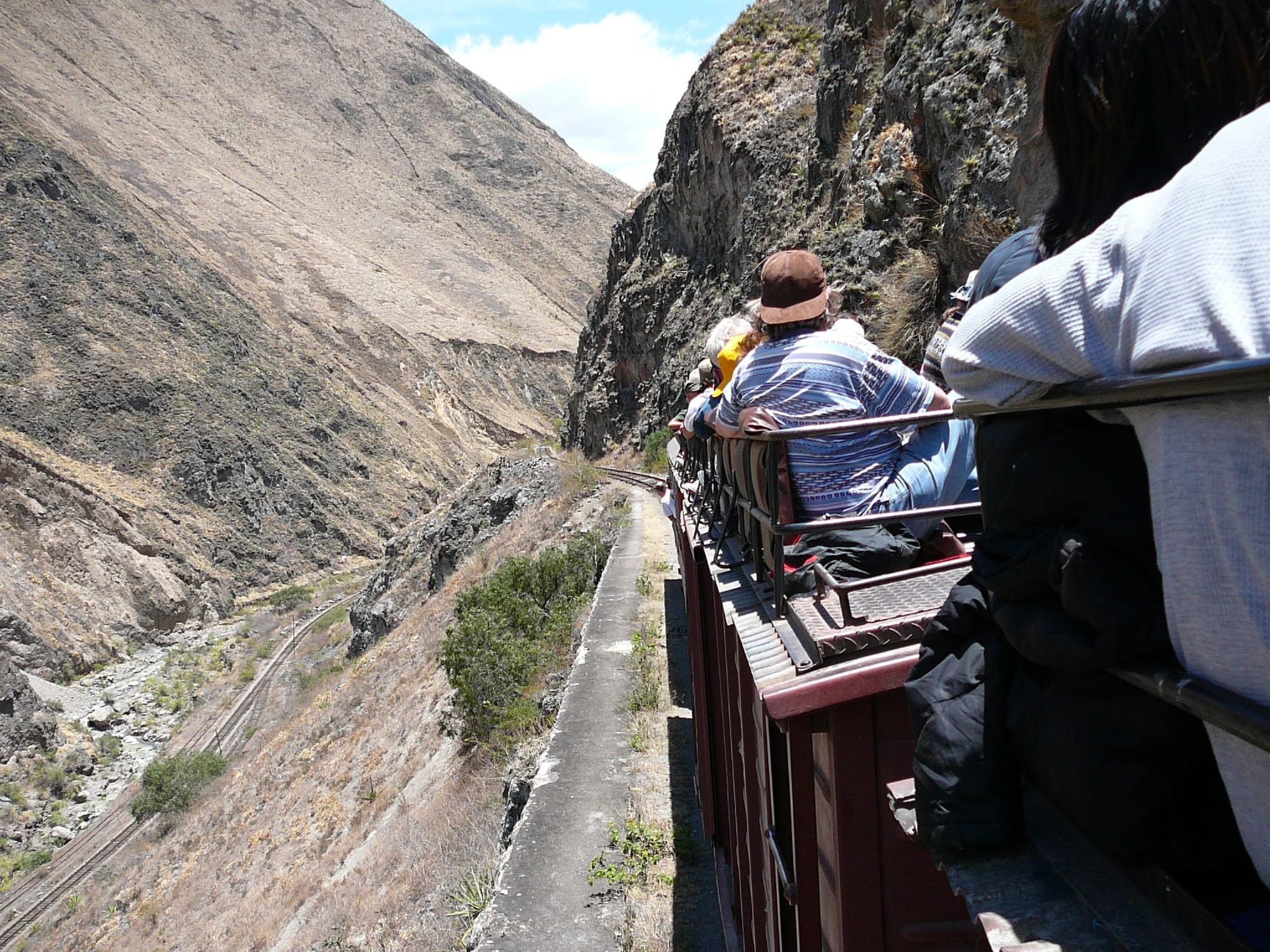
The Guayaquil–Quito railway, an extraordinary feat of engineering built between 1897 and 1908, includes the Nariz del Diablo, a near-vertical mountainside descended by a zigzag of switchbacks where the train reverses to lose height. A short tourist ride runs the switchbacks between Alausí and Sibambe. All of Ecuador's train services were suspended in 2020, but this route has since reopened and is listed as running in 2026.
Even without the train, the viewpoint over the switchbacks is dramatic.
9. Chimborazo
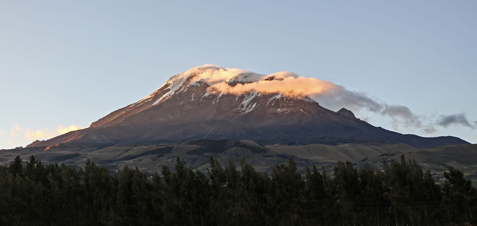
Chimborazo, an inactive volcano in the central Andes, is Ecuador's highest peak — and, because the Earth bulges at the equator, its summit is the point on the planet's surface farthest from the centre, and the closest to outer space. Its lower slopes are a wildlife reserve where vicuña, llama, and alpaca graze the páramo, and two climbers' huts stand high on the mountain, at 4,850 and 5,000 metres.
The summit is a demanding glacier climb; the reserve and the first refuge are open to anyone acclimatised.
10. Cuenca
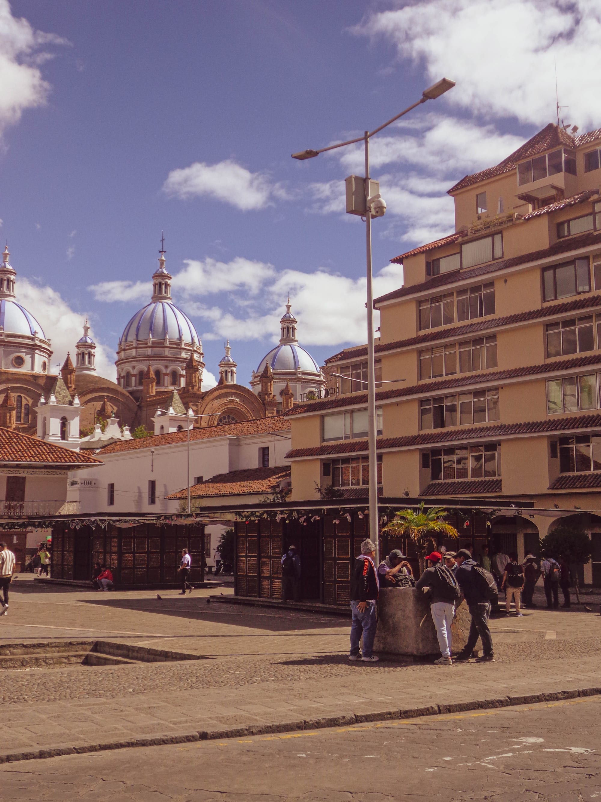
Cuenca, in the southern Andes, is often called Ecuador's most beautiful city — a UNESCO World Heritage Site of cobbled streets, red-tiled roofs, riverside walks, and the blue-domed "new" cathedral. It is a centre of craft (ceramics, jewellery, and the misnamed "Panama" hat, which is actually Ecuadorian and woven near here) and has drawn a sizeable community of foreign residents.
Nearby are the Inca and Cañari ruins of Ingapirca — the largest in Ecuador — and the páramo lakes of Cajas National Park.
Ecuador is small and easy: a week of highlands from Quito covers Cotopaxi, Quilotoa, Otavalo, Baños, and Cuenca, with the Amazon a short flight east. The Galápagos are a separate trip of at least four or five days, usually added on.