Daily Life
Why do some flights to Asia fly over the Arctic?
Few pass directly over the pole, but many cross the Arctic, because on a round planet the shortest path between two northern cities curves towards the top of the world.
By Globeway Editorial · 2 November 2026
The short answer
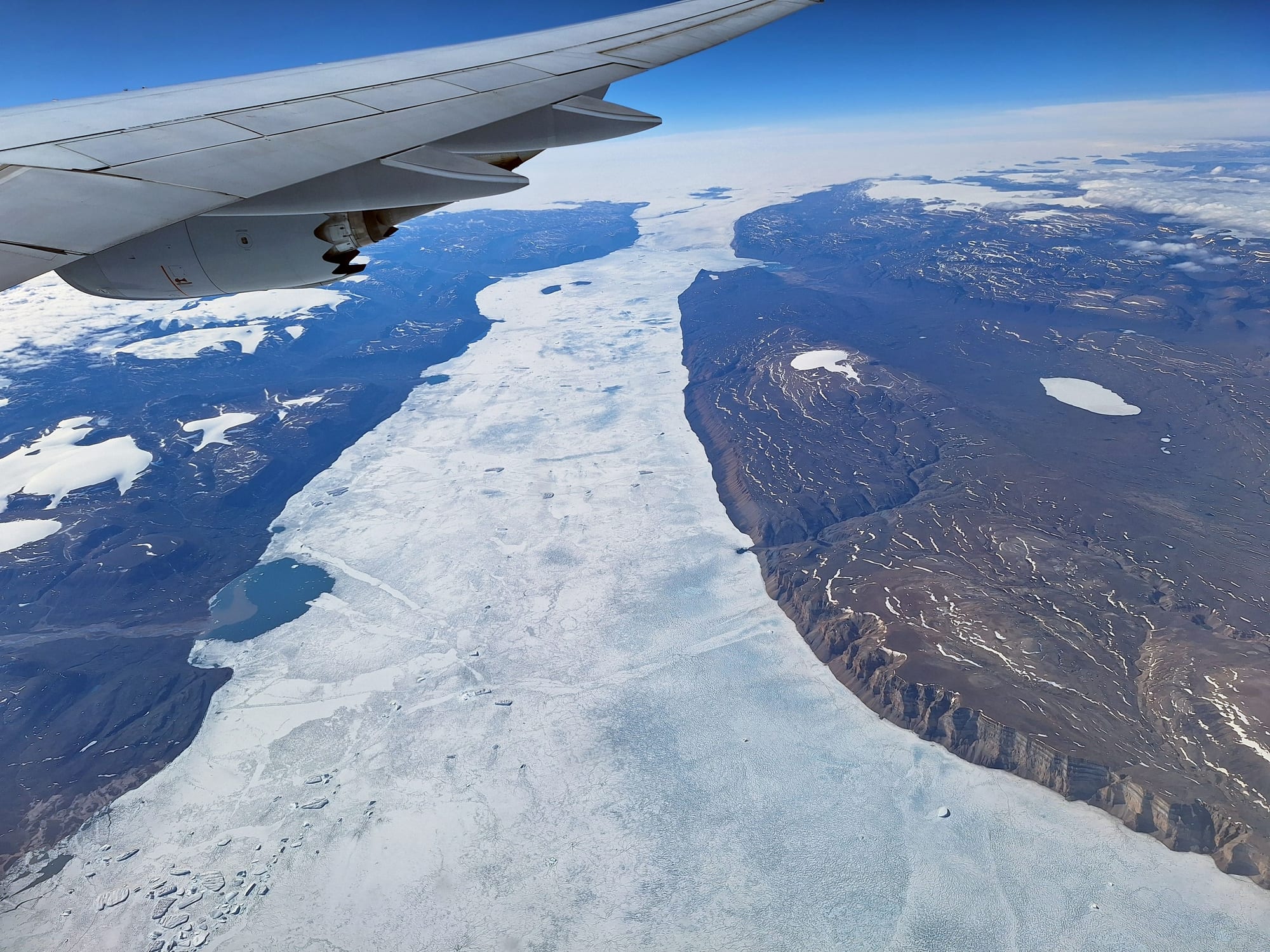
Most flights to Asia do not pass over the North Pole itself, but many from North America, and some from Europe, do cross the Arctic. The reason is the shape of the Earth. On a sphere, the shortest path between two points is not the straight line drawn on a flat map but an arc of a great circle, a circle whose centre is the centre of the Earth. For cities far apart in the Northern Hemisphere, that arc bows north, often over Alaska, Canada, Greenland or Siberia.
Flat maps hide this. The familiar Mercator map stretches the far north and cuts off the poles entirely, so a route over the Arctic looks like a huge detour when it is actually a shortcut. Which routes airlines really fly also depends on aircraft range, safety rules and politics: during the Cold War, and again since 2022, closed airspace has pushed some flights onto long Arctic detours.
Straight lines on a curved planet
A great circle is the largest circle that can be drawn on a sphere, and the equator is one. The shorter arc of a great circle between any two places is the shortest possible path between them across the surface. On a globe this is easy to see: a string stretched tight between two distant northern cities bows towards the pole rather than following a line of latitude. Airliners and ships use great circles as close approximations of the shortest route, although the Earth is not a perfect sphere.
The Mercator projection, first presented by the Flemish mapmaker Gerardus Mercator in 1569, became the standard map for navigation in the 18th century because it shows a course of constant compass bearing as a straight line. That is useful at sea, but it is not the shortest route. To keep those lines straight, the projection inflates the size of land the farther it lies from the equator, so that Greenland and Antarctica appear far larger than they really are, and it can never show the poles at all. On such a map a great-circle route has to bend into an arc, so the shortest path looks like the long way round.
Navigators solved the problem with a different kind of chart, called gnomonic, on which every straight line is a great circle. They drew the route there and then copied it, point by point, onto the Mercator chart they steered by.
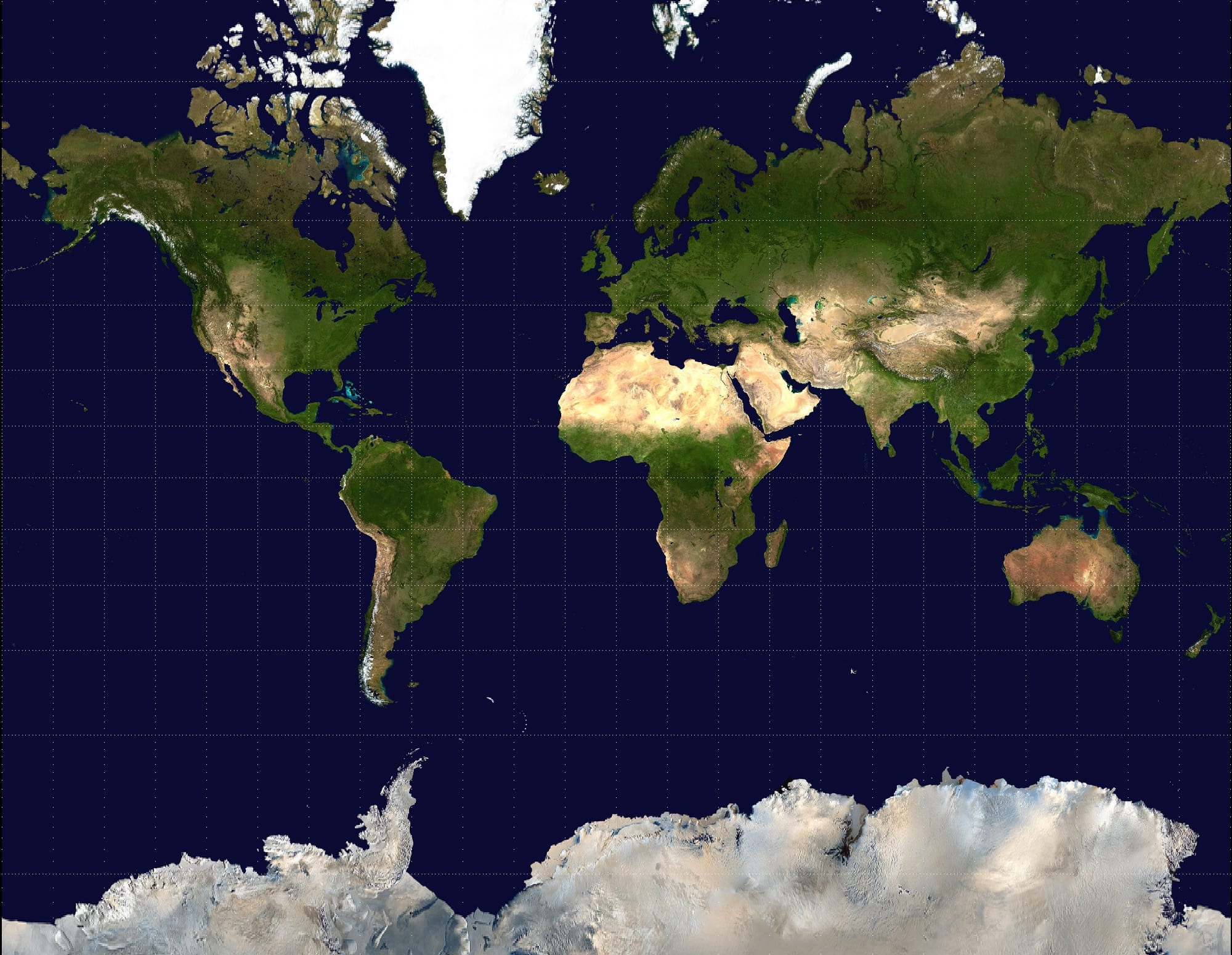
On a Mercator map Greenland looks as big as Africa, and the Arctic, where so many long-haul routes run, is stretched far out of proportion.
Why the pole itself is usually just off to one side
A great circle passes directly over the pole only when the two cities lie on roughly opposite sides of it. Most pairs do not, so their routes cut across the Arctic some distance from the pole. American aviation rules define the North Polar area as everything north of 78 degrees north, beyond northern Alaska and most of Siberia. Routes between Asian and North American cities now regularly run through the Arctic, and even some flights from the Middle East use it: Emirates and Qatar Airways flights from Dubai and Doha to San Francisco, Seattle and Los Angeles come within a few degrees of latitude of the pole.
Flying there takes special preparation. Jet fuel freezes at between −40 and −50°C (−40 and −58°F), and the long, intense cold of a polar flight can chill the fuel towards that point; if it gets close, crews must change altitude. The US Federal Aviation Administration's polar rules also require cold-weather suits on board, special communications, chosen diversion airports in the Arctic, and plans for looking after passengers stranded there.
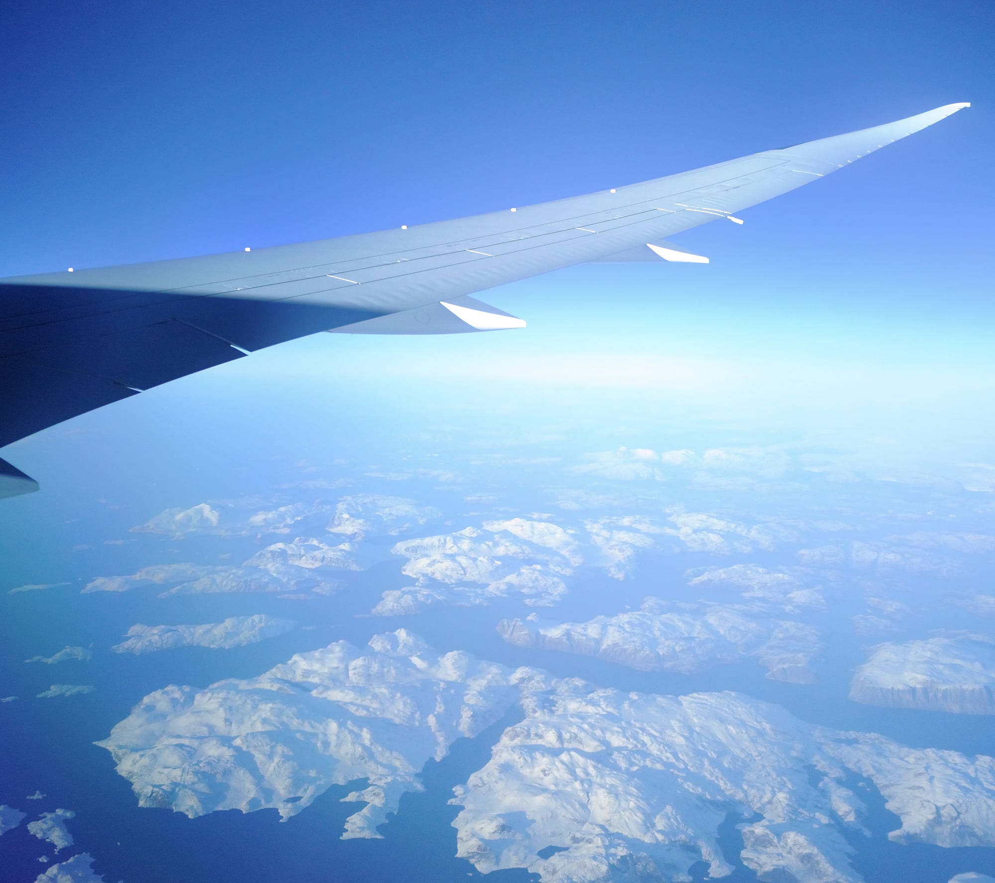
The great-circle route from northern Europe to the west coast of the United States crosses Greenland, far north of where a flat map would put it.
How politics drew the polar map
Polar flying began as a feat of endurance. In June 1937 the Soviet pilot Valery Chkalov and his crew flew non-stop from Moscow over the North Pole to Vancouver, Washington, covering 8,811 kilometres (5,475 miles) in 63 hours. Regular passenger flights followed in the 1950s, and for decades the Cold War shaped them. Western airlines flying from Europe to East Asia were not allowed to cross the Soviet Union or China, so they either went via the Middle East or flew over Greenland and Arctic North America with a refuelling stop in Anchorage, Alaska. In 1983 Air France, British Airways, Japan Air Lines, KLM, Lufthansa, Sabena and SAS were all flying between Japan and western Europe by way of Anchorage.
1937 | Valery Chkalov flies non-stop from Moscow over the North Pole to Vancouver, Washington. 1954 | SAS begins the first commercial polar service, between Los Angeles and Copenhagen. 1957 | SAS flies from Europe to Tokyo via Anchorage. 1960 | Air France operates the first commercial jet service over the North Pole, Tokyo–Anchorage–Hamburg–Paris. 1983 | Finnair flies Tokyo–Helsinki non-stop over the polar route, with no technical stop. 1998 | Russia opens four cross-polar routes; Cathay Pacific's first non-stop New York–Hong Kong flight crosses the Arctic. 2022 | Airspace bans after Russia's invasion of Ukraine push many Europe–Asia flights onto other routes.
The end of the Cold War opened shorter routes. By the mid-1990s airlines could fly between Europe and Asia across the former Soviet south and over China, and in 1998 Russia opened four cross-polar routes, called Polar 1 to
- On 7 July 1998 Cathay Pacific's flight from New York became the first
arrival at Hong Kong's new airport at Chek Lap Kok, and appears to have been the first non-stop flight over the Arctic and Russian airspace by a non-Russian airline. It took 16 hours.
Range mattered as much as politics. For decades twin-engined jets had to stay within about an hour's flying time of an airport, which kept them off remote routes. Under the safety standards known as ETOPS, this has been extended to 180 minutes and more. Today's polar routes are flown by long-range aircraft such as the Boeing 777 and 787 and the Airbus A350, with ranges of around 13,000 kilometres (8,100 miles) or more.
The map changed again in 2022. After Russia's invasion of Ukraine, the United Kingdom, the United States and the European Union banned Russian airlines from their airspace, and Russia closed its own airspace to their airlines in return. Western airlines flying between Europe or the United States and East Asia began to route around Russia. Japan Airlines' London–Tokyo service was rerouted over Iceland, Greenland, Canada, the Arctic Ocean and Alaska, adding about four hours to the journey: a return, in effect, to the polar detours of the Cold War.