Attractions & Natural Wonders
Why does one side of a mountain range get far more rain than the other?
Moist wind forced up a mountain cools and drops its water on the near side, then sinks, warms and dries on the far side, leaving a rain shadow that is drier but rarely rainless
By Globeway Editorial · 2 November 2026
The short answer
When a steady wind carries moist air from the sea into a mountain range, the air is forced upwards. Rising air expands and cools, and cool air cannot hold as much water vapour, so the moisture condenses into cloud and falls as rain or snow on the slopes facing the wind, the windward side. By the time the air crosses the crest, much of its water is gone. As it sinks down the far side, the leeward side, it is squeezed by rising air pressure, warms up and dries out further, so clouds evaporate instead of forming. The dry zone behind the mountains is called a rain shadow.
"None" overstates it, though. Most rain shadows are much drier, not rainless: a lee-side town often gets a half, a third or even a fifth of the rain that falls a short distance away on the windward slopes. Only where a rain shadow combines with other drying forces does rain almost vanish, as in Chile's Atacama Desert, where some weather stations have never recorded rain at all.
Wind, water and a wall of rock
The process begins with wind that blows mostly from one direction. Between about 30 degrees north and south of the equator, the trade winds blow mainly from the northeast in the Northern Hemisphere and from the southeast in the Southern. Between about 30 and 60 degrees, the westerlies blow mainly from the southwest in the north and the northwest in the south. These prevailing winds pick up moisture evaporated from oceans and large lakes and carry it inland.
When that air meets a mountain range it has nowhere to go but up, a process called orographic lift. Air pressure falls with height, so the rising air expands and cools, and its relative humidity can climb to 100 per cent. Cloud forms, and if the range is tall and wide enough, most of the moisture falls out on the windward side before the air ever reaches the top. This is why some of the wettest places on Earth sit on windward slopes. Mount Waiʻaleʻale on the Hawaiian island of Kauai has averaged more than 9,500 mm (373 in) of rain a year since 1912, and the leeward side of the island lies in its rain shadow.
Why the air comes down warmer than it went up
The far side is not simply dry; it is often warm and dry, and the reason is a neat piece of physics. Rising air cools at different rates depending on whether cloud is forming in it. Dry air cools by about 10 °C for every 1,000 metres it rises (5.5 °F per 1,000 feet). Saturated air, in which water is condensing, cools more slowly, at a rate that varies with its temperature but is often between about 4 and 9 °C per 1,000 metres, because condensation releases heat into the air.
So on the way up, after cloud forms, the air cools slowly while dropping its moisture as rain. On the way down the far side it has lost that water, so it warms at the faster dry rate the whole way. It arrives at the bottom warmer than air at the same height on the windward side, and with its relative humidity sharply reduced. Because the water has fallen out, the heat it released cannot be taken back. This warm, dry downslope wind is called a foehn in the Alps, and it can raise temperatures by as much as 14 °C (25 °F) within hours. East of the Rocky Mountains it is the chinook, which the Blackfoot people call the "snow eater". Chinooks have lifted winter temperatures from below −20 °C (−4 °F) to 10 to 20 °C (50 to 68 °F) for hours or days at a time.
Rainforest and desert, a few kilometres apart
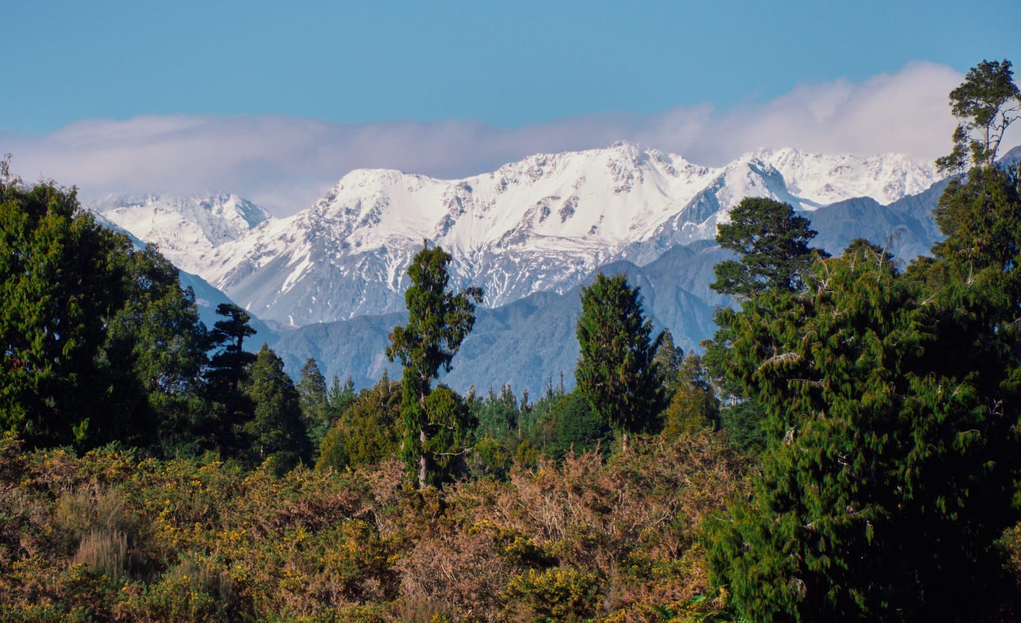
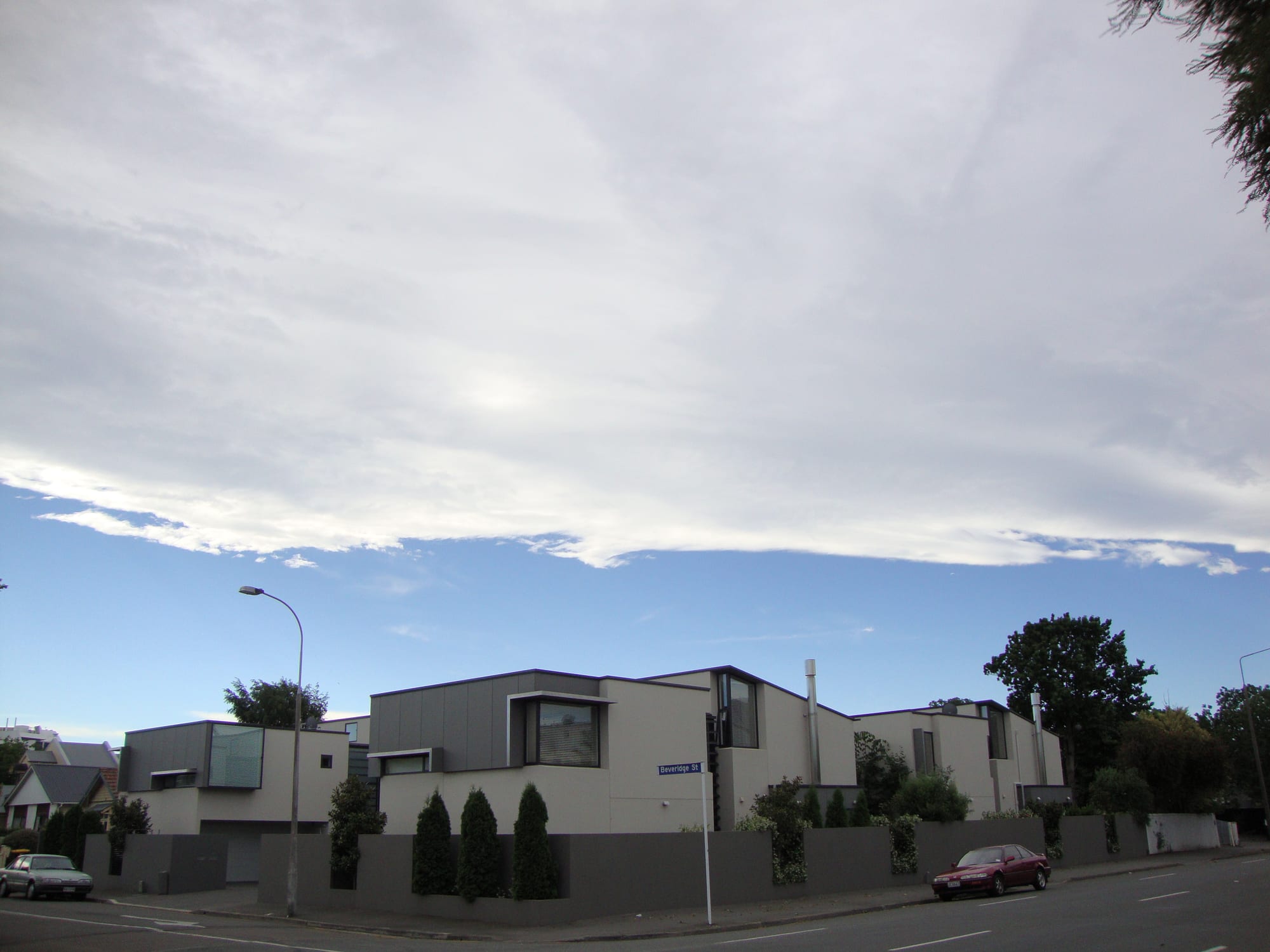
The contrasts can be startling. On New Zealand's South Island, the Southern Alps catch moist westerly air from the Tasman Sea, and the western side receives about 6,300 to 8,900 mm (250 to 350 in) of rain and snow a year, enough to feed large glaciers. Scarcely 50 km (31 miles) east of the snowy peaks, yearly rainfall drops below 760 mm (30 in), and in places below 380 mm (15 in). In Canterbury, on the dry side, a hot nor'wester wind often arrives under a band of high white cloud called the nor'west arch, framed by a clear strip of blue above the mountains.
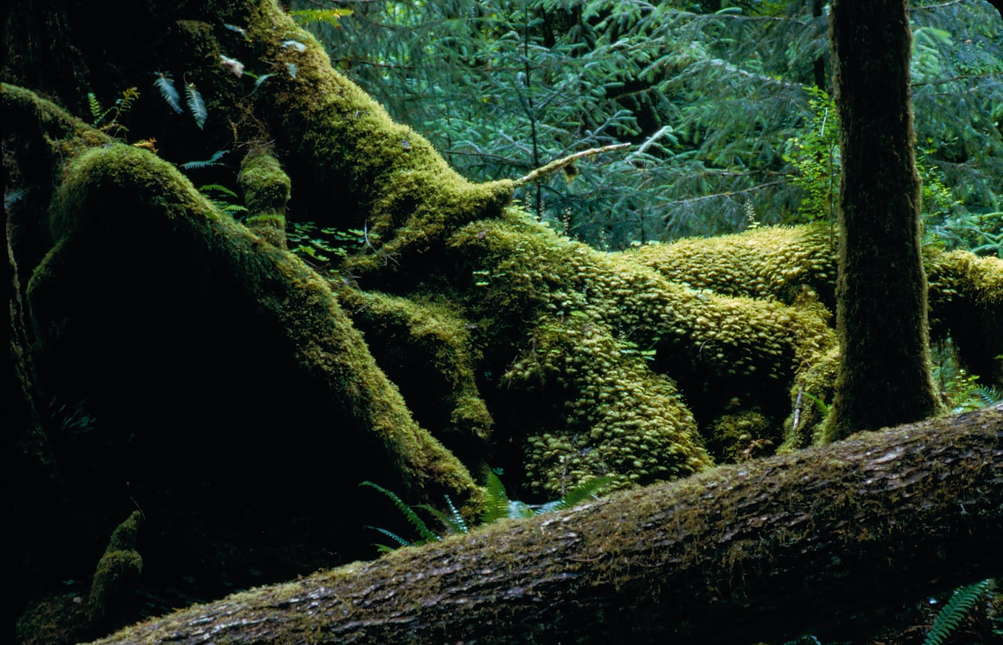
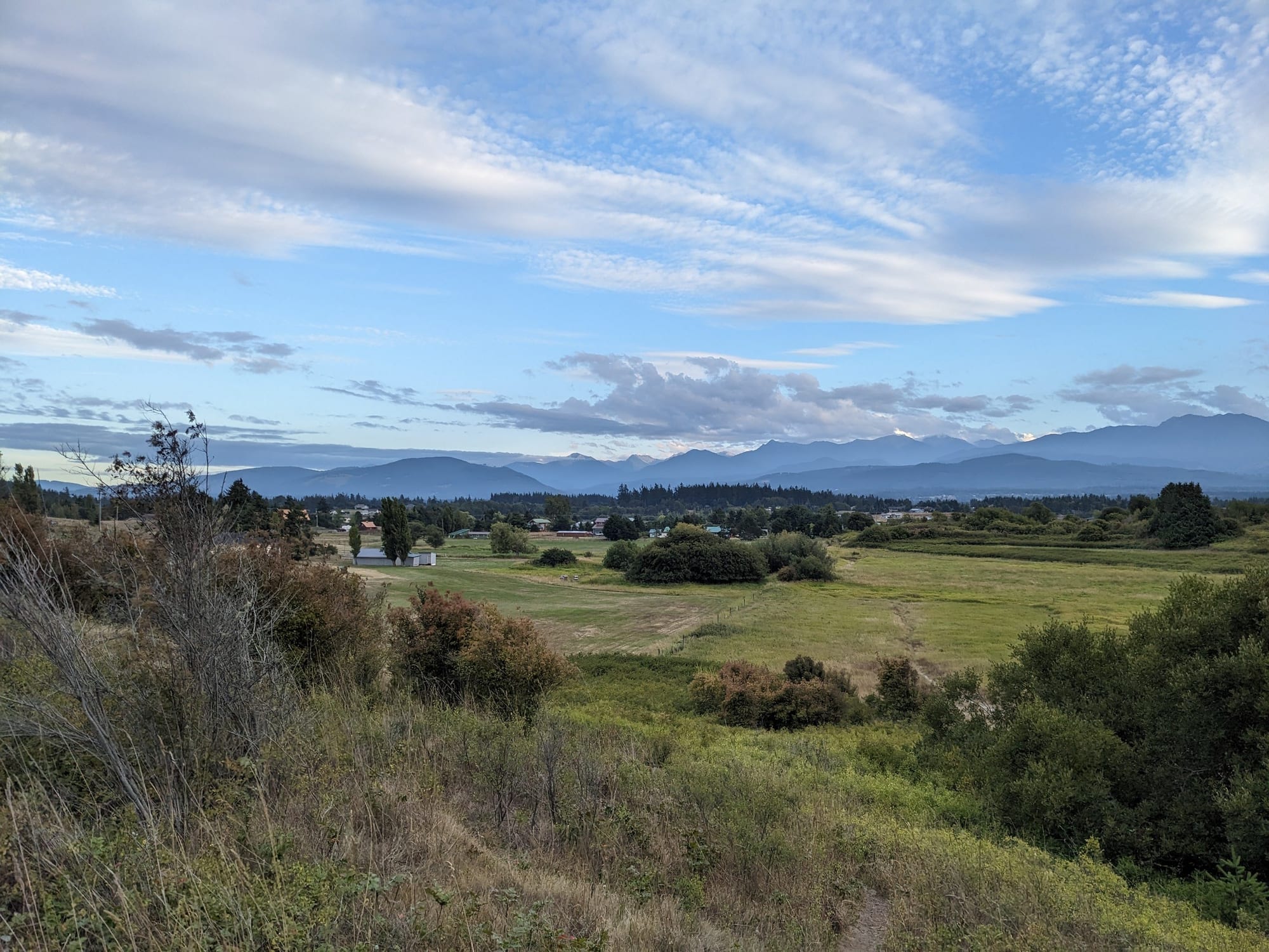
In Washington State, the Olympic Mountains do the same to Pacific storms. The Hoh Rainforest on their western flank, one of the largest temperate rainforests in the United States, averages about 3,600 mm (140 in) of precipitation a year. In the Dungeness Valley around Sequim, on the northeastern side, the average is 250 to 380 mm (10 to 15 in).
Europe has its own versions. Bergen, west of the Scandinavian Mountains, gets about 2,250 mm (89 in) a year, while Oslo, east of them, gets about 760 mm (30 in). In Scotland, Aberdeen on the east coast receives around a third of the rainfall of Fort William or Skye in the west. In Myanmar, the central plains behind the Arakan Mountains receive about 750 mm (30 in) of rain, against up to 5.5 metres (220 in) on the Rakhine coast.
When a rain shadow becomes a desert
Rain shadows typically hold shrub-steppe, dry scrubland or desert. The most extreme deserts form where the shadow is stacked on top of other drying influences. The Atacama, the driest non-polar desert in the world, is blocked from moisture by the Andes to its east, while the cold Humboldt Current offshore keeps the air above it persistently stable. Periods of up to four years without rain have been recorded in its central sector.
Death Valley in California lies in the shadow of both the Pacific Coast Ranges and the Sierra Nevada, and its position well below sea level adds high pressure and dry conditions, making it the driest place in North America. The Gobi and the deserts of Central Asia sit behind the Himalayas and connecting ranges.
Which side is dry also depends on where the weather comes from. In Colorado, places west of the Continental Divide may receive as much as 1,000 mm (40 in) of precipitation a year, while Denver, to the east, gets only about 300 to 480 mm (12 to 19 in). But when storms swing up from the south instead of the west, the pattern can flip, bringing heavy snow or rain to the eastern side and little or none to the western slope.