Attractions & Natural Wonders · Lesotho
Why does Lesotho have the highest lowest point of any country on Earth?
Lesotho is the only country lying wholly above 1,000 metres, thanks to an uplifted plateau, a lid of hard lava and borders drawn by war.
By Globeway Editorial · 2 November 2026
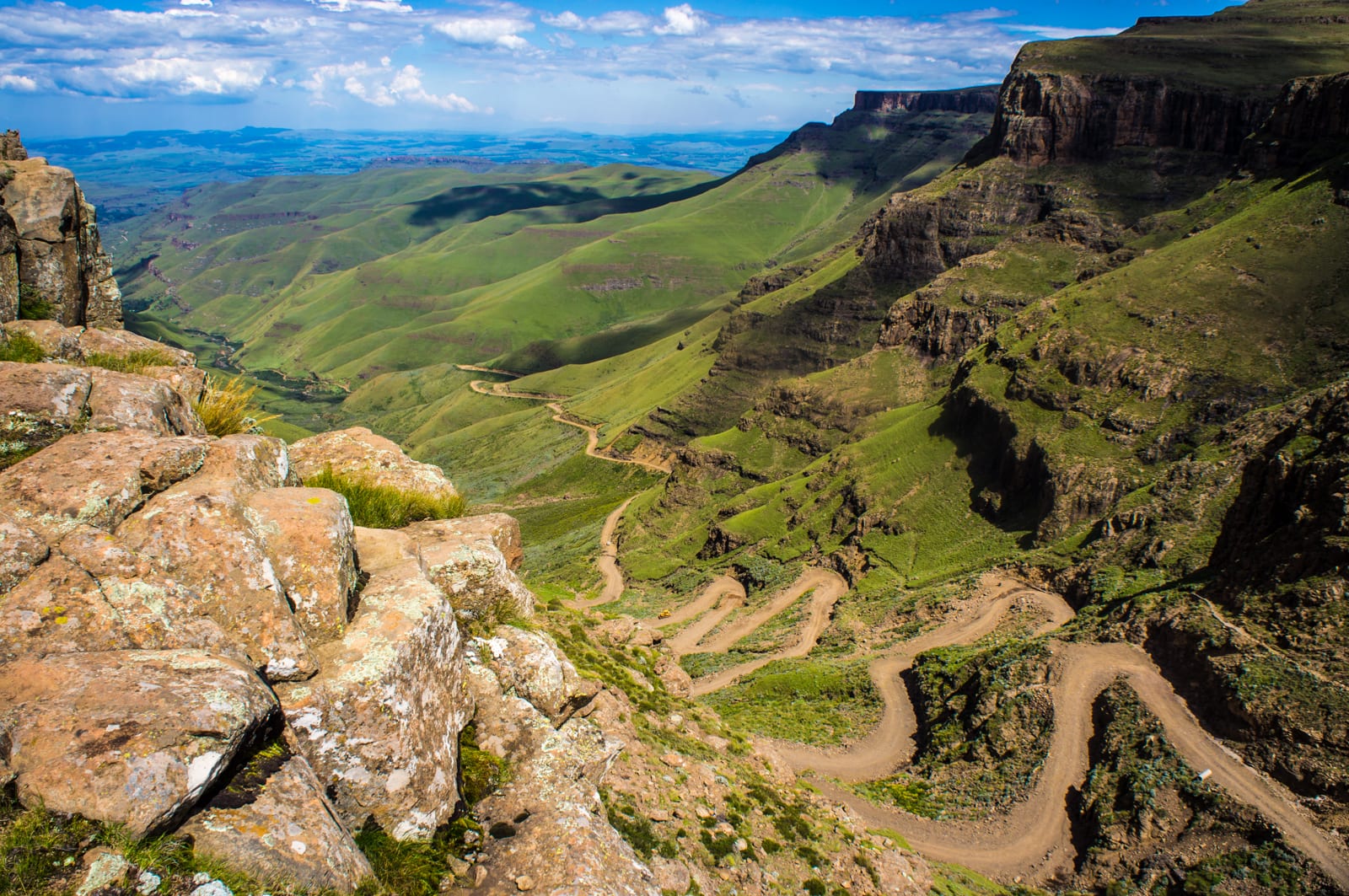
The short answer
Lesotho is the only independent country in the world that lies entirely above 1,000 metres (3,281 feet). Its lowest point, where the Makhaleng River meets the Orange, known in Lesotho as the Senqu, on the border with South Africa, is 1,400 metres above sea level, the highest lowest point of any country. More than 80 per cent of the kingdom lies above 1,800 metres. It is "the highest country" in that particular sense: there is nowhere in it that is low.
Three things made it so. Lesotho sits on the highest part of a vast southern African plateau that has been pushed upwards over the past 20 million years. That plateau is capped in Lesotho by a thick layer of hard lava that has resisted erosion. And in the 19th century the Basotho lost their western lowlands to Boer settlers, leaving a country made almost entirely of mountains. By other measures, other countries are higher, so the claim needs that qualifier.
Which kind of "highest"?
Height can be measured in several ways, and Lesotho wins only one of them. By summit, the record belongs to Mount Everest, on the border between Nepal and China, at 8,848.86 metres, while Lesotho's highest peak, Thabana Ntlenyana, stands at 3,482 metres. That is the highest mountain in southern Africa, but far from a world record. By the share of land at great height, Tajikistan outranks it: most of that Central Asian country lies above 3,000 metres.
What Lesotho has that no other country has is a floor. Most mountain nations, however lofty, also have low valleys or plains; Bhutan, in the Himalayas, falls to just 98 metres where the Drangme Chhu river crosses into India. Lesotho never drops below 1,400 metres.
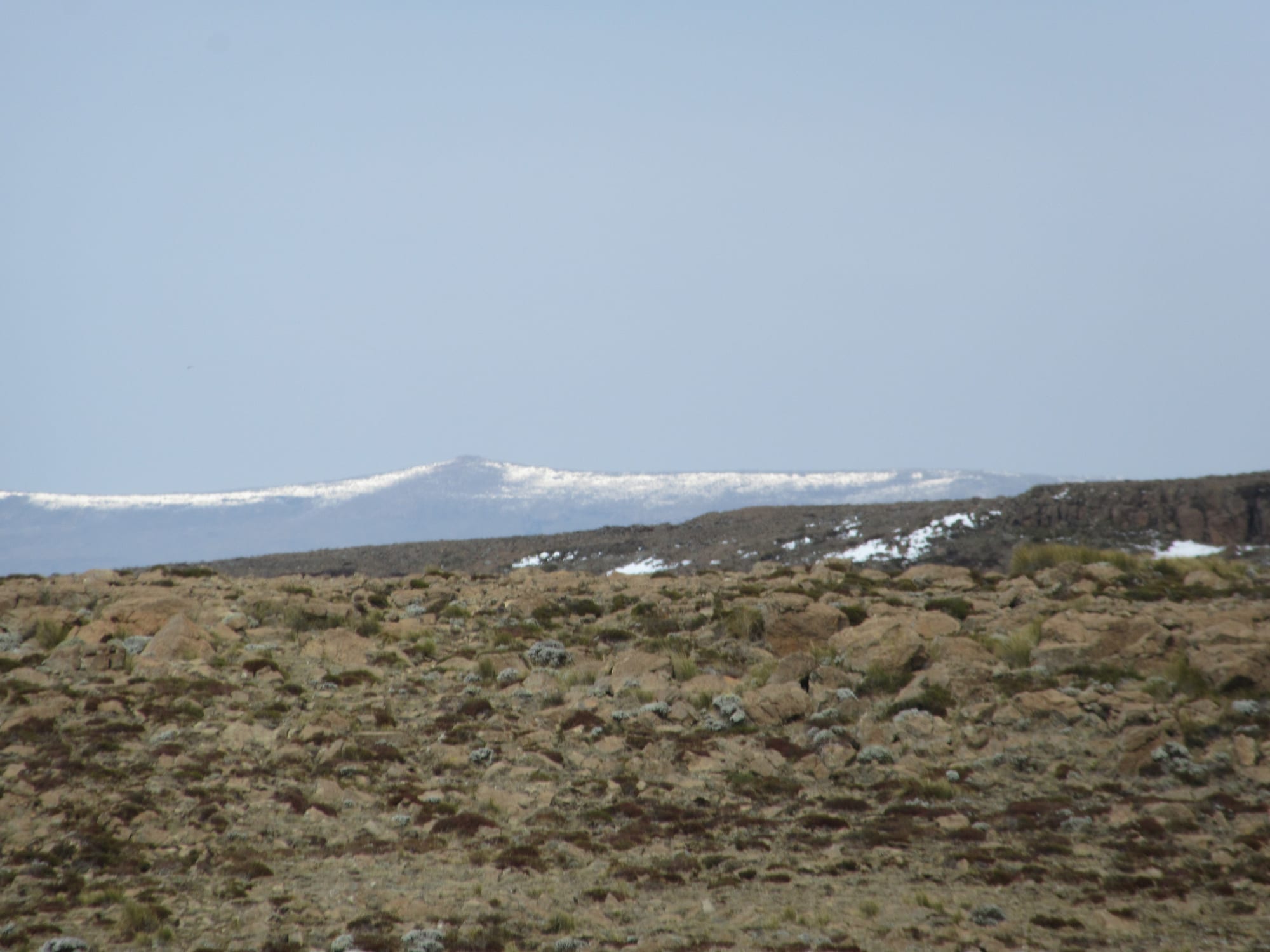
The headwaters of the Orange River rise near the peak; the river then runs west across southern Africa to the Atlantic.
A continent's edge, lifted and tilted
Lesotho lies along the Great Escarpment, the steep rim that encloses the central plateau of southern Africa. Its eastern section is the Drakensberg, known in Sesotho as the Maloti. The escarpment began as the walls of rift valleys, formed where the continental crust bulged and split as the southern part of the supercontinent Gondwana broke apart, a process that set Antarctica drifting away from southern Africa about 150 million years ago. Since then those walls have worn back inland from their original positions near the coast.
During the past 20 million years, southern Africa has been lifted massively, especially in the east, so that most of the plateau now lies above 1,000 metres despite extensive erosion. The plateau is tilted: highest in the east and sloping gently down to the west and south. The edge of the eastern escarpment usually stands above 2,000 metres, and it reaches its greatest height, over 3,000 metres, exactly where it forms the border between Lesotho and the South African province of KwaZulu-Natal. Lesotho, in other words, occupies the highest corner of an already high plateau.
A lid of ancient lava
The rock helps to explain why the mountains have stayed so high. Lesotho's bedrock belongs to the Karoo Supergroup, mostly shale and sandstone. The youngest of those sediments, the Clarens sandstone, was laid down under desert conditions about 200 million years ago. On top of it lies a thick layer of basalt, solidified lava that erupted around 180 million years ago. Thabana Ntlenyana and the highlands around it are made of this flood basalt, which forms a high alpine plateau up to about 3,400 metres.
Where the escarpment is built of softer sedimentary rock, along the border between KwaZulu-Natal and the Free State, it has a rounded, softer look. In Lesotho, its hard, erosion-resistant upper surfaces give it a rugged face of steep-sided blocks and pinnacles, the source of a local name for the range, "barrier of up-pointed spears". The top of the escarpment is almost table-flat; what makes the Lesotho highlands so mountainous is the many tributaries of the Orange River, which have cut deep valleys into the plateau.
Borders drawn by war
Geology made the mountains; history decided that Lesotho would consist of little else. The Basotho state took shape in the 1820s under King Moshoeshoe I. From 1838 Trekboers from the Cape Colony began settling on its western borders and claiming its land, and Boers tried to take the land north of the Caledon River, arguing that the Basotho had abandoned it. From 1858 Moshoeshoe fought a series of wars with the Boers of the Orange Free State, and as a result he lost a portion of the western lowlands.
The last war ended in 1867, when Moshoeshoe appealed to Queen Victoria, and in 1868 Basutoland became a British protectorate. In 1869 a treaty signed with the Boers at Aliwal North fixed its boundaries. What remained was the highland core, today an enclave completely surrounded by South Africa, one of only three countries in the world enclosed by a single other state; the others are San Marino and Vatican City.
Living on the roof of southern Africa
Altitude shapes everyday life. Lesotho is cooler year-round than other places at the same latitude. In winter, between May and September, the lowlands can fall to −7 °C and the highlands to −18 °C, and snow is common; the highest peaks can see snow at any time of year. Afriski, the country's only ski resort, sits at 3,050 metres. Two Basotho icons are adapted to the mountains: the Basotho blanket, the heart of national dress, and the Basotho pony, long ridden across the country's harsh mountain terrain.
Height has also become Lesotho's most valuable export. The Lesotho Highlands Water Project, Africa's largest water transfer scheme, uses dams and tunnels to send water from Lesotho's rivers to South Africa's Vaal River system. At the Katse Dam, completed in 1996, the high elevation lets the water flow to South Africa by gravity while generating hydroelectric power for Lesotho, which has made the country largely self-sufficient in electricity. As of 2015, the royalties South Africa paid amounted to about 5 per cent of Lesotho's state income outside taxes.
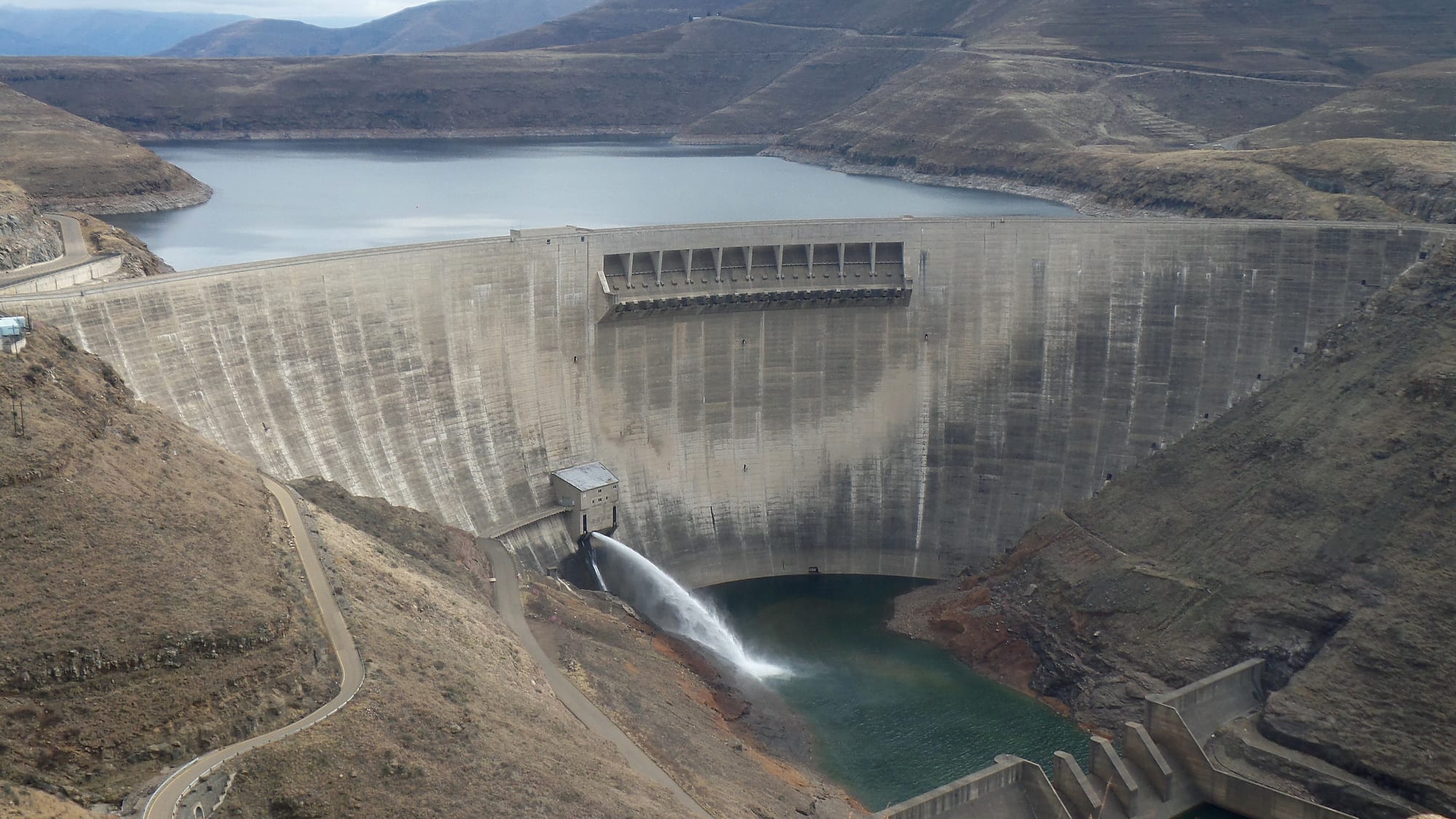
Katse is Africa's second-largest double-curvature arch dam, after the Tekezé Dam in Ethiopia.