History · Sint Maarten
Why is one small island split between France and the Netherlands?
When Spain abandoned Saint Martin in 1648, French and Dutch settlers chose to share it rather than fight, and the line they drew has lasted ever since.
By Globeway Editorial · 2 November 2026
The short answer
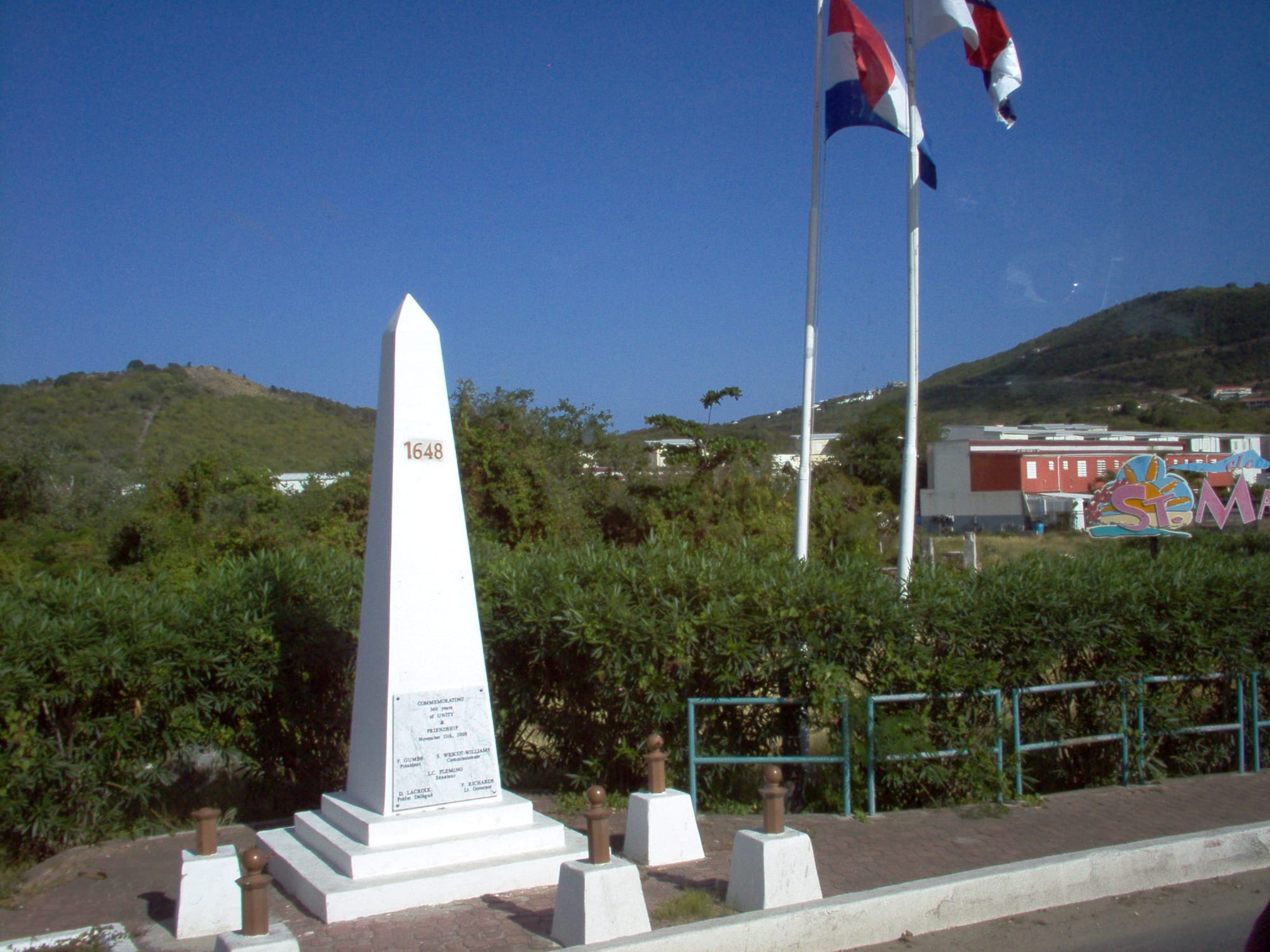
Saint Martin is split because in 1648 two groups of settlers, French and Dutch, both wanted it, and neither could push the other off. Spain had held the island for 15 years and then simply abandoned it when its long war with the Dutch ended. Dutch colonists returned from nearby St Eustatius, French colonists arrived from St Kitts, and after some early clashes they decided that sharing was better than an all-out war. On 23 March 1648 they signed the Treaty of Concordia, dividing the island between the Kingdom of France and the Dutch Republic.
The line moved many times over the next century and a half, but it settled in 1817 and has stayed put since. Today the northern part, about 53 square kilometres, is the French overseas Collectivity of Saint-Martin, and the southern part, about 34 square kilometres, is Sint Maarten, a country within the Kingdom of the Netherlands. The treaty is one of the oldest still in force, and people can cross freely between the two sides.
Salt, tobacco and a war with Spain
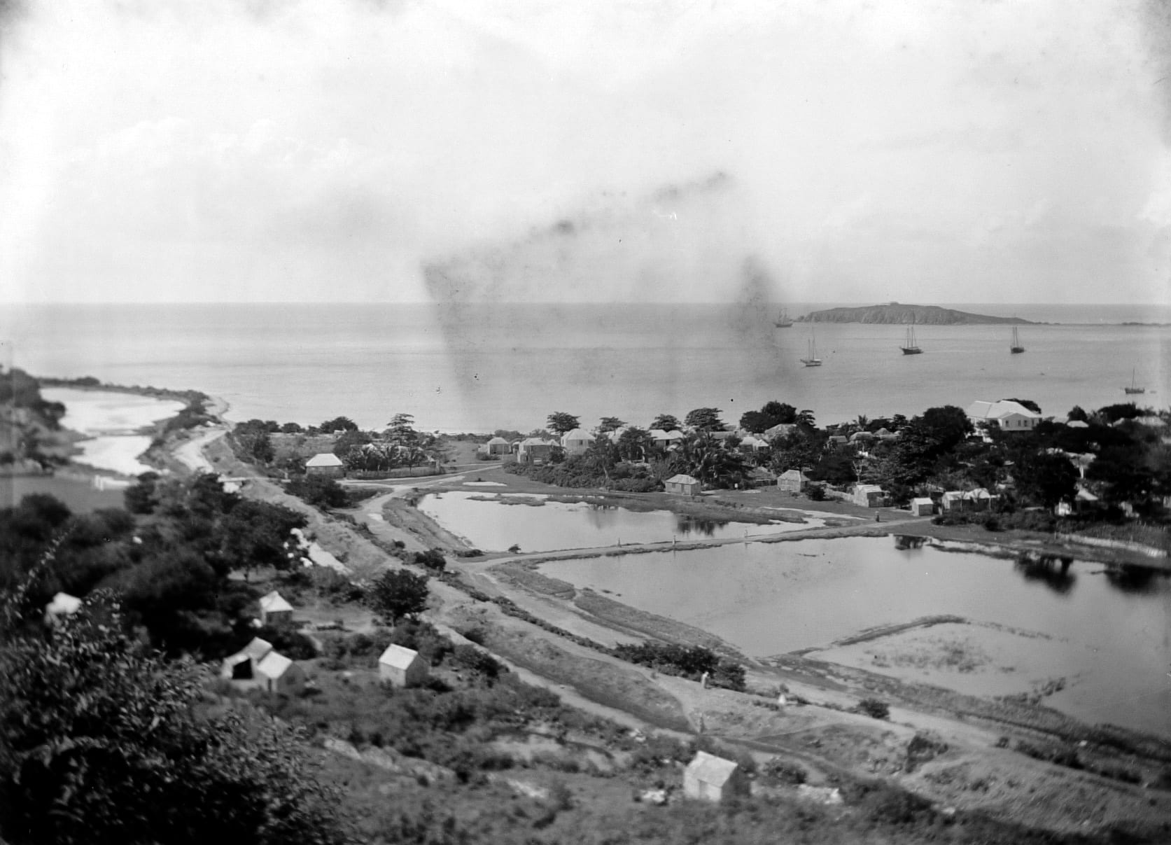
The island's Kalinago name, Soualiga, means "the island of salt", and salt is what first drew the Dutch. In 1631 they built Fort Amsterdam, and the Dutch West India Company began harvesting salt from the island's ponds. The island was also a handy halfway point between the Dutch colonies of New Amsterdam, today's New York, and Dutch Brazil. The French, for their part, wanted to colonise the islands between Trinidad and Bermuda, and their early colonists on Saint Martin grew tobacco.
Spain, which nominally claimed the island, was at war with the Dutch in what became known as the Eighty Years' War. In 1633 Spanish forces captured Saint Martin, drove out the Dutch and built a fort at Point Blanche. A Dutch attack led by Peter Stuyvesant in 1644 failed. Then, in 1648, the war ended and Spain, seeing no further value in the island, left.
A deal signed on a hilltop
With the Spanish gone, both nations moved back in. The Treaty of Concordia was signed by the island's two governors, Robert de Longvilliers for France and Martin Thomas for the Dutch, on top of the hill on the modern border between Marigot and Philipsburg, still called Mount Concordia, or Mont des Accords. A shared dislike of the Spanish helped bring them together, and the treaty said the island's peoples were to live side by side in co-operation.
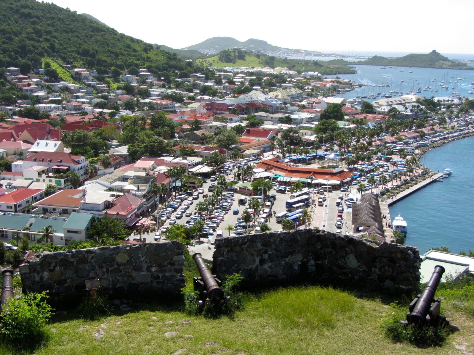
The division largely followed where each side already lived and worked. The French kept the land they occupied and the coast facing Anguilla to the north. The Dutch kept the area around their fort on the south coast and the land around it. The inhabitants agreed to share the island's natural resources, and later French rules still cited the treaty when confirming the right of the French side to harvest salt on the Dutch side. During the negotiations the French kept a fleet of warships offshore, which they used as a threat to bargain for more land.
Sixteen border changes and two centuries of rivalry
The treaty did not end the rivalry. Between 1648 and 1816 conflicts changed the border 16 times, and from 1795 to 1815, after the Netherlands became a puppet state of France, the whole island came under effective French control. The boundary finally settled in its present position by 1817. The French ended up with the larger share, about 60 per cent of the 87-square-kilometre island.
The line mattered in people's lives. Both nations brought in large numbers of enslaved Africans to work cotton, tobacco and sugar plantations. When France abolished slavery in its colonies in 1848, enslaved people on the Dutch side protested and threatened to flee across the border to the French side. The local Dutch authorities freed them, although slavery was not legally abolished in the Dutch colonies until 1863.
- 1631
The Dutch build Fort Amsterdam and begin harvesting salt.
- 1633
Spain captures the island and expels the Dutch.
- 1648
Spain leaves; on 23 March France and the Dutch Republic sign the Treaty of Concordia.
- 1795–1815
The whole island falls under effective French control.
- 1817
The border settles in its present position.
- 2010
Sint Maarten becomes a constituent country of the Kingdom of the Netherlands.
- 2023
France and the Netherlands sign an agreement fixing the last unclear stretches of the border.
One island, two countries today
The island is still divided, but the border is open. There are rarely any checks on the road between the two sides, a freedom of movement that goes back to the treaty itself. It is the only land border between France and the Kingdom of the Netherlands, whose European territories are separated by Belgium. The two halves differ in ways a visitor notices: French Saint-Martin uses the euro and is part of the European Union, while Sint Maarten uses the Caribbean guilder and is not. Though smaller, the Dutch side has more people.
The final details took a remarkably long time. The 1648 treaty left some zones unclear, above all the lagoon of Oyster Pond on the east coast, and the problem became pressing when hurricane debris had to be cleared there after Hurricane Irma in 2017. On 26 May 2023 the two countries signed an agreement defining the border in detail. France gained water rights in the lagoon and Sint Maarten gained some extra land. The French National Assembly approved its ratification on 16 July 2026, with the Netherlands still to complete its own process.
Some islanders would go further and erase the line altogether. A "Unity Flag" for a single Saint Martin was adopted in 1990, and when COVID-19 controls were placed on the border in 2020, protesters flew it. When the restrictions were lifted that September, people on both sides chanted "One island, one people, one destiny". Others argue that formal unification is unnecessary, since the open border already lets the island live as one.