History · The Gambia
Why is The Gambia a thin strip of land inside Senegal?
Britain held a river and France held everything around it; an 1889 deal drew the line about 10 kilometres either side of the water, and it never moved.
By Globeway Editorial · 2 November 2026
The short answer
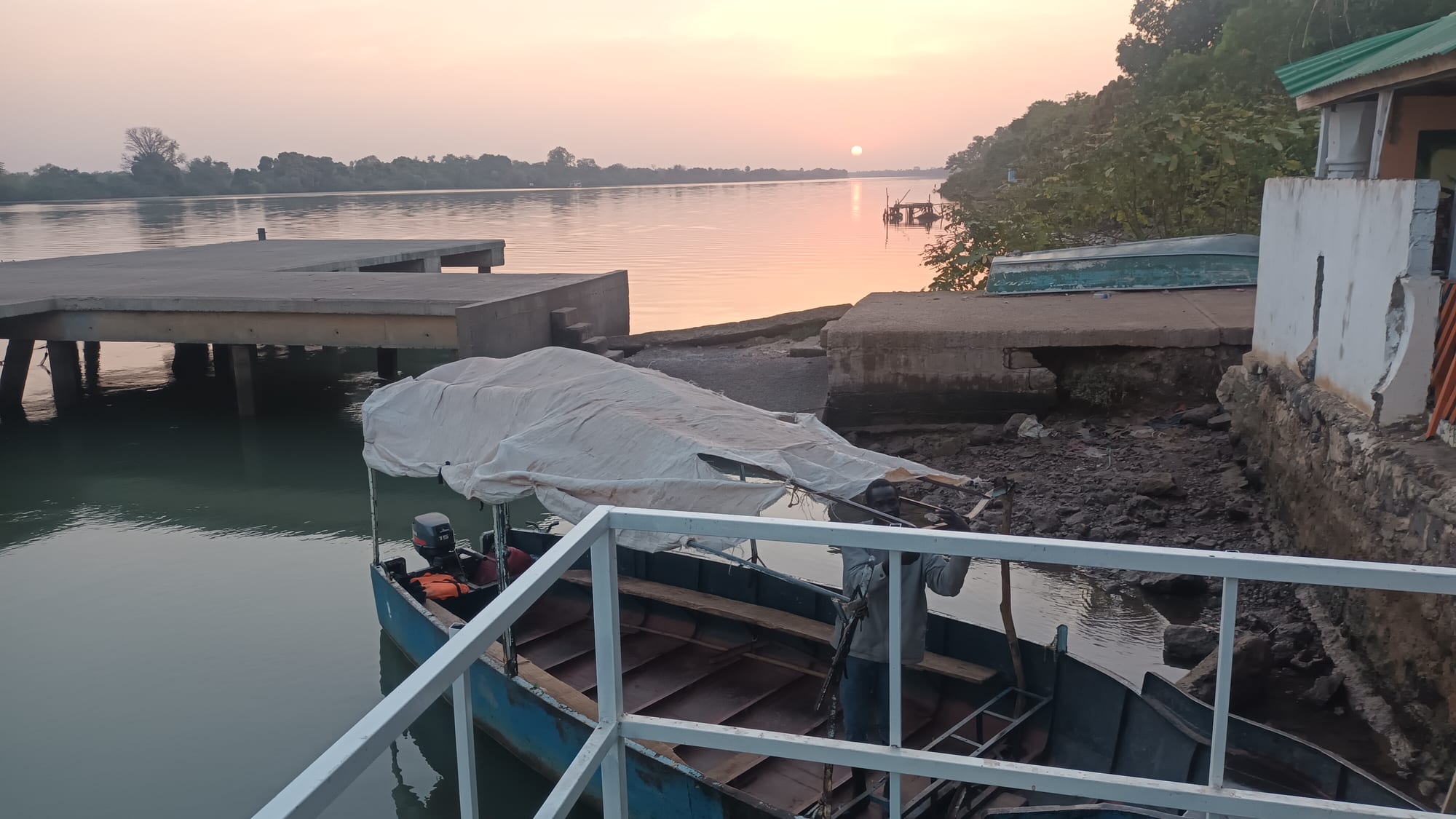
The Gambia is the shape of a river because it was created around one. For centuries the English, and later the British, traded along the Gambia River, while France controlled the land around it that became Senegal. In 1889 the two powers signed a convention fixing the border at roughly 10 kilometres north and south of the river, as far inland as a place called Yarbutenda, the point to which sea-going ships could sail. Britain got the river and a thin band of land on each bank; France got the rest.
That border was seen as temporary at the time. Britain more than once tried to swap the territory with France, and after independence the two countries briefly joined in a confederation. But the 1889 line has never been changed, except for minor adjustments, so The Gambia remains a ribbon of land less than 50 kilometres wide at its widest, surrounded by Senegal on every side except a short Atlantic coast.
A river worth fighting over
The Gambia River runs 1,120 kilometres from the highlands of Guinea to the Atlantic, and about half of that length is navigable. Long before Europeans came, traders used it to move salt, iron, cloth, gold, ivory and enslaved people deep into West Africa. The first European to sail into it was the Venetian Alvise Cadamosto, working for Portugal, in 1455.
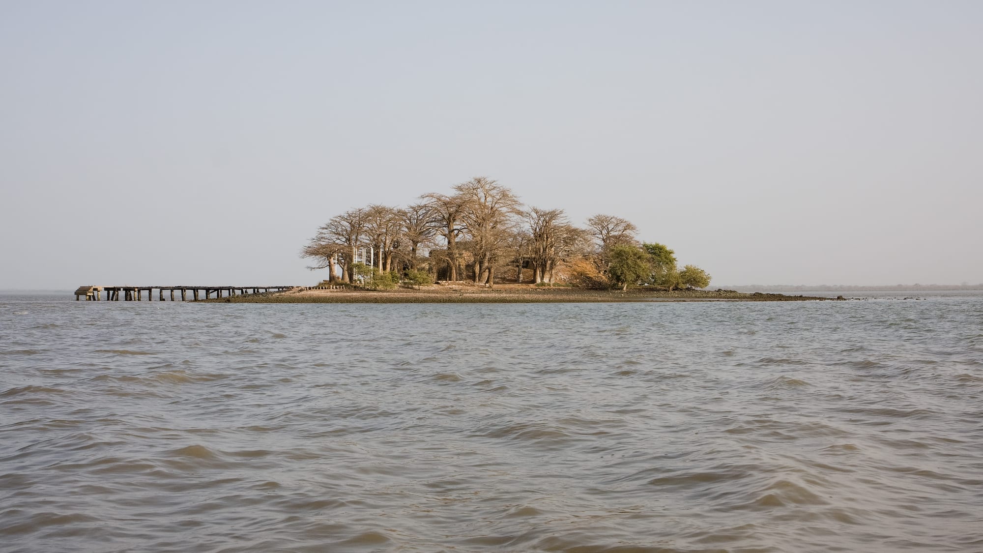
Europeans wanted the river because it was a road into the continent. In 1651 the Duchy of Courland, a small Baltic state, built a fort on an island 30 kilometres upriver. The English seized it in 1661 and named it James Island, and for the next century and a half they competed with the French, who held a small trading post at Albreda on the opposite bank. Both powers traded in enslaved Africans along the river. The 1783 Treaty of Versailles settled the rivalry for a time: France regained Gorée and the Senegal River region, and Britain kept the Gambia. In 1816 Britain founded Bathurst, now Banjul, on an island at the river mouth, and France gave up Albreda in 1857.
The line drawn in 1889
By the 1880s the European powers were racing to claim African territory, and the vague edges between British Gambia and French Senegal had to be fixed. On 10 August 1889 Britain and France signed a convention that set the boundary at ten kilometres north and south of the river, running inland as far as Yarbutenda, near the modern village of Koina, with a 10-kilometre arc around that point closing off the eastern end. The logic was simple: Britain would keep the river as far as sea-going vessels could use it, and nothing more. During the talks in Paris, the French at first offered Britain only around 320 kilometres of the river.
Drawing the line on the ground was harder. A joint Anglo-French boundary commission arrived in 1891 and met resistance from local rulers whose lands it was about to divide. British warships shelled the town of Kansala, and armed men landed on the riverbanks to discourage further opposition. Marking out the final border took nearly fifteen years, with more work on the ground in 1911 and 1925. The result is the series of straight lines and arcs still visible on any map: a 749-kilometre border that loops around both banks of the river.
The swap that never happened
The Gambia might easily have become French. Britain found the colony small and unprofitable, and in 1870, and again from 1874 to 1876, it negotiated with France to exchange it for French territory elsewhere in West Africa. In 1870 a British minister told the House of Lords that the Gambia was "an absolute burden without any redeeming characteristics".
Each time the plan ran into opposition in the Gambia itself. African community leaders in Bathurst organised petitions against being handed over, and British merchants on the river campaigned against it too. The talks collapsed in 1876, and an idea from the 1890s of trading the Gambia for French fishing rights off Newfoundland also came to nothing. Because no swap was ever made, the colony survived with its river-hugging border intact and had its inland districts declared a British protectorate in 1894.
- 1455: Alvise Cadamosto becomes the first European to sail to the Gambia
- 1661: the English capture the island fort and rename it James Island
- 1783: the Treaty of Versailles leaves the Gambia River to Britain
- 1816: the British found Bathurst, today's Banjul, at the river mouth
- 1889: the Anglo-French Convention fixes the border along the river
- 1965: The Gambia becomes independent, five years after Senegal
- 1982: the Senegambia Confederation begins; Senegal dissolves it in 1989
- 2019: the Senegambia Bridge opens across the river
Two countries, one region
Senegal became independent from France in 1960 and The Gambia from Britain on 18 February 1965, which turned a colonial line into an international border. The two countries share peoples, languages and food, and the situation has caused practical problems: different trade rules fed large-scale smuggling across the border, and Senegal's southern region of Casamance is cut off from the rest of the country by The Gambia.
After Senegalese troops helped put down a coup attempt in The Gambia in 1981, the two countries formed the Senegambia Confederation in 1982. It was meant to unite their armies and economies, but Gambians feared being swallowed by their much larger neighbour. Around 1987 Senegal's president, Abdou Diouf, upset many Gambians by calling their country "an accident of history", and Senegal dissolved the union in 1989. In July 2026 the two governments finalised an agreement to clarify the demarcation of their common border.
Following the river today
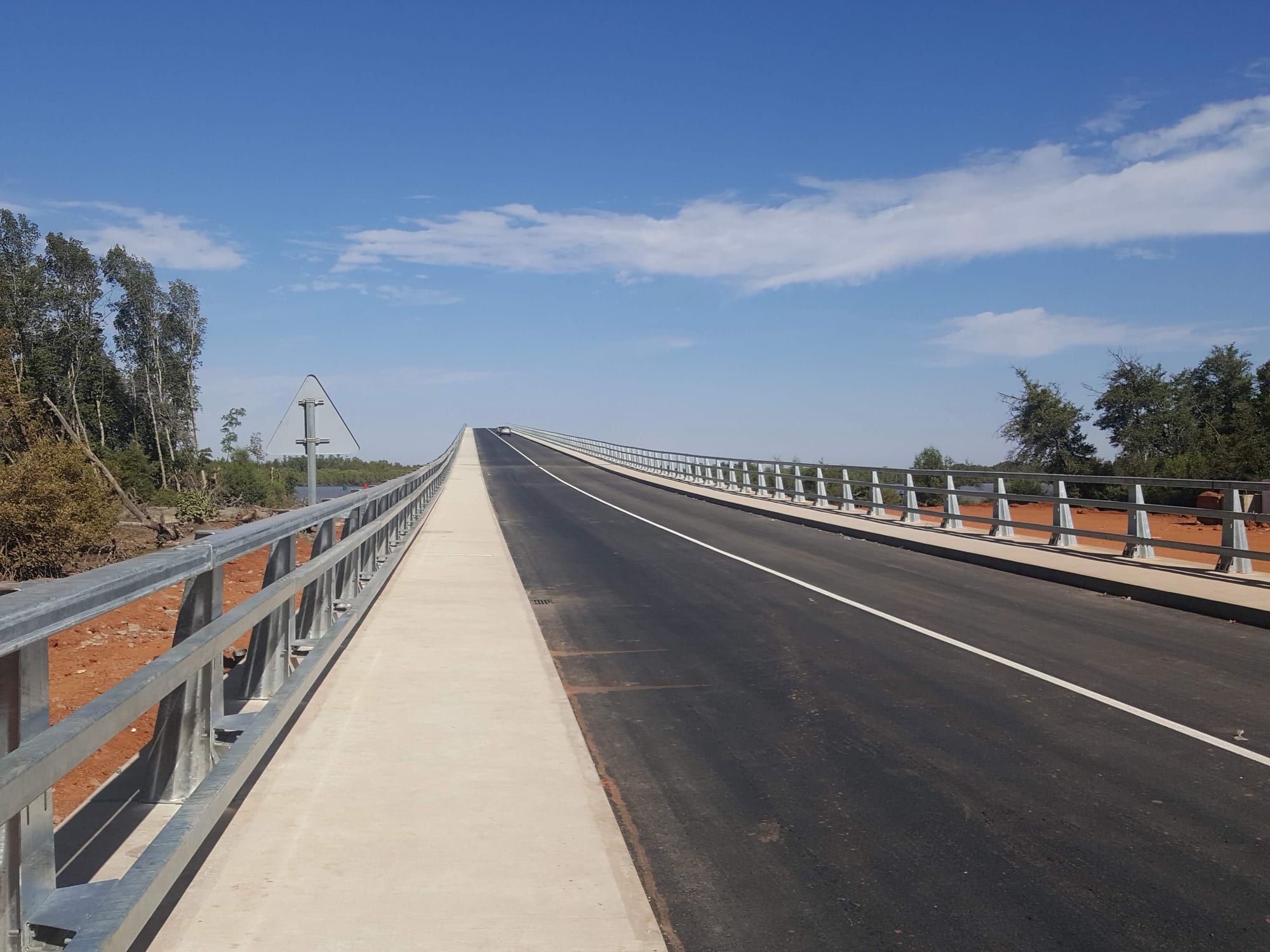
Because the country is the river, travelling through it means travelling along the water. Before 2019 the road between northern and southern Senegal had to cross The Gambia by an unreliable ferry or make a detour of about 400 kilometres eastward. In January 2019 the 1.9-kilometre Senegambia Bridge opened between Soma and Farafenni, carrying the Trans-Gambia Highway over the river.
The history that shaped the border can still be seen. Kunta Kinteh Island, renamed in 2011 after Kunta Kinte, the enslaved man at the heart of Alex Haley's book Roots, is a UNESCO World Heritage Site together with Albreda, Juffureh and two forts at the river mouth. The island has been heavily eroded and is now about a sixth of the size it was when its fort was in use.