Attractions & Natural Wonders · Guam
Guam: Eight Attractions and Natural Wonders
America's western edge in the tropical Pacific — a resort bay of turquoise reef, the stone pillars of an ancient people, and the beaches where the 1944 battle was fought
By Worldlore Editorial · 30 September 2026
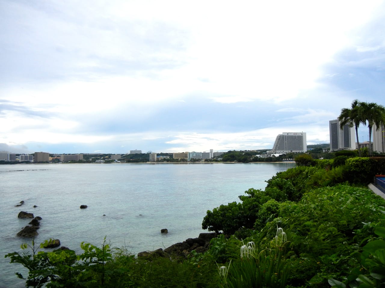
The tip of the American Pacific
Guam is an unincorporated territory of the United States — its people US citizens, but with no vote for president — at the southern end of the Mariana Islands in the western Pacific, closer to Manila and Tokyo than to Honolulu. It is about 210 square miles, home to roughly 170,000 people, with a large US military presence occupying nearly a third of the land. The indigenous Chamorro (CHamoru) culture, shaped by more than two centuries of Spanish rule and then American, remains central; most tourists come from Japan and South Korea.
The eight below run from the resort bay through the capital to the quieter, greener south. It is warm and humid year-round; the dry season (roughly January to May) is the better time, and typhoons are most likely from August to November.
1. Tumon Bay
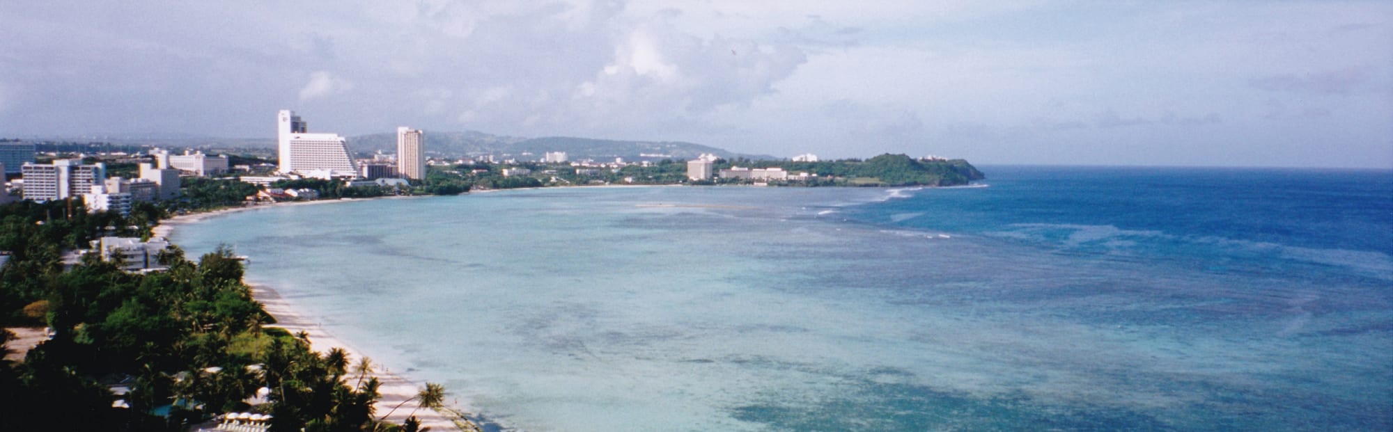
Tumon is the tourist heart of Guam — a crescent bay lined with high-rise hotels, duty-free malls, and restaurants, fronting a shallow turquoise lagoon that is a protected marine preserve. The reef is close in and easy to snorkel; the Aquarium of Guam (formerly UnderWater World), with its long walk-through tunnel, has been closed for redevelopment, and the beach parks fill up at weekends with local families barbecuing.
It is a 10-minute drive from the airport and where most visitors stay.
2. Hagåtña
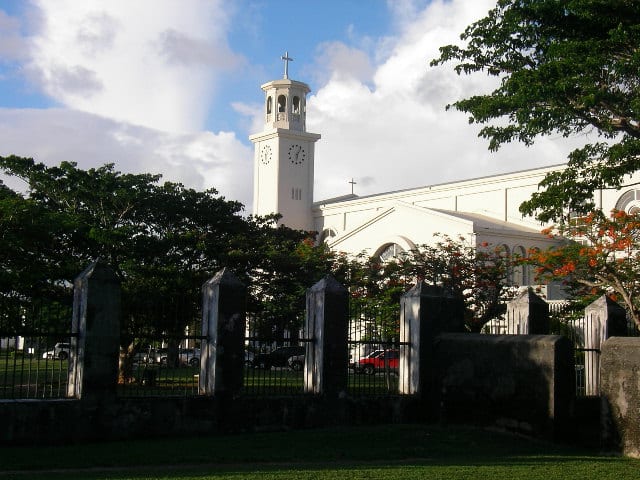
Hagåtña (Agana), the small capital, was largely destroyed in the 1944 fighting but keeps the Plaza de España — the arches and Chocolate House of the old Spanish palace grounds — plus the Dulce Nombre de Maria cathedral, the Guam Museum, the Latte Stone Park, and the seaside Paseo park. Nearby Adelup Point has the governor's complex.
The whole downtown is walkable in an hour or two.
3. Latte stones and the ancient Chamorros
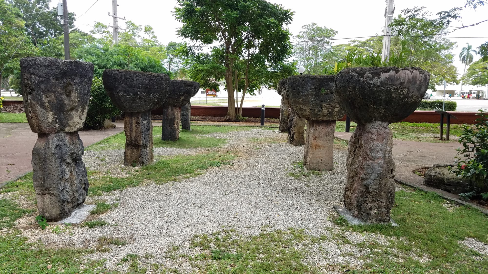
The latte — a stone column (haligi) topped by a cap-stone (tasa) — is the emblem of the pre-colonial Chamorro world, used from around AD 900 as the raised footings for important houses. The set moved to Latte Stone Park in Hagåtña came from Mepo', a village site in the Fena area of south-central Guam; the tallest latte still standing, about 16 feet high, are at the House of Taga on the neighbouring island of Tinian.
The Guam Museum puts them in context, alongside the seafaring and matrilineal Chamorro society the Spanish found in 1668.
4. War in the Pacific National Historical Park
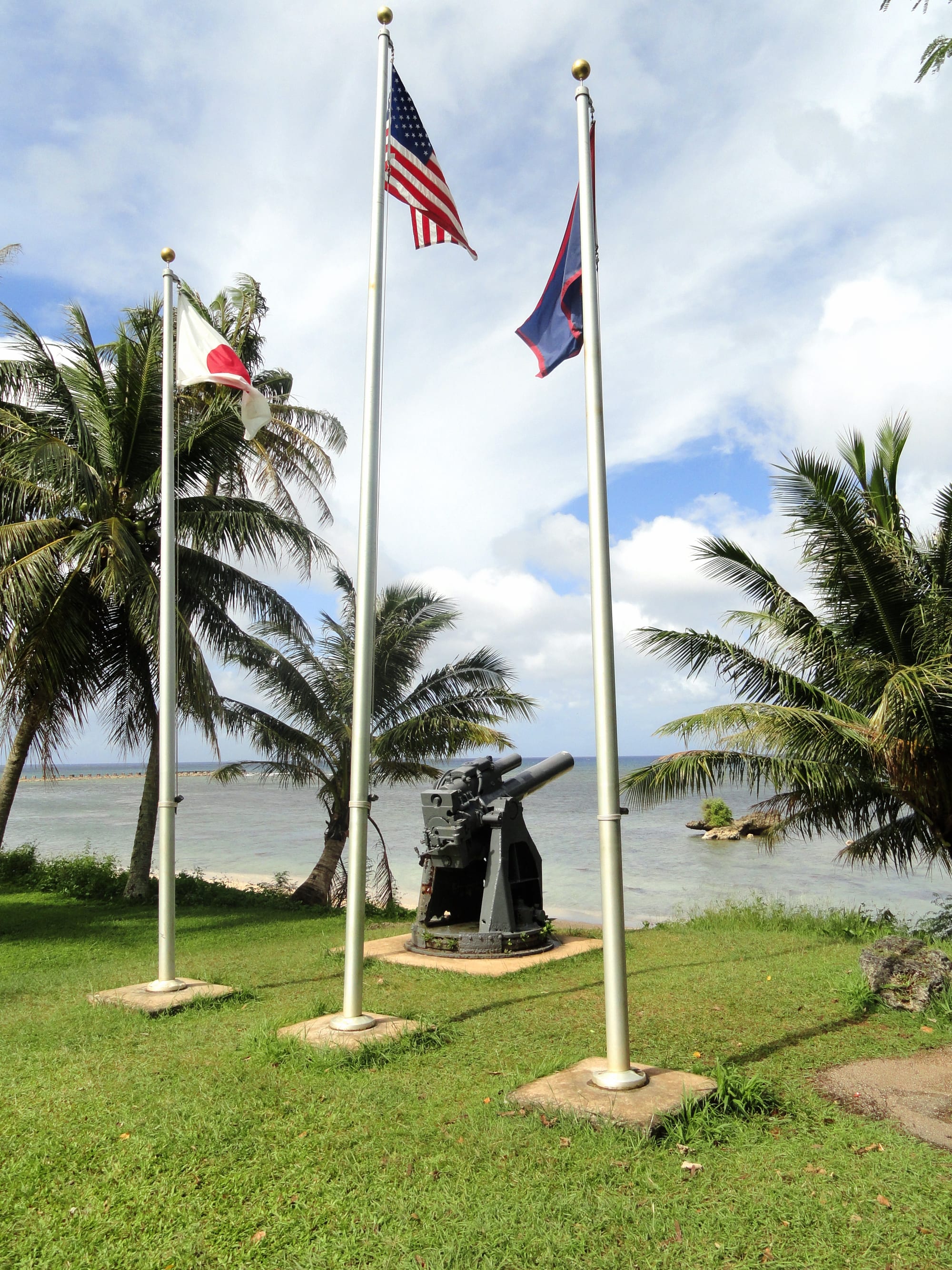
Japan seized Guam hours after Pearl Harbor and held it, harshly, until the US retook it in three weeks of fighting in July–August 1944. The national historical park is spread across several units on the west coast — the Asan and Agat invasion beaches, gun emplacements, trenches, and the excellent T. Stell Newman Visitor Center near the naval base. It commemorates all who fought and the Chamorro civilians who suffered under the occupation.
Rusting Japanese guns and pillboxes are still in the jungle and on the reef.
5. Two Lovers Point
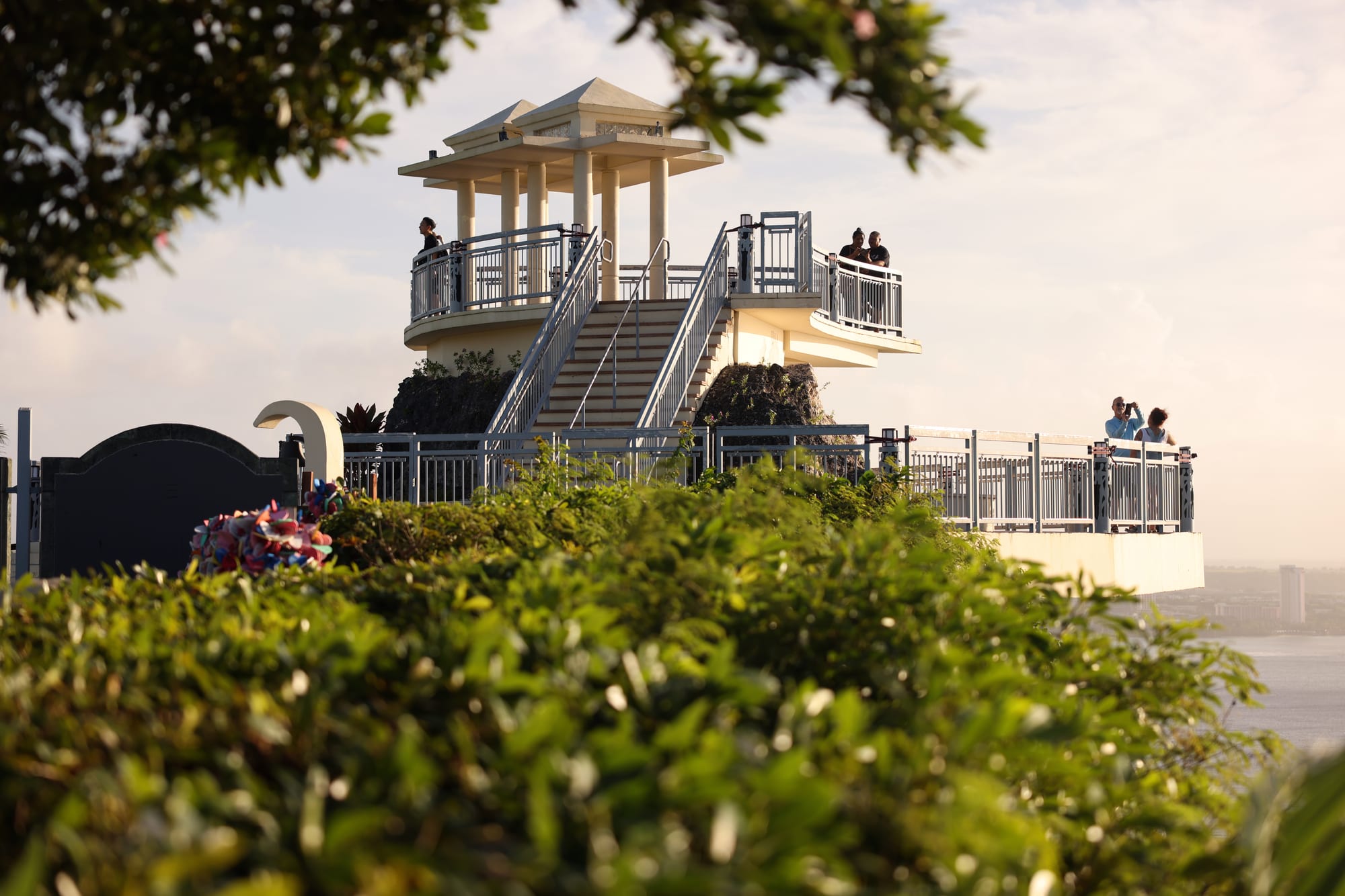
Two Lovers Point is a sheer limestone headland north of Tumon with a landscaped lookout, a much-photographed view down the coast, and a Chamorro legend — of two young lovers who, forbidden to marry, tied their hair together and leapt from the cliff. It is one of the island's major tourist attractions.
Sunset here, over the Philippine Sea, is the classic Guam photo.
6. Southern Guam and the Spanish forts
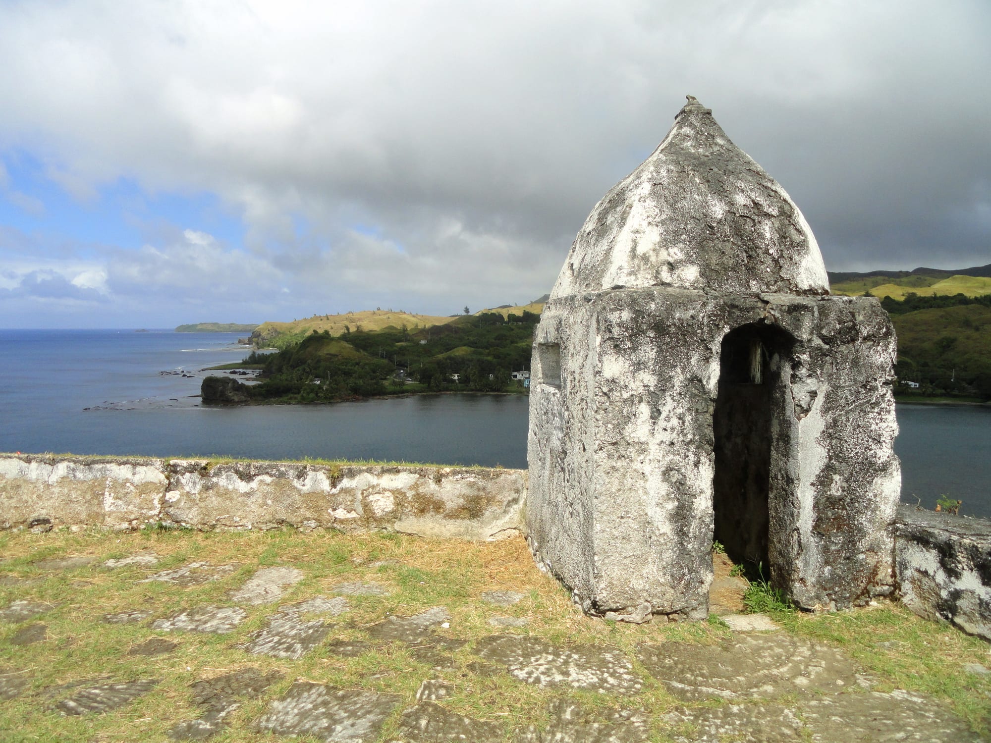
The volcanic south is Guam's rural, Chamorro heartland — small villages, roadside shrines, and a coast road past the remains of Spanish coastal forts built around 1800 to guard the galleon anchorages. Fort Soledad sits above Umatac Bay, the sheltered inlet where Magellan's expedition is traditionally believed to have made landfall in 1521; Fort Santa Agueda stands on a hillside in Hagåtña. Inland rises Mount Lamlam, only about 1,330 feet above sea level but, measured from the nearby Mariana Trench seabed, arguably the tallest mountain on earth.
The southern loop drive takes half a day with stops.
7. Talofofo Falls and Cetti Bay
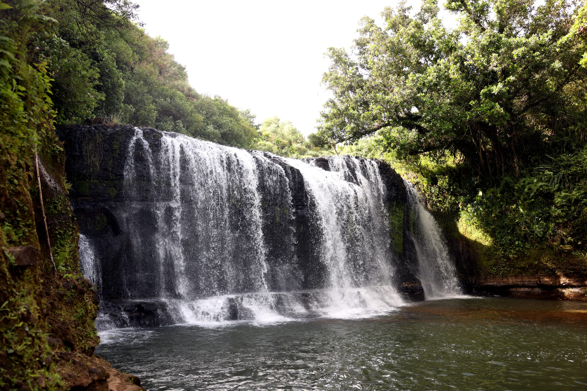
The jungle interior of the south hides several waterfalls. Talofofo Falls, a series of cascades on the Ugum River, is the easiest to visit, in a slightly kitsch resort park with a cable car, lookout tower, and a replica of the cave where a Japanese soldier, Shoichi Yokoi, hid until 1972, almost 28 years after the island was retaken, fearing capture long after he knew the war had ended. Over on the west coast north of Umatac, the Cetti Bay overlook gives a sweeping view over a secluded bay that is hard to reach on foot.
The more adventurous hike to remoter waterfalls with a local guide.
8. Ritidian Point
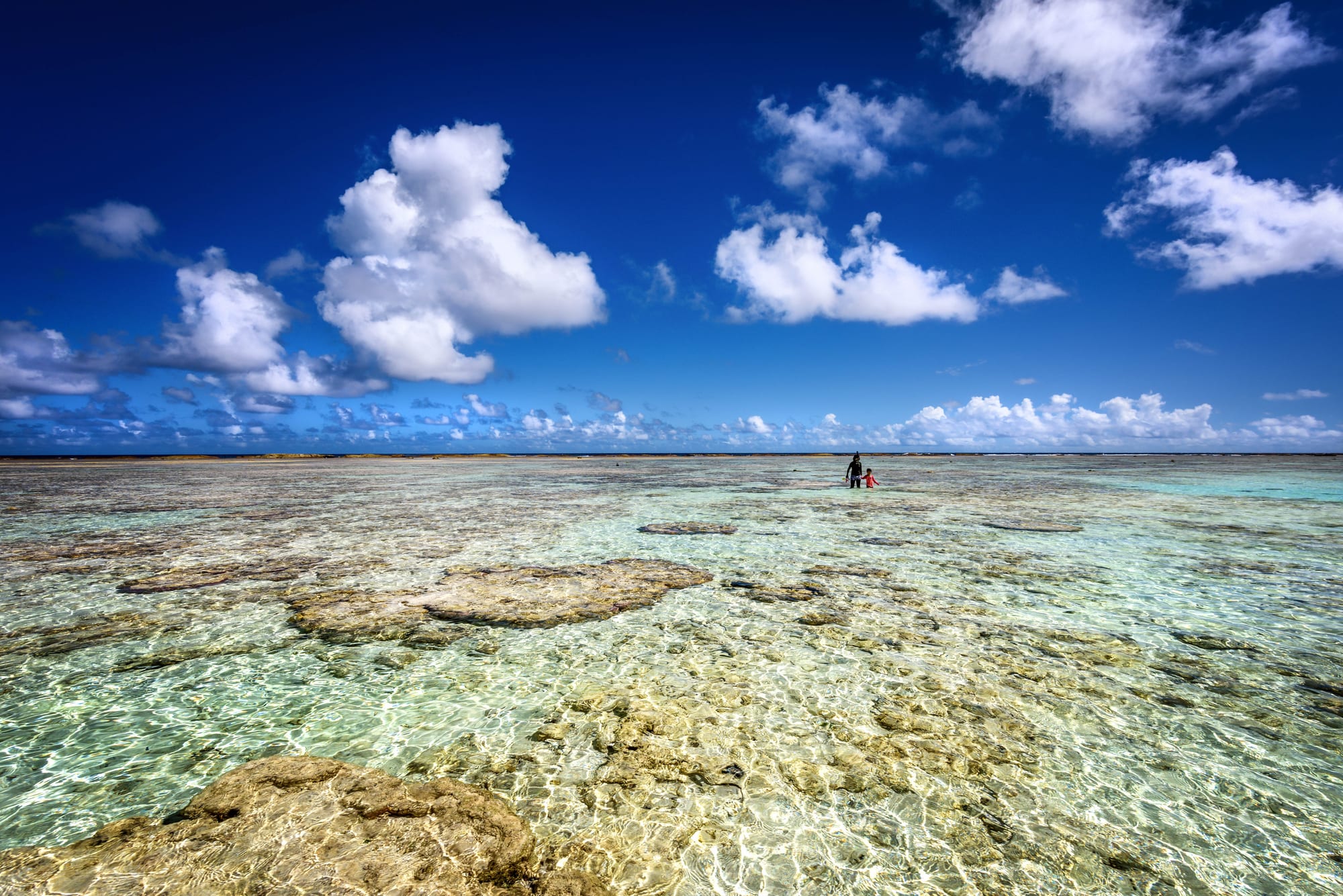
At the far northern tip of the island, the Guam National Wildlife Refuge at Ritidian (Litekyan) protects one of the best undeveloped beaches — white sand, clear water, and a fringing reef — backed by a limestone cliff and forest with the archaeological remains of a pre-Magellan Chamorro village; green sea turtles nest on the beaches. The refuge supports some of the native birds hammered by the invasive brown tree snake.
It is a long drive north; the refuge keeps limited daytime hours and closes in storm conditions.
Guam is a short-break destination for most visitors — four or five nights based in Tumon, with a day for the war park and Hagåtña and a day driving the south. It also works as a Pacific stopover between Asia and Micronesia or Hawaii.