Attractions & Natural Wonders · Madagascar
Madagascar: Seven Attractions and Natural Wonders
An island that split from Africa more than 100 million years ago and grew its own world — giant baobabs, a forest of stone spikes, and lemurs found nowhere else on earth
By Worldlore Editorial · 30 September 2026
An island continent of its own
Madagascar split from the African mainland well over 100 million years ago and from India about 90 million years ago, and its plants and animals evolved in isolation ever since — roughly 90 percent of its wildlife exists nowhere else on earth. It is the world's fourth-largest island, home to about 30 million people and a culture that mixes African, Southeast Asian (Malagasy is an Austronesian language), and Arab influences. Roads are slow and the country is poor, but the wildlife and landscapes reward the effort.
The seven below span the baobab country of the west, the rainforest east, and the capital in between. The cooler dry season (roughly May to October) is the best time to travel; cyclones can strike in the hot, rainy months between November and April.
1. The Avenue of the Baobabs
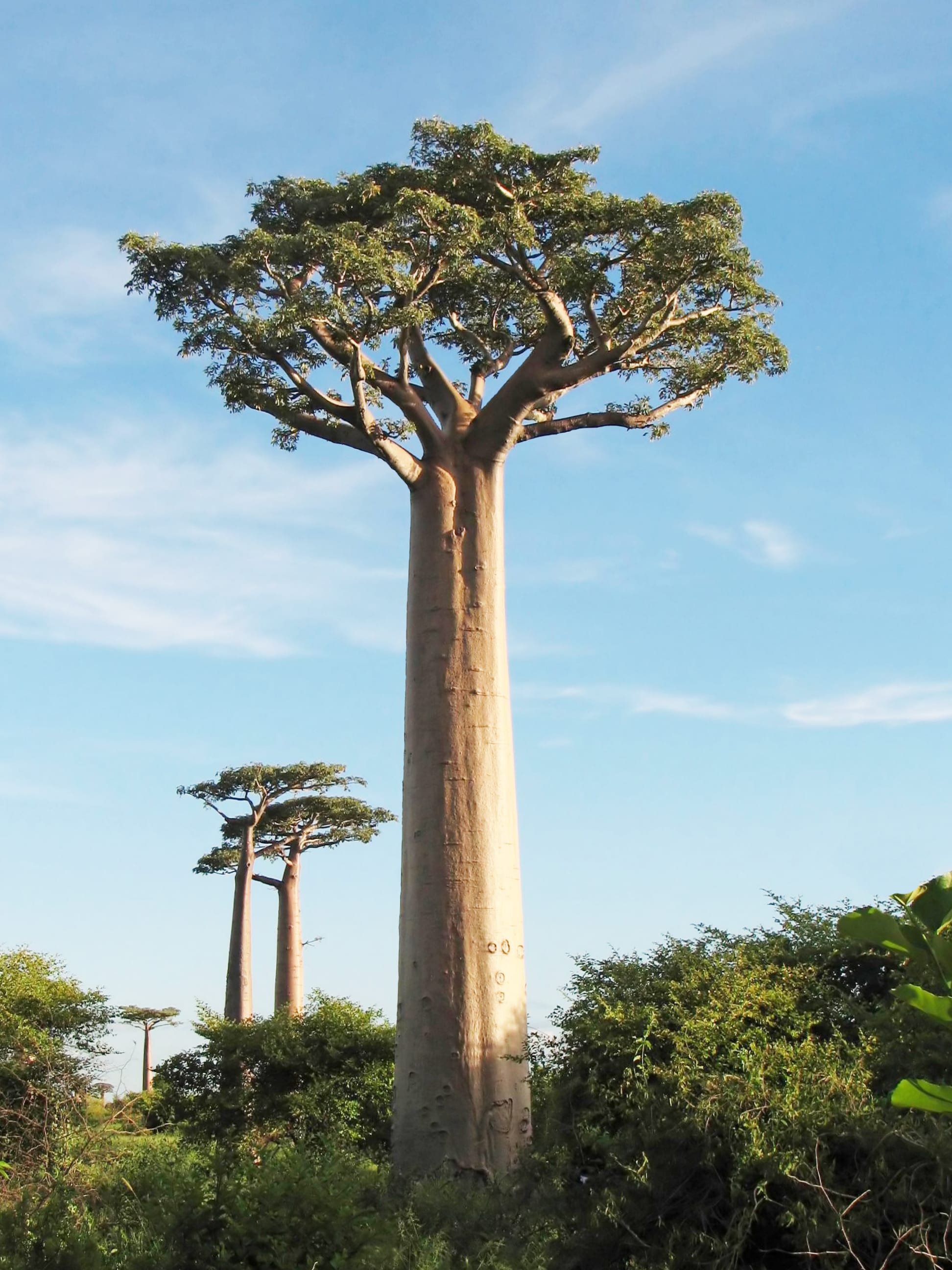
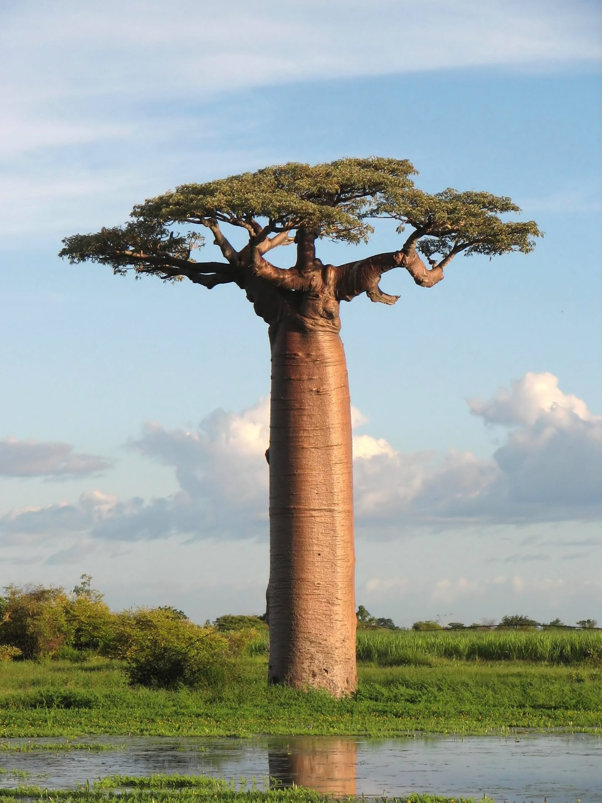
Near Morondava on the west coast, a red dirt road runs through a stand of Grandidier's baobabs — smooth, swollen trunks about 30 metres tall, all that remains of a denser forest cleared for farmland over centuries. Sunset and sunrise, when the trees silhouette against the sky, are when it is photographed and visited by nearly everyone who comes.
It lies on the unpaved road between Morondava and Belon'i Tsiribihina, and Morondava itself is reached by a long road or a domestic flight from Antananarivo.
2. Tsingy de Bemaraha
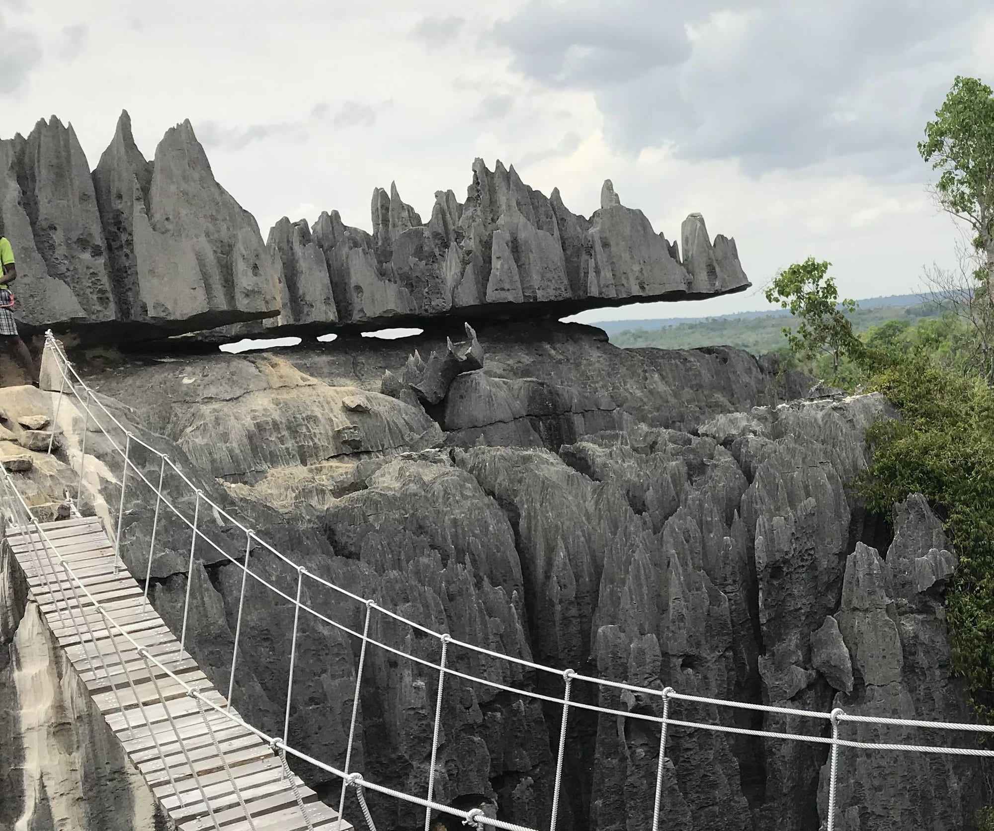
The Tsingy de Bemaraha is a "stone forest" — a vast plateau of limestone eroded by water into a maze of razor-sharp pinnacles, canyons, and caves, its name meaning "where one cannot walk barefoot". Guided trails lead visitors in among the spires; the reserve also protects rare lemurs and birds. First inscribed as a UNESCO World Heritage Site in 1990, it now forms part of the Andrefana Dry Forests World Heritage Site.
It is remote, reached by a long, rough road journey of about 150 km from Morondava, usually as part of a dedicated western circuit.
3. Andasibe-Mantadia
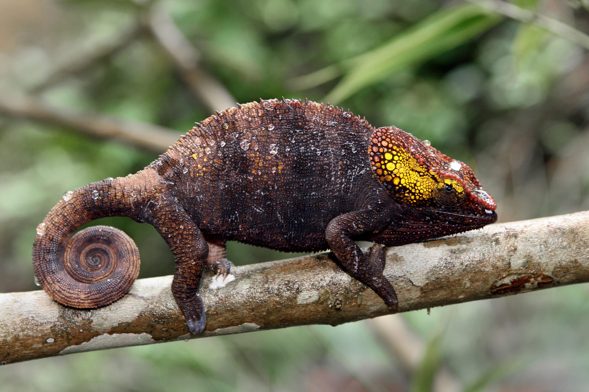
Andasibe-Mantadia, in the eastern rainforest a few hours from the capital, is the easiest place to see and hear the indri — one of the largest living lemurs, whose haunting, siren-like song can carry up to 4 km through the forest. The park is also thick with chameleons, frogs, and orchids, and in 2025 it was designated a UNESCO biosphere reserve.
It is a common first stop on Madagascar itineraries, about three hours' drive east of Antananarivo on a paved road.
4. Isalo National Park
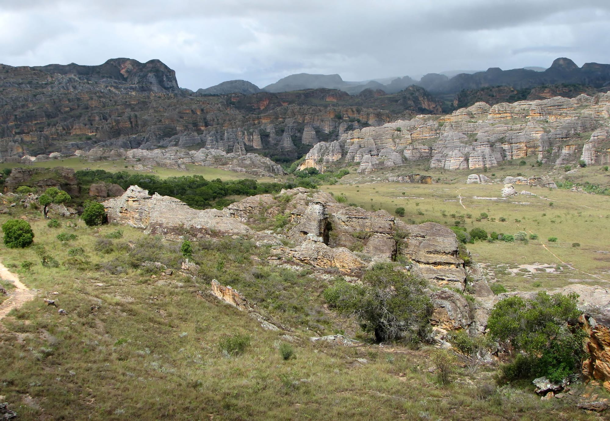
Isalo, in the arid south, is a landscape of eroded sandstone massifs, canyons, and natural swimming pools, closer in feel to the American Southwest than to tropical Madagascar. Its trails lead to natural swimming pools, past several species of lemur, through country grazed by the zebu herds of the Bara people.
It lies near the town of Ranohira, between Ihosy and Toliara (Tuléar), a common stop on a south-of-the-island loop.
5. The Anja Community Reserve
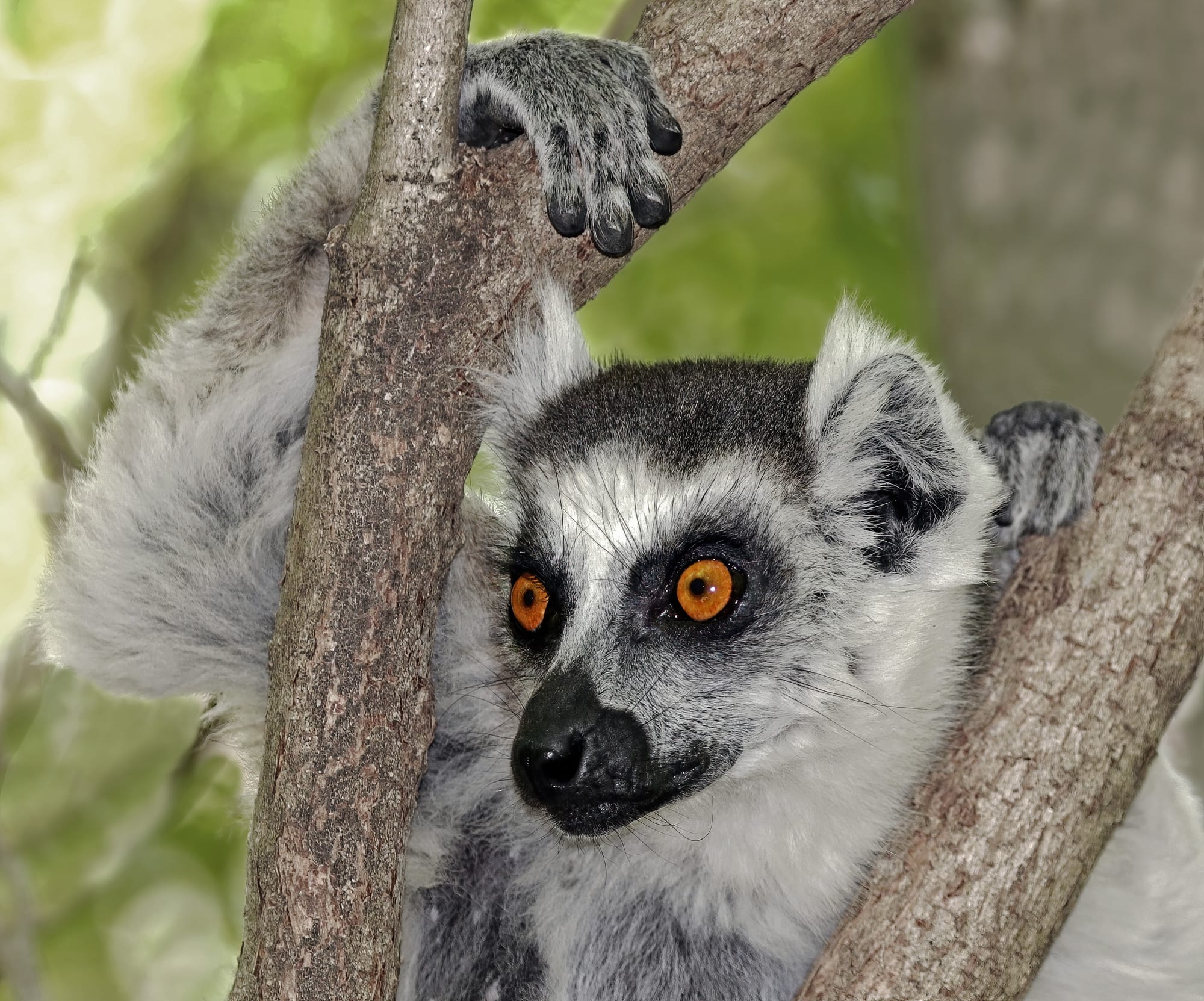
Anja, a small community-run reserve near Ambalavao in the highlands, is one of Madagascar's conservation success stories — a patch of forest among granite boulders that has become home to the highest concentration of wild ring-tailed lemurs in the country, with small caves among the boulders that shelter bats and owls.
Visits are made with a local guide, and the reserve is run by a local association, Anja Miray, that protects it. It lies on National Road 7, 13 km south of Ambalavao.
6. Nosy Be and the northern islands
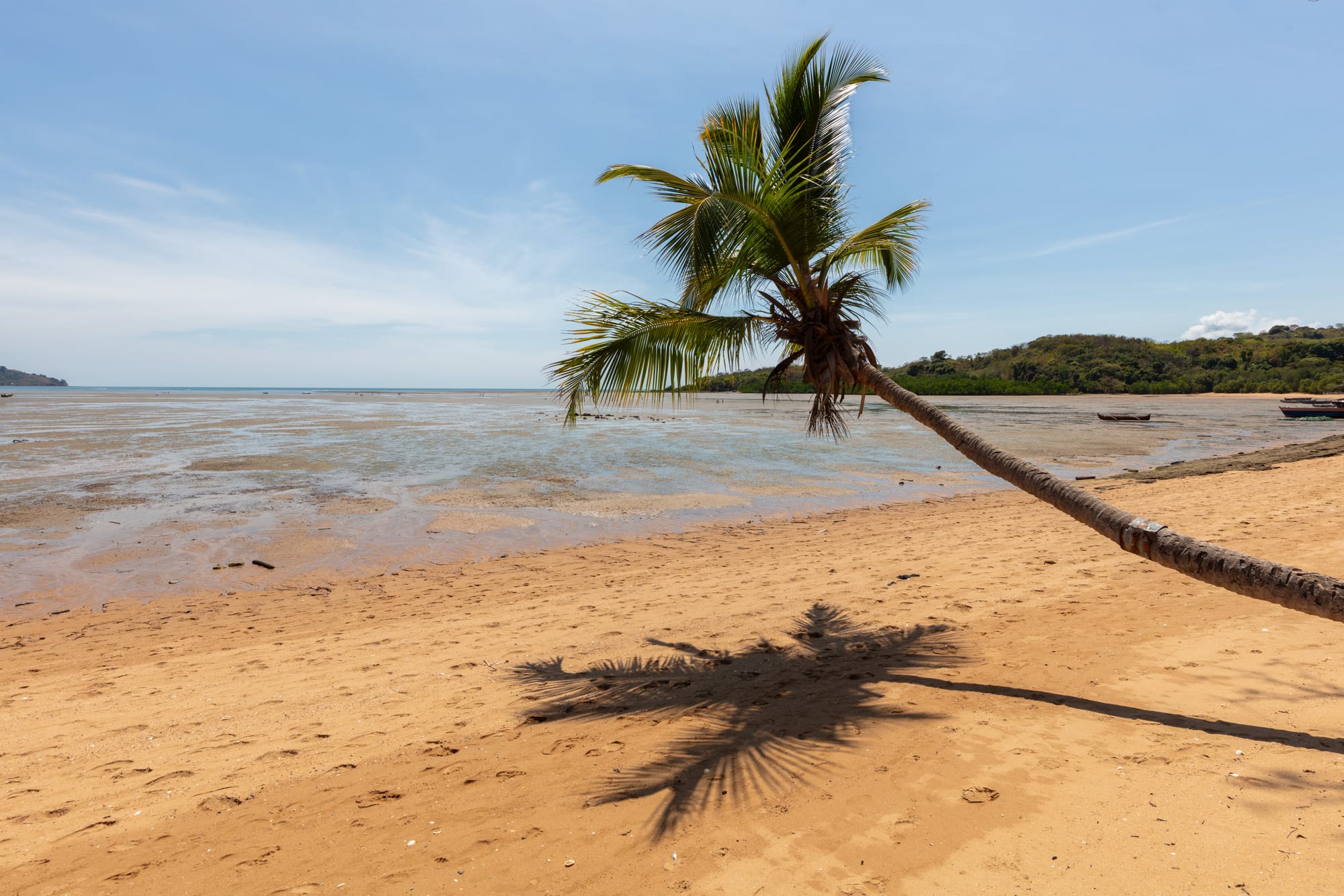
Nosy Be, off the northwest coast, is Madagascar's main beach resort — warm, calm water, ylang-ylang plantations, and easy boat trips to smaller islands like Nosy Komba (lemurs) and Nosy Tanikely (a marine reserve for snorkelling). Further afield, about 50 km from Nosy Be, lies the island of Nosy Iranja, known for its beaches.
It has its own airport, making it the easiest way to combine wildlife with beach time.
7. Antananarivo
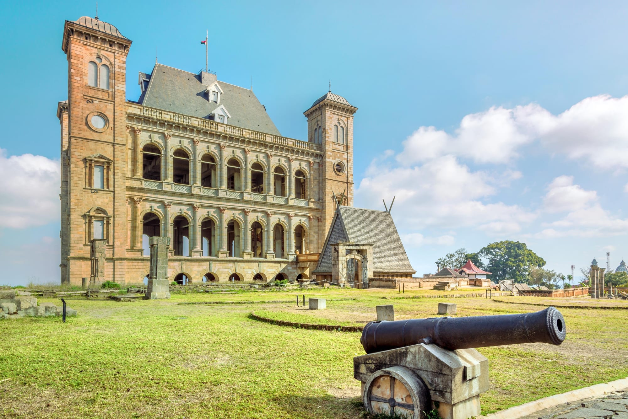
Antananarivo ("Tana"), the hillside capital, has a French colonial lower town and a warren of steep lanes climbing to the Rova, the royal palace compound of the Merina kings and queens who ruled much of the island before French colonisation — badly damaged by fire in 1995 and since restored. The Analakely market, the artificial Lake Anosy, and the view over the terraced rice paddies that ring the city fill out a stay.
Most trips pass through here at the start and end, as the main international gateway.
Madagascar is a big country with slow roads, so trips usually pick a region rather than trying to circle the island. A common two-week route combines Antananarivo and Andasibe in the east with Isalo and the Avenue of the Baobabs in the west or south; the Tsingy and the far north are better suited to a dedicated, longer trip.