Attractions & Natural Wonders · Guyana
Why has almost no one heard of Kaieteur Falls, about four times the height of Niagara?
Kaieteur drops about four times as far as Niagara, but it lies deep in Guyana's rainforest with no road to it, in a country that long shunned tourists.
By Globeway Editorial · 2 November 2026
The short answer
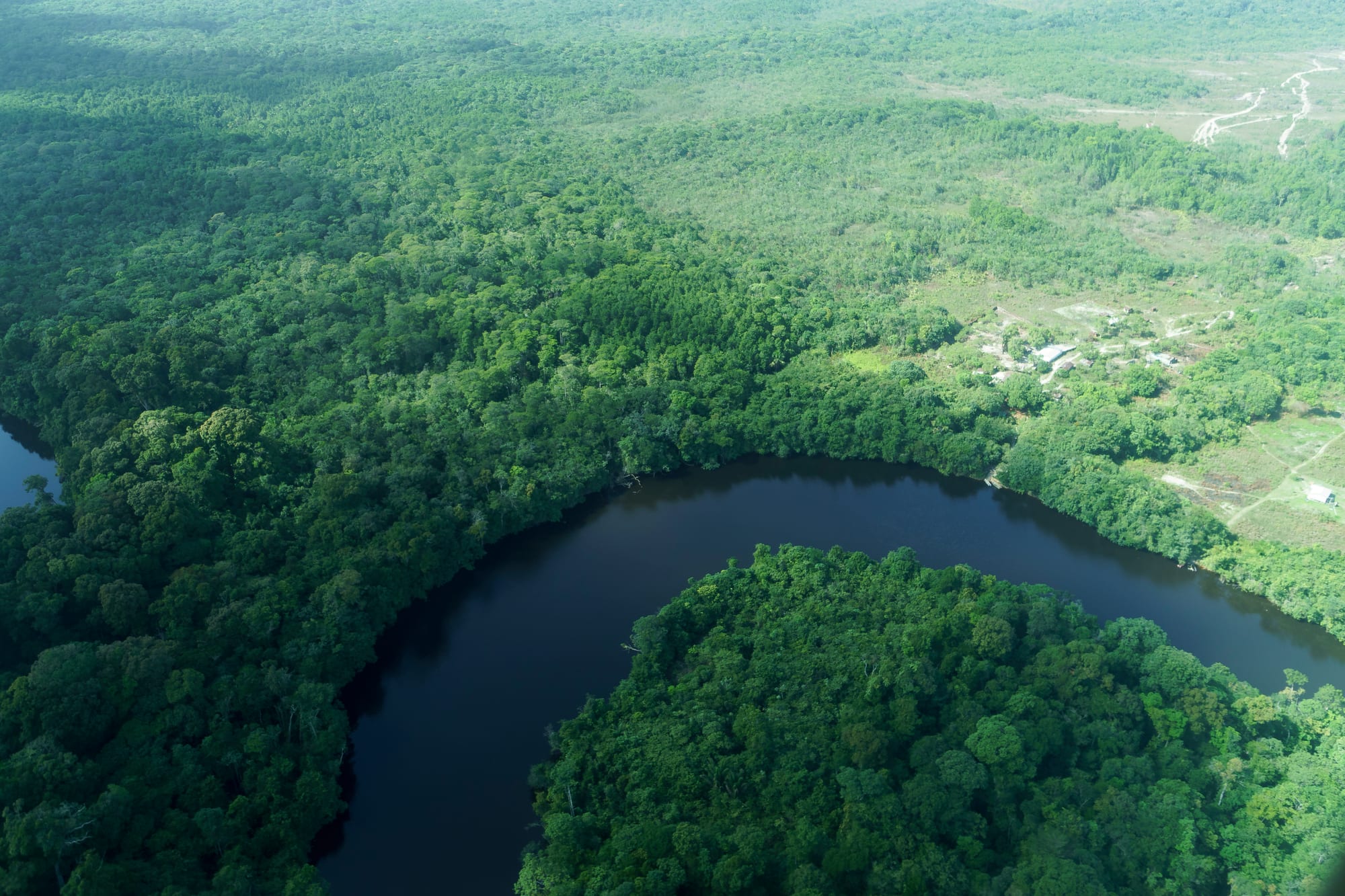
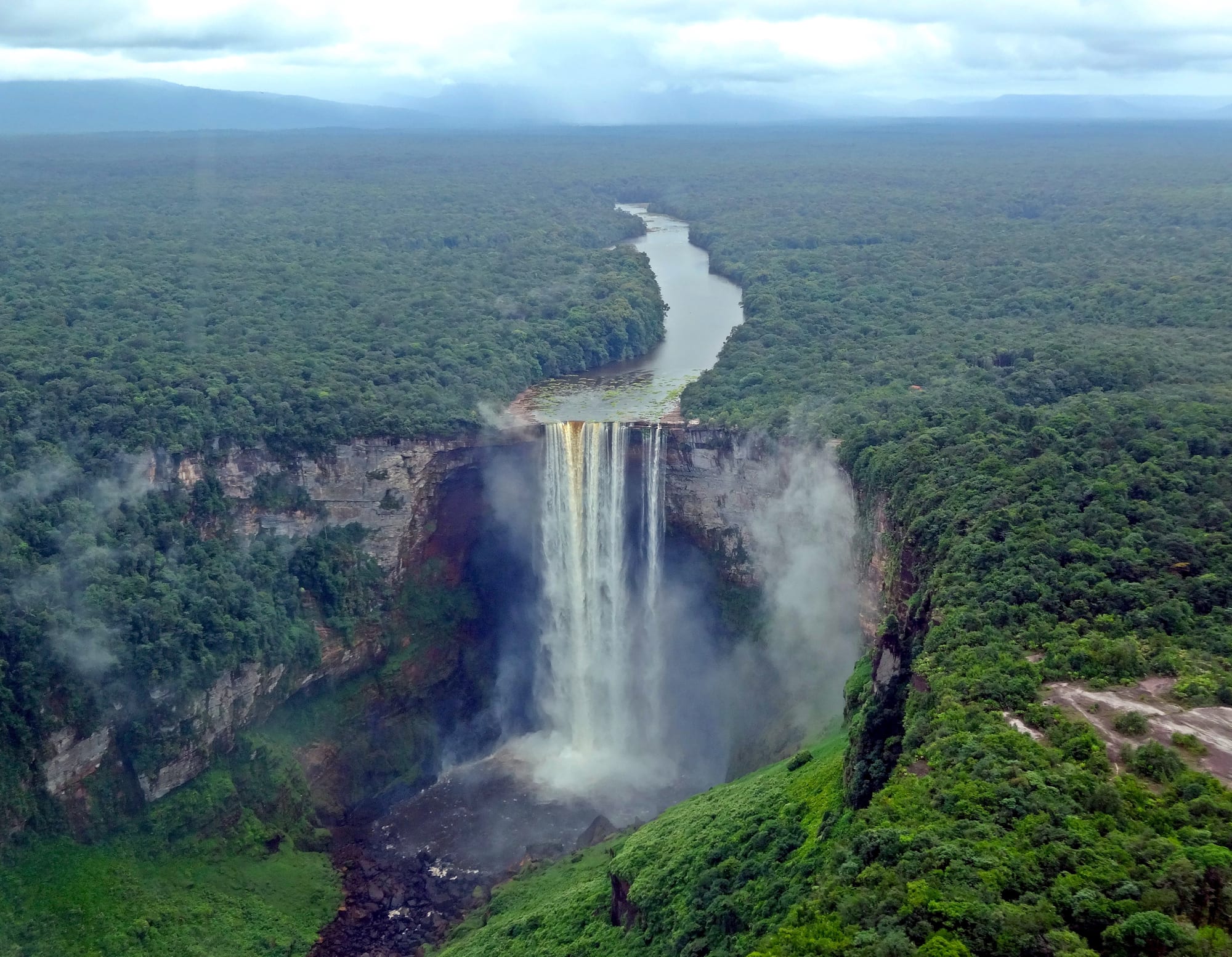
Kaieteur Falls is hard to get to, and it lies in a country that has only recently started trying to attract visitors. The falls stand in the middle of Guyana's rainforest, on the Potaro River, closer to the border with Brazil than to the Caribbean coast. No road reaches them. Almost everyone who sees them flies in on a small plane from the capital, Georgetown, for a few hours, and the alternative is a journey of days by road, river and steep trail. Guyana itself has a small tourist industry, which for years after independence its own government regarded with suspicion.
The comparison with Niagara needs a small correction. Kaieteur's single sheer drop measures 226 metres (741 feet), roughly four times the 57 metres (187 feet) of Niagara's Horseshoe Falls. Counting the steep cascades below, the total reaches 251 metres (822 feet), about four and a half times Niagara. Impressive, but not quite five.
A giant by any measure
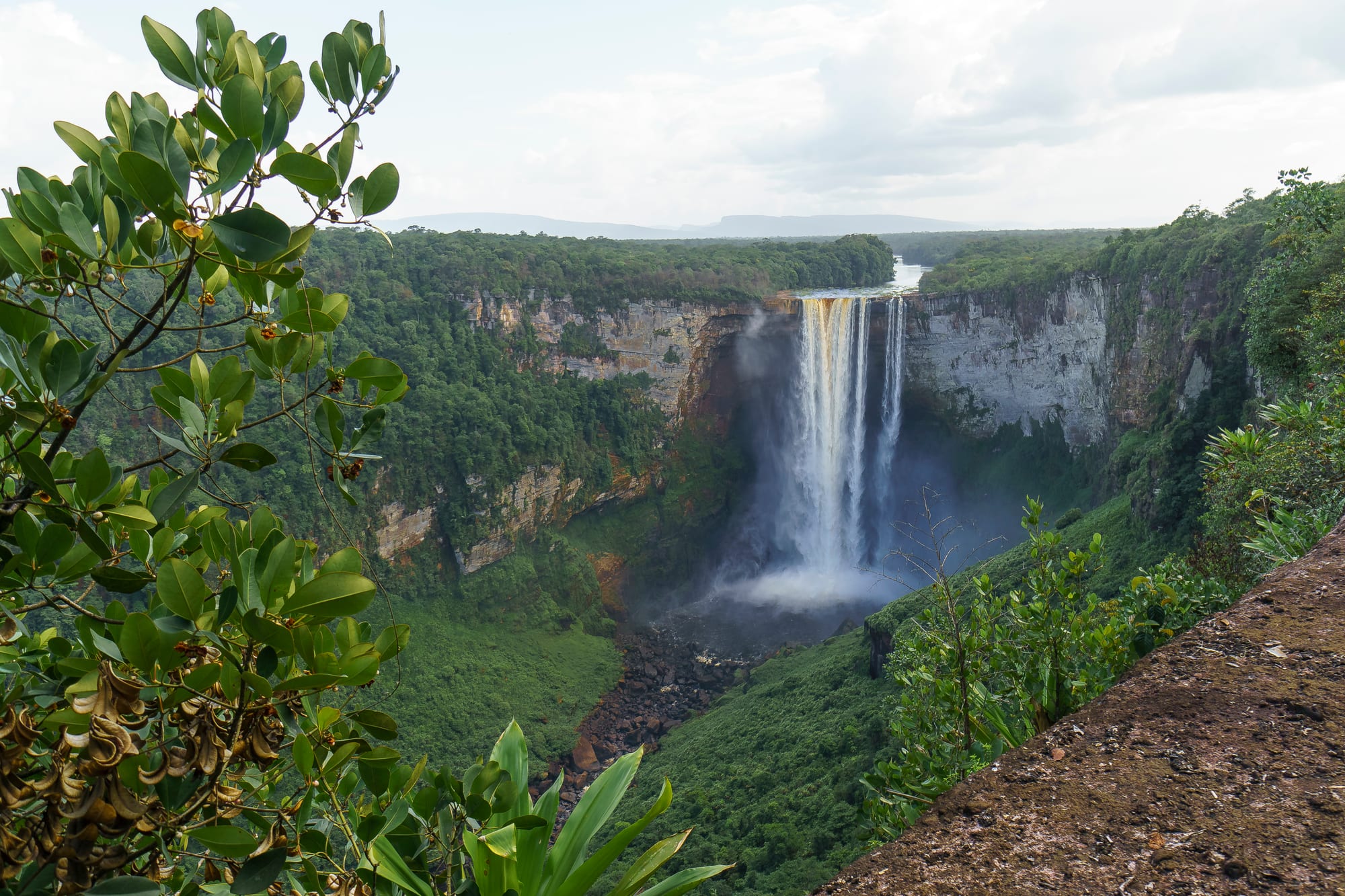
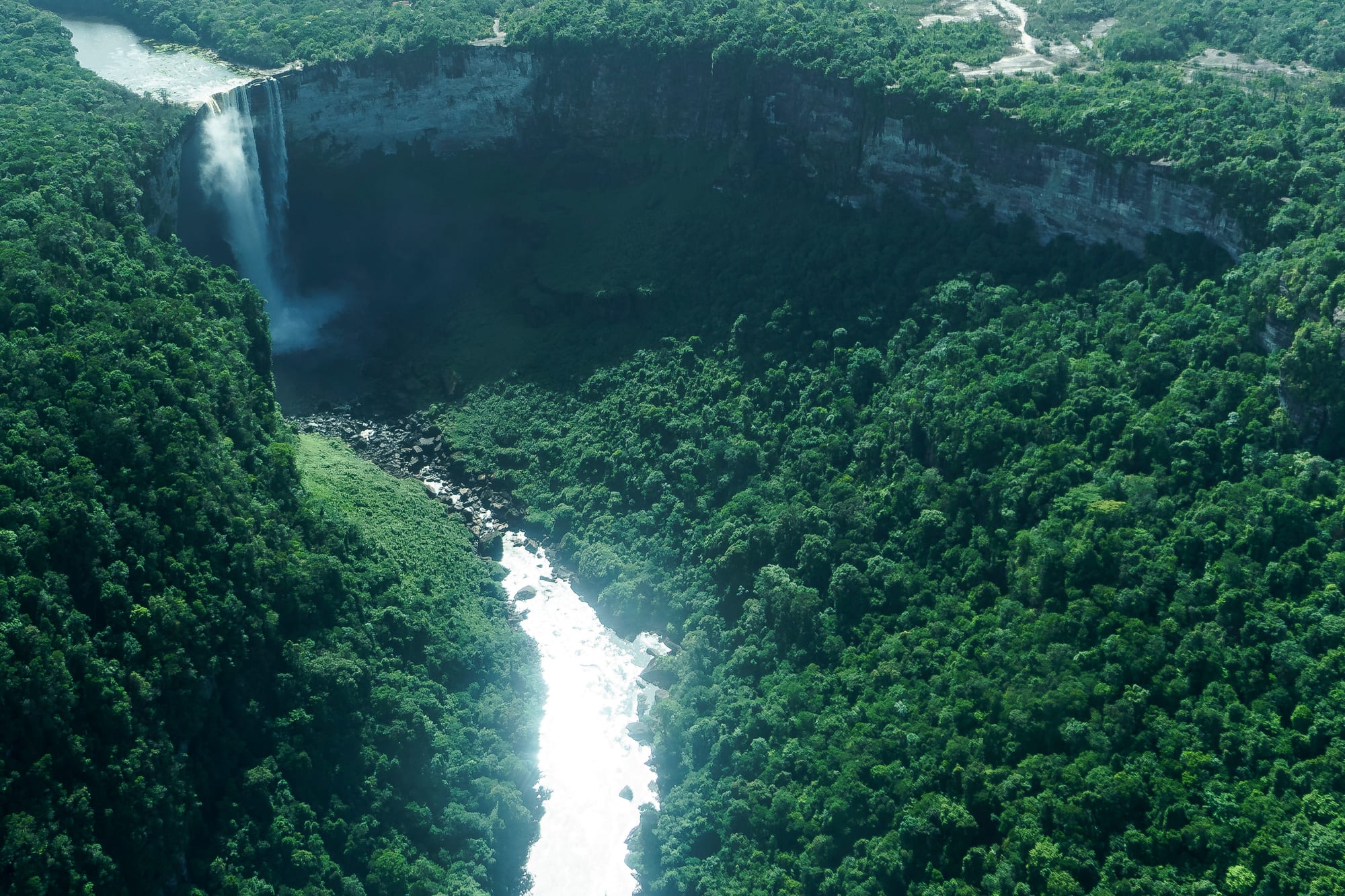
Kaieteur is not the tallest waterfall in the world, or even in its corner of South America: Angel Falls in neighbouring Venezuela is 979 metres high. What makes Kaieteur exceptional is the combination of height and water. The Potaro River pours over a cliff of sandstone and conglomerate (rock made of pebbles cemented together) at an average of 663 cubic metres a second, which makes it one of the most powerful single-drop waterfalls on Earth. It is about twice the height of Victoria Falls on the Zambia–Zimbabwe border.
Above the falls, the Potaro Plateau stretches away to the escarpment of the Pakaraima Mountains. Below them the river runs on through a deep gorge to join the Essequibo, Guyana's longest river.
Far from everywhere
Niagara Falls lies 27 kilometres from Buffalo and 69 kilometres from Toronto, between two towns that both bear its name, and receives more than 20 million visitors a year. Kaieteur lies deep in a country where, of 7,969 kilometres of highway, only 591 are paved.
Kaieteur has its own small airport, Kaieteur International, about a 15-minute walk from the top of the falls. Most visitors take a day tour in a small plane from Georgetown's Correia International Airport, formerly Ogle Airport. The flight takes about an hour each way, and planes usually go only when enough seats have been sold. The overland route is an expedition of several days by road and river, ending with a steep climb through the forest to the plateau.
The result is a natural wonder with very few people at it.
A country that kept tourists at arm's length
Guyana's history explains much of the rest. It is South America's only English-speaking country, a former British colony often thought of as culturally Caribbean, yet its tourist industry has always been small beside those of the Caribbean islands. After independence in 1966, national policy stressed self-reliance, and President Forbes Burnham called the tourist industry "parasitic" and harmful to social development.
Even now the industry is small. In 2018 tourism made up 0.58 per cent of Guyana's economy, against a world average of 7.87 per cent, and in 2020 only 18 businesses and 12 tour guides held licences from the Guyana Tourism Authority. Poor infrastructure and a perception of the country as dangerous have kept numbers down. The visitors who do come are mainly from North America and Britain, both home to large Guyanese communities, and they come chiefly for the rainforest. The oil industry's growth has begun to change the picture, encouraging new hotel building.
Known for centuries, discovered in 1870
The falls were never unknown to the people who live around them. The Indigenous nations of the area knew them long before any outsider, and the Patamona tell of an old man, a chief, who paddled over the falls in a sacrifice to save his people; the name is usually explained as "old man fall".
The first European to see them was Charles Barrington Brown, a Canadian-born geologist working as a government surveyor in British Guiana, in 1870. He came upon the falls alone, had no time to study them, and returned a year later to measure them, describing his travels in Canoe and Camp Life in British Guiana (1876). In 1929 the area became a national park, Guyana's first legally protected area. It covered only about 10 square kilometres until 1999, when it was enlarged to 630 square kilometres to protect the land and its wildlife from mining, a pressure that has not gone away.
Kaieteur has had its moments of fame. Evelyn Waugh wrote about it in his 1934 travel book Ninety-two Days, it appeared in David Attenborough's Life on Earth, and Werner Herzog made a documentary there, The White Diamond. But a place that takes a chartered flight to reach rarely becomes a household name.
Seeing it today
The falls flow all year, swelling after heavy rain. The park around them is home to the Guianan cock-of-the-rock, a bird with bright orange feathers and a fan-shaped crest, and swifts that nest in the rocks behind the falling water.