Attractions & Natural Wonders · Djibouti
Why is Djibouti's Lake Assal saltier than the Dead Sea?
Seawater seeps underground into a scorching basin 155 metres below sea level, and the sun and wind boil it down with almost no fresh water to dilute it.
By Globeway Editorial · 2 November 2026
The short answer
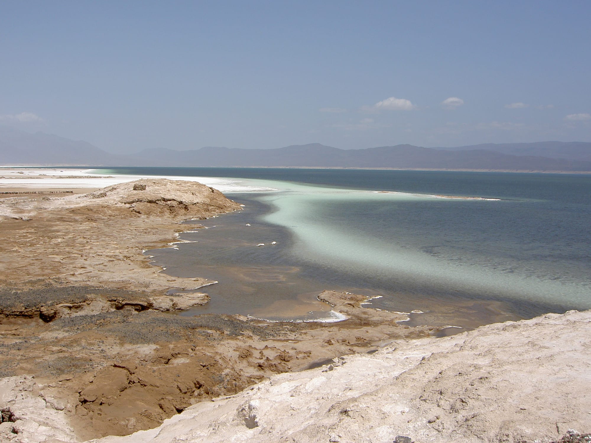
Lake Assal is saltier than the Dead Sea because it is filled almost entirely by seawater and then boiled down by the sun. The lake lies 155 metres below sea level in a volcanic rift in central Djibouti. Water from the nearby Gulf of Tadjoura seeps into it underground through cracks in the rock, but nothing ever flows out, and in one of the hottest regions on Earth the water evaporates as fast as it arrives. What is left behind is salt, and the brine grows ever more concentrated.
The difference is real but small. Lake Assal's water averages about 34.8 per cent salt, against 34.2 per cent for the Dead Sea, roughly ten times saltier than the ocean in both cases. Neither is the saltiest water on Earth: Gaet'ale Pond in Ethiopia's Danakil Depression, not far away, reaches about 43 per cent. Lake Assal was once thought to be the saltiest lake outside Antarctica.
A lake in a tearing continent
Lake Assal sits in the Afar Triangle, a low-lying region where three of the great cracks in the Earth's crust meet: the rifts that formed the Red Sea and the Gulf of Aden, and the East African Rift. Here the Arabian plate is pulling away to the north-east at about 20 millimetres a year, while the Somali plate drifts slowly east. The pulling apart has created a deep depression. The lake's surface is 155 metres below sea level, making it the lowest point on land in Africa.
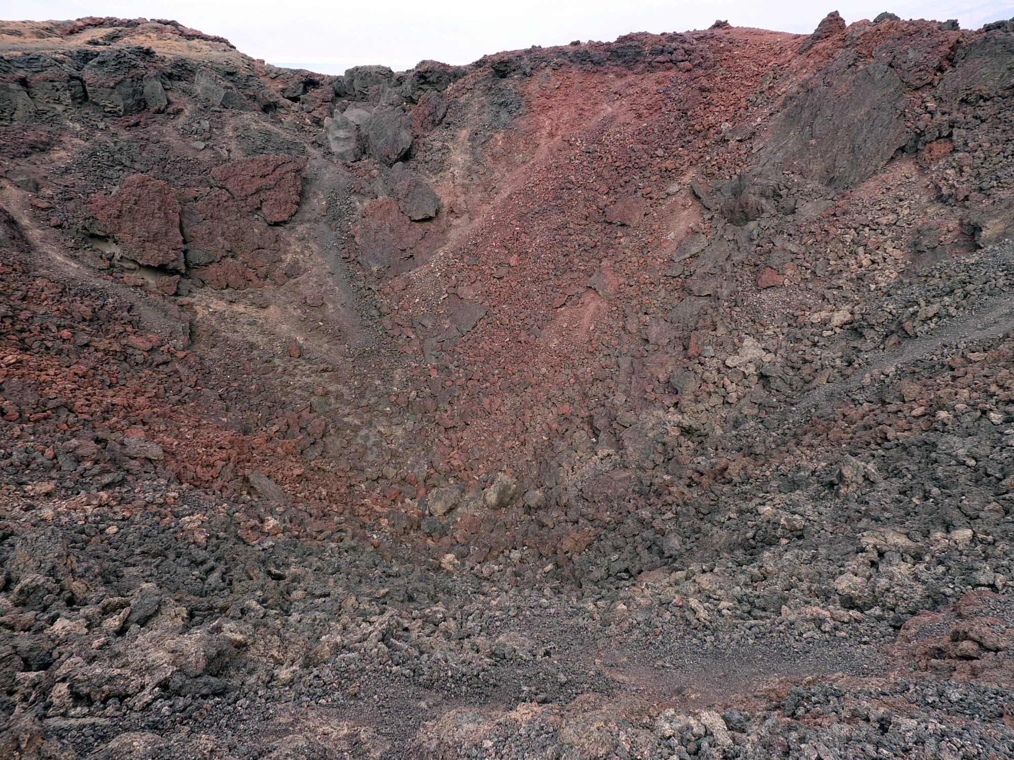
The rift around the lake is young and active. In November 1978, after an earthquake, a 500-metre crack opened and the Ardoukoba volcano was born, about 3 kilometres from the lake shore, after some 3,000 years of volcanic quiet. Its lava flowed towards both Lake Assal and the sea. Geologists describe the area as a continental rift that will eventually become an arm of the Red Sea. Some have suggested that volcanic upheavals long ago cut the lake off from the Gulf of Tadjoura, leaving a sealed basin far below the level of the water next door.
The sea that seeps in
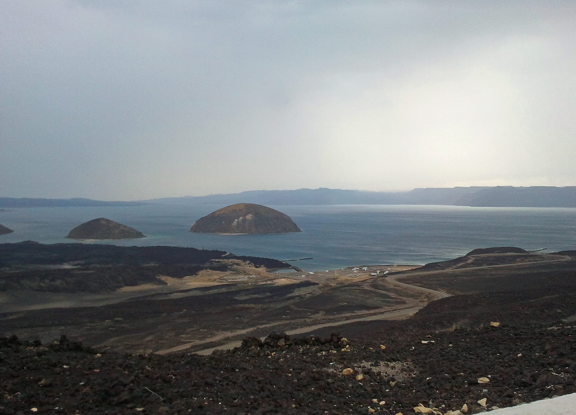
No defined streams feed Lake Assal. Rain is sporadic and runs in brief flash floods that last a few hours or days. Instead, its main supply comes from Ghoubbet el Kharab, a deep bay of the Gulf of Tadjoura about 10 kilometres to the south-east. Because the lake sits far below the sea, seawater is drawn by gravity through a fissured channel about 5 kilometres long in the basalt hills between them, emerging as hot springs on the lake's eastern side.
That spring water carries about 39 grams of salt per litre, close to ordinary seawater. An estimated 5,000 to 8,000 litres flow in every second. In effect, the lake is a natural salt pan fed directly by the ocean, and the only way water can leave is upwards, into the air.
Sun, wind and a salt engine
The climate does the rest. Summer temperatures reach 52 °C from May to September, and even the cooler months stay around 34 °C. Hot, dry winds blow across the basin, including the Khamsin from the north-west. Every year an estimated 460 million cubic metres of water evaporate from the lake, more than the roughly 400 million cubic metres it holds at any one time. The inflow and the evaporation are said to be roughly in balance, but every litre that evaporates leaves its salt behind.
That salt has piled up for a very long time. On the west side of the lake, where the water has retreated, lies a brilliant white plain of crystallised salt covering 68 square kilometres and extending more than 60 metres deep. The liquid lake beside it covers 54 square kilometres and is shallow, about 7.4 metres deep on average and 40 metres at most. Its saltiness rises with depth, from about 277 grams per litre at the surface to about 398 grams per litre at 20 metres.
Two record-breaking lakes compared
The Dead Sea, bordered by Jordan, the West Bank and Israel, is the better known of the two. Its shores, about 440 metres below sea level, are the lowest land on Earth, and its salinity was measured at 34.2 per cent in 2011. Its surface water holds about 269 grams of salt per litre, rising to about 327 grams at 50 metres. Lake Assal holds about 277 grams at the surface and becomes saltier much faster with depth.
Both lakes are, in their own ways, nearly lifeless. In Lake Assal only bacteria thrive in the open water; a few small fish have been reported only near the hot spring where seawater enters.
Salt, caravans and visiting today
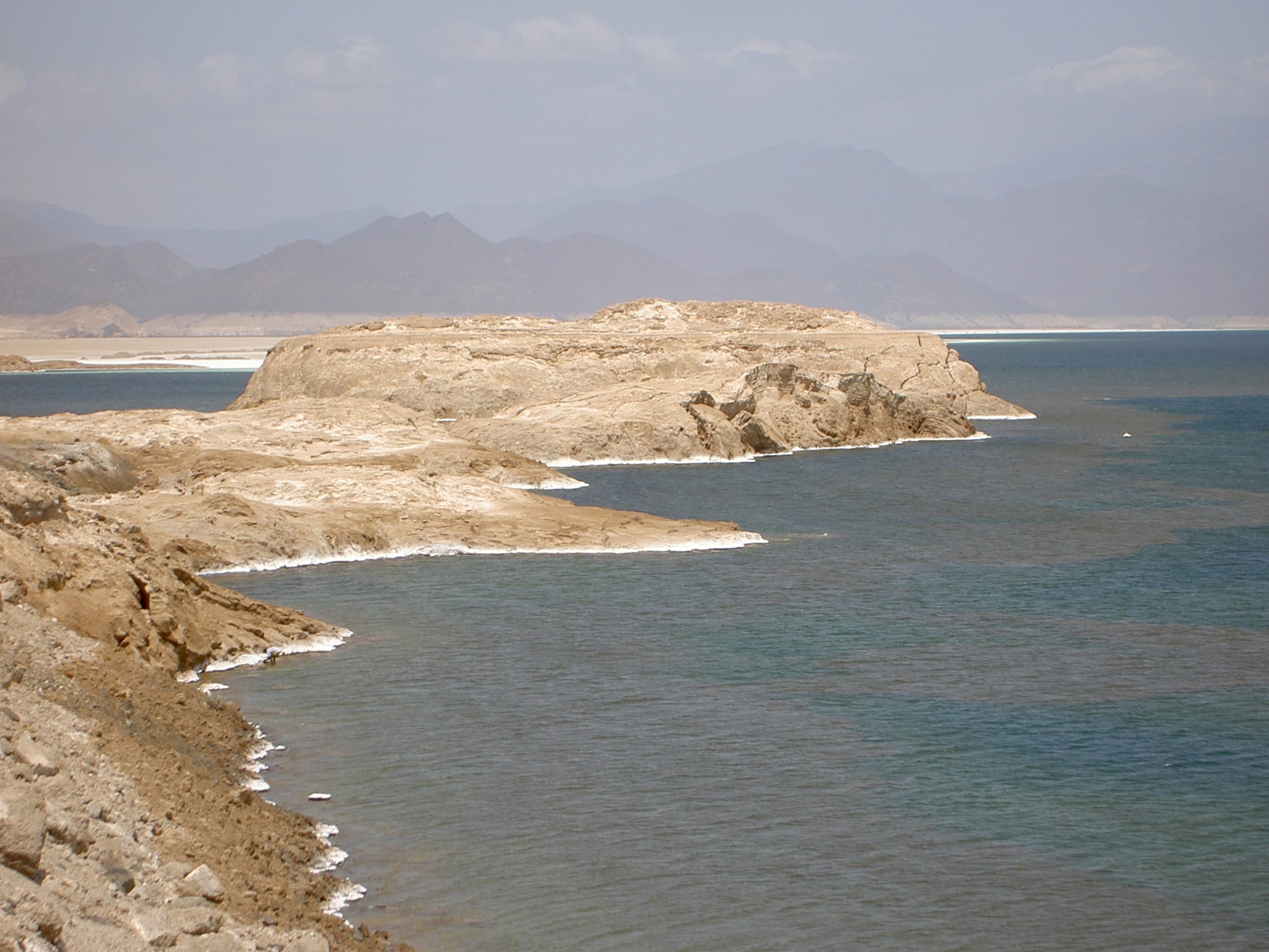
People have long valued the lake for its salt. Afar and Issa camel drivers cut salt from its banks and carried it along caravan routes into the Ethiopian highlands, trading it for sorghum, coffee, ivory and other goods. Small-scale commercial salt production began in 1988, followed by industrial mining, and families still wade into the lake to collect salt formed into small spheres, which are sorted by size and sold as Djibouti salt.
Lake Assal lies about 120 kilometres west of Djibouti City by a paved road. The water shifts colour through the day and looks emerald against the snow-white shore at midday, framed by black lava. The government has proposed the lake, together with the Ardoukoba volcano, as a UNESCO World Heritage Site.