Attractions & Natural Wonders · North Macedonia
Why is Lake Ohrid one of the oldest lakes in the world?
It sits in a slowly sinking crack in the Earth's crust, it is very deep, and it is fed by spring water that carries almost no mud, so it has never filled up.
By Globeway Editorial · 2 November 2026
The short answer
Most lakes are short-lived. They fill up with mud and sand carried in by rivers, or they dry out, and most of the world's lakes are less than 18,000 years old. Lake Ohrid, on the border between North Macedonia and Albania, has held water for more than a million years. Cores drilled through its bed put its age at about 1.36 million years, making it the oldest known lake still in existence in Europe.
It has lasted so long for three reasons. It sits in a rift, a block of the Earth's crust that is still slowly sinking, so its basin keeps deepening. It is very deep to begin with, reaching 288 metres. And about half of its water arrives through underground springs that have been filtered through limestone, so very little sediment washes in to fill it.
A lake in a crack in the crust
Lake Ohrid was not made by a glacier or a river. It lies in a graben, a long block of land that has dropped down between two faults as the crust is pulled apart. Around six million years ago the forces acting on this part of the Balkans changed from squeezing to stretching, and a chain of these sunken basins opened from north to south. Lake Ohrid and its neighbour Lake Prespa are the two largest in the chain, which geologists call a poorly developed rift valley.
That origin puts Ohrid in famous company. The world's other very old lakes, Lake Baikal in Siberia, Lake Tanganyika in East Africa, Lake Titicaca in the Andes and the Dead Sea, are also rift valley lakes of ancient origin. Baikal is the oldest of all, at 25 to 30 million years.
The rift beneath Ohrid is still active. Fresh fault scarps (small cliffs where the ground has slipped), stepped hillsides and displaced layers of soil can be seen around the shore, and moderate earthquakes are frequent. The strongest yet measured struck on 18 February 1911 with a magnitude of 6.6, destroying houses but killing no one. Each slip of the faults lets the floor of the basin sink a little further, and that continuing subsidence helps keep the lake from filling.
Why it never silted up
Every lake is slowly being buried. Rivers carry mud, sand and gravel into it, and most lakes fill up with that sediment fairly quickly in geological terms. Lake Ohrid is being filled at its northern end by its modest rivers, but the lake is so deep, with an average depth of 155 metres, and its floor sinks so steadily, that the sediment has never caught up.
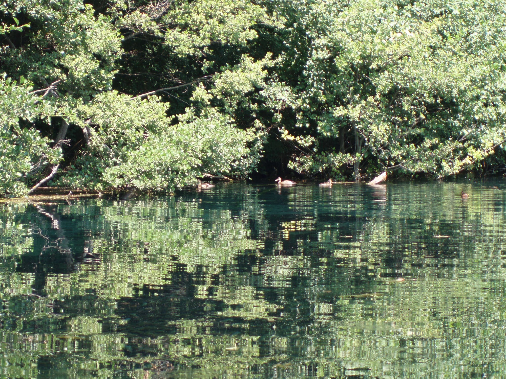
The other half of the secret is where the water comes from. About 50 per cent of the inflow emerges from springs along the eastern shore and from beneath the lake's surface. Much of that water starts in Lake Prespa, about 10 kilometres to the south-east and roughly 150 metres higher up. It seeps out of Prespa and trickles through the karst, limestone riddled with cracks and channels by dissolving rainwater, before surfacing in Ohrid. On the way it is filtered almost clean, so it carries very little sediment.
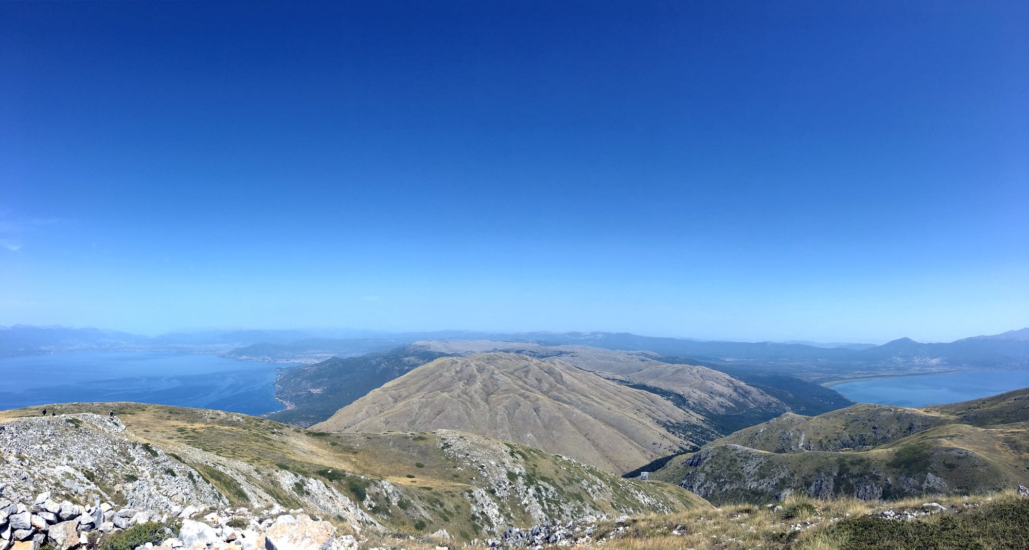
That filtered spring water is also why Ohrid is so clear. The lake is low in nutrients, and on good days it is possible to see as far as 22 metres down. Water stays in the lake for a long time, around 70 years on average, before it leaves by evaporation or through its only outlet, the Black Drin river, which flows north into Albania and on to the Adriatic.
Evolution in an island of water
A lake that has existed for over a million years becomes a laboratory of evolution. Plants and animals cut off in it have had time to change into species found nowhere else. Lake Ohrid has more than 200 endemic species, meaning species that live only there, and they cover the whole food chain: algae, plants, tiny floating animals, fish and a remarkable variety of creatures on the lake bed, especially snails, crustaceans, sponges and flatworms.
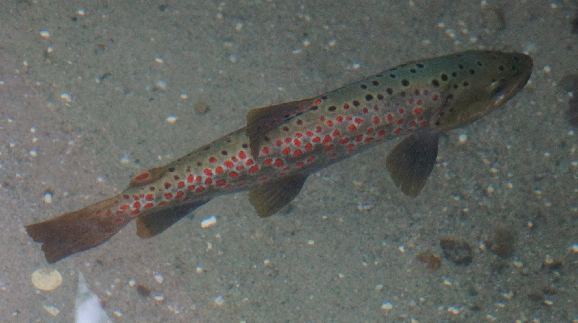
About a third of its 21 native fish species and almost 80 per cent of its 72 species of molluscs are endemic. The best known is the Ohrid trout, a speckled fish prized in Macedonian and Albanian cooking, alongside a second endemic trout called the belvica. Scientists think the native species are so well suited to the lake's cold, clean, oxygen-rich water and low nutrients that introduced species have struggled to gain a foothold.
A million years in the mud
Because the lake has never dried out or filled in, its bed holds an unbroken record of its past. The sediment layers run hundreds of metres deep, and before the deep drilling, estimates of the lake's age ran to several million years. The cores narrowed that to about 1.36 million years, and they have become an archive of climate and vegetation in the region through ice ages and warm periods. They have even shown how forests helped hold soil in place when the climate changed.
That archive also records the present. Phosphorus, a nutrient that comes largely from household wastewater, has risen about three and a half times in the sediment over the past century. More nutrients mean murkier water and less oxygen in the depths, the two conditions the endemic species most depend on. Catches of the endemic trout have fallen sharply, and in 2019 UNESCO's World Heritage Centre listed pollution, falling water levels, tourism pressure and uncontrolled building among the threats to the lake.
Seeing the old lake today
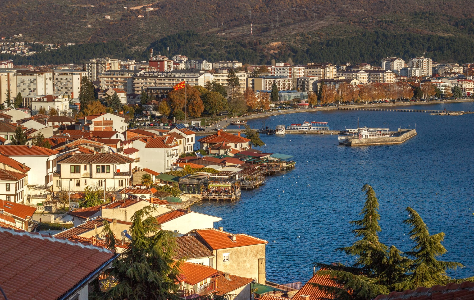
Lake Ohrid covers 358 square kilometres, with about two thirds in North Macedonia and one third in Albania. The towns of Ohrid and Struga stand on the Macedonian shore and Pogradec on the Albanian side. The Macedonian side became a UNESCO World Heritage Site in 1979, extended to the town of Ohrid in 1980 and to the Albanian shore in 2019.
The ancient plumbing of the lake is easiest to see at the springs beside the Monastery of Saint Naum, where water that has travelled underground from Prespa wells up into clear pools. The Galičica National Park, on the mountain ridge between the two lakes, looks down on both.