Attractions & Natural Wonders · Tajikistan
Why is the Pamir Highway said to cross the roof of the world?
The nickname belongs to the Pamir Mountains, a local name for a high, cold knot of ranges that the highway crosses at up to 4,655 metres.
By Globeway Editorial · 2 November 2026
The short answer
Strictly, the name belongs to the mountains rather than the road. "Roof of the World" is the old title of the Pamirs, a translation of the local expression Bam-i-Dunya, which British travellers picked up in the 19th century and spread through their books and maps. It describes a region of high, flat, treeless plateaus and valleys ringed by peaks of more than 7,000 metres, where several of Asia's greatest mountain ranges meet.
The Pamir Highway earns the label by running across the top of it. On its way between Tajikistan and Kyrgyzstan the road crosses a string of passes above 4,000 metres, reaches 4,655 metres (15,272 ft) at the Ak-Baital Pass, and passes Murghab, at 3,650 metres the highest town in Tajikistan. It is often described as the second-highest international highway in the world, so for much of its length it really is a road along the roof.
A local phrase that reached the maps
The British explorer John Wood, who travelled through the region in 1838, recorded Bam-i-Duniah, "the Roof of the World", as a native expression, probably from the Wakhi language. Wood was the first modern European traveller to reach the Great Pamir, and the phrase stuck. In 1876 another British traveller, Sir Thomas Edward Gordon, used it as the title of his book, noting that the elevated Pamir region had long appeared on maps under that name.
Reference books followed. The 1911 Encyclopaedia Britannica described the Pamirs as the Bam-i-Dunya, "the Roof of the World", and the 1942 Columbia Encyclopedia gave the phrase as Persian. French and German encyclopedias gave their own versions, le toit du monde and das Dach der Welt. People in Gorno-Badakhshan, the Tajik region where much of the range lies, still use the nickname for their mountains.
Later the title wandered. As Western interest shifted towards Tibet, "Roof of the World" was applied more and more often to the Tibetan Plateau, and occasionally even to Mount Everest. The original use, for the Pamirs, has never died out.
Where Asia's great ranges meet
The Pamirs deserve the image. They sit at a junction of mountain systems, where they meet the Tian Shan, the Karakoram, the Kunlun, the Hindu Kush and the Himalayas. A German encyclopedia of the 1930s explained the nickname exactly this way, calling the Pamir highlands the nodal point of those ranges and therefore the roof of the world.
The heights are immense. Ismoil Somoni Peak, the highest summit in the Pamirs' core, reaches 7,495 metres (24,590 ft); it was called Stalin Peak from 1932 to 1962 and Communism Peak until 1998. Ibn Sina Peak, still officially Lenin Peak in Kyrgyzstan, reaches 7,134 metres, and in the eastern Pamirs China's Kongur Tagh rises to 7,649 metres. About a tenth of the range is covered by glaciers, including the 77-kilometre Vanch-Yakh Glacier, the longest outside the polar regions.
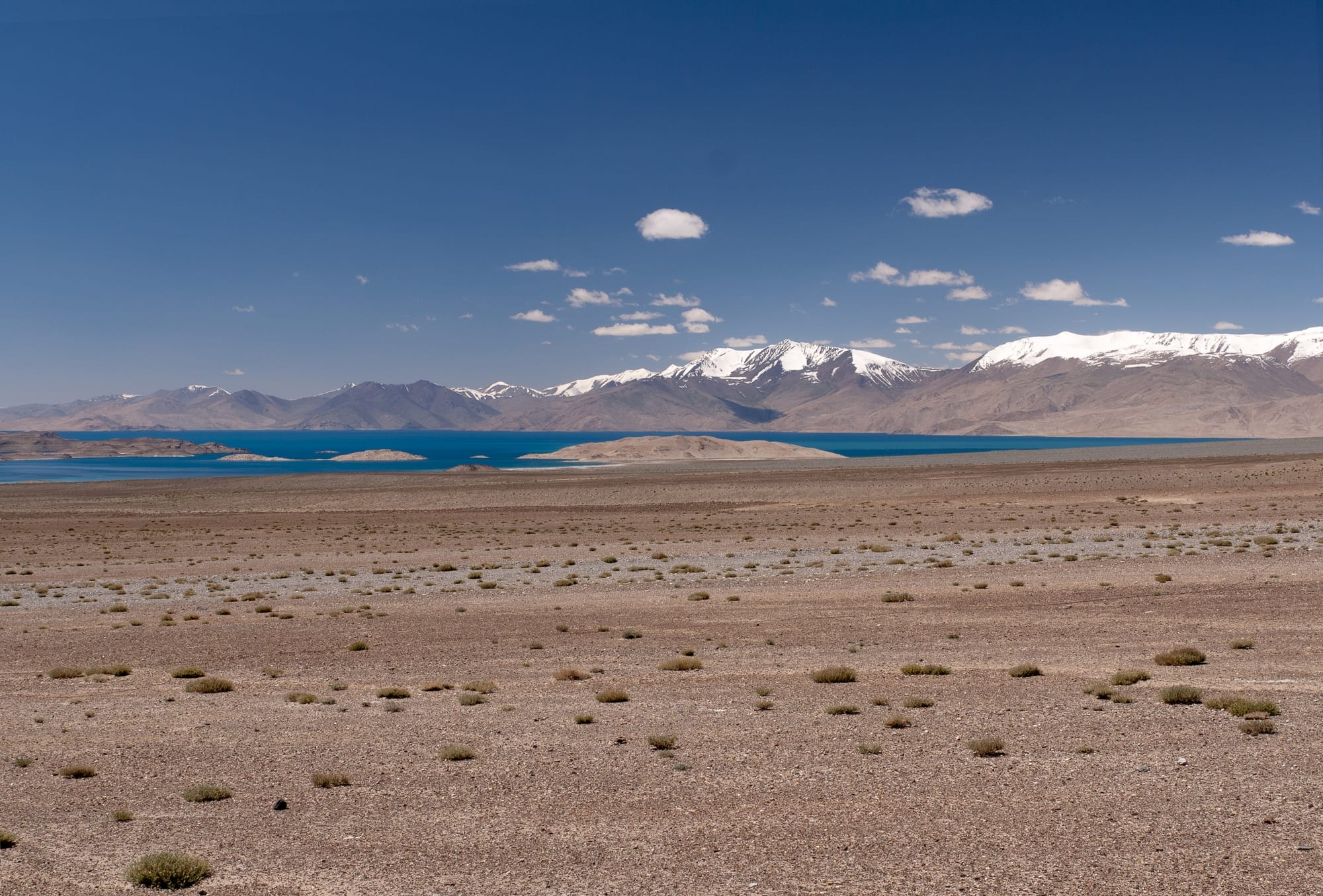
Yet what gives the Pamirs their roof-like character is less the peaks than the level ground between them. In geography, a pamir is a flat plateau or broad U-shaped valley left behind when a glacier melts, surrounded by mountains. These high plains, common in the east of the region, are used as summer pasture, giving the eastern Pamirs the look of a raised floor between the peaks.
A road built across the top
There are only a few practical ways through mountains this high, so the route the highway follows has been used for thousands of years and formed a link in the Silk Road. The modern road is a product of empire. At the end of the 19th century Russia and Britain were competing for influence in Central Asia, the rivalry known as the Great Game, and the Russian army built a strategic road over the Alay Range to move troops towards the Pamirs. In 1893 Russian troops built a fort, the Pamirsky Post, at Murghab.
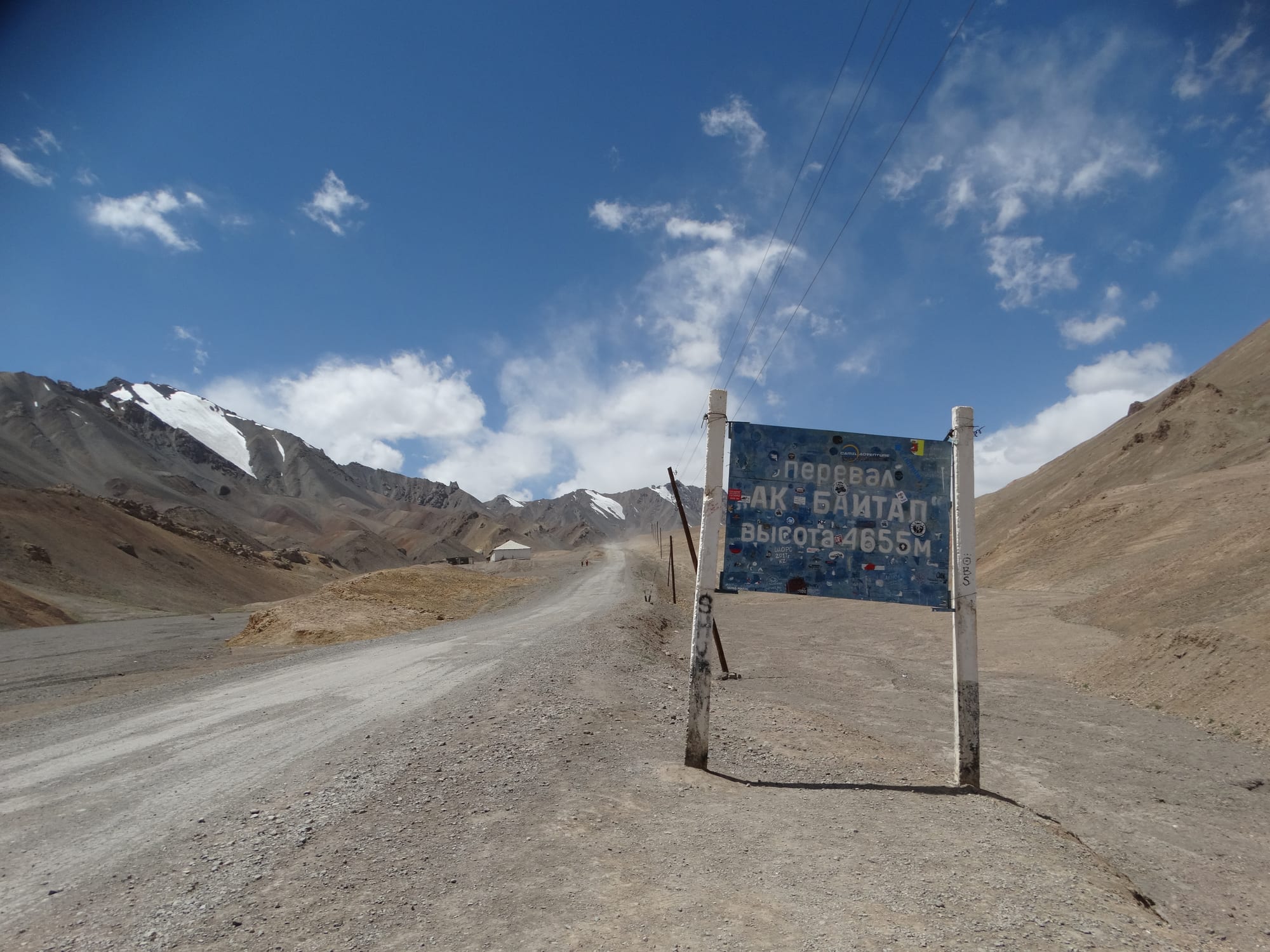
This is the highest point of the whole highway, on the stretch between Murghab and Lake Karakul.
Most of the road was built by the Soviet Union in the 1930s. In 1937 a highway linking Osh, in Kyrgyzstan, with Khorog, in Tajikistan, was completed, and in 1941 it was named after Joseph Stalin. Today the route, more than 1,200 kilometres long by some definitions, is the only continuous road through the mountains and the main supply line for Gorno-Badakhshan, a region covering nearly 45 per cent of Tajikistan but home to only about 2 per cent of its people. In the 2000s it was also linked to China and the Karakoram Highway.
Life in thin, cold air
The altitude shapes everything. Much of the range is under snow for most of the year; winters are long and bitterly cold, summers short and cool, and only about 130 millimetres of rain and snow fall in a year, enough for grassland but few trees. At Murghab the average temperature across the year is −3.9 °C, falling to −18.7 °C in January and rising only to 8.7 °C in July.
The road suffers too. Apart from its stretches in Kyrgyzstan and near Dushanbe, it is heavily damaged along most of its length by erosion, earthquakes, landslides and avalanches, and in places it is still unpaved.
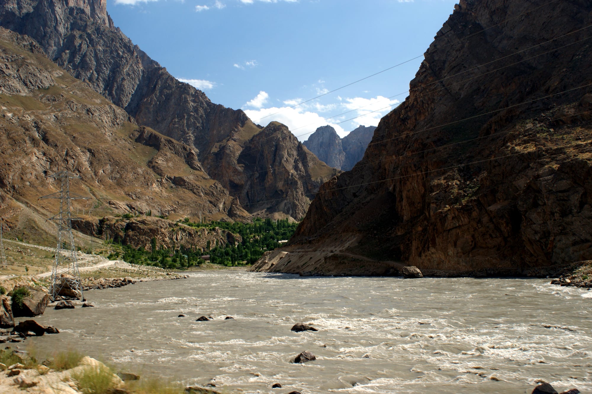
In 1873 Britain and Russia agreed that the Panj would mark the Afghan frontier.
Crossing the roof today
The journey changes character along the way. In the west the highway runs for long stretches beside the Panj River, with Afghanistan just across the water, before reaching Khorog, the regional capital. East of Khorog it climbs out of the gorges onto the high plateau, crossing passes above 4,000 metres to Murghab, a town of just under 7,500 people. Beyond Ak-Baital it descends past Lake Karakul, 25 kilometres across and lying in an impact crater, before the Kyzylart Pass, at more than 4,200 metres, leads into Kyrgyzstan.
Gorno-Badakhshan has also seen repeated unrest, with violent clashes in 2012, 2014, 2018, 2021 and 2022, and a steadily growing military presence. Even so, tourism expanded quickly in the 2010s, and 2013 was its most successful year to that point. For those who make the crossing, the old name needs no explaining.