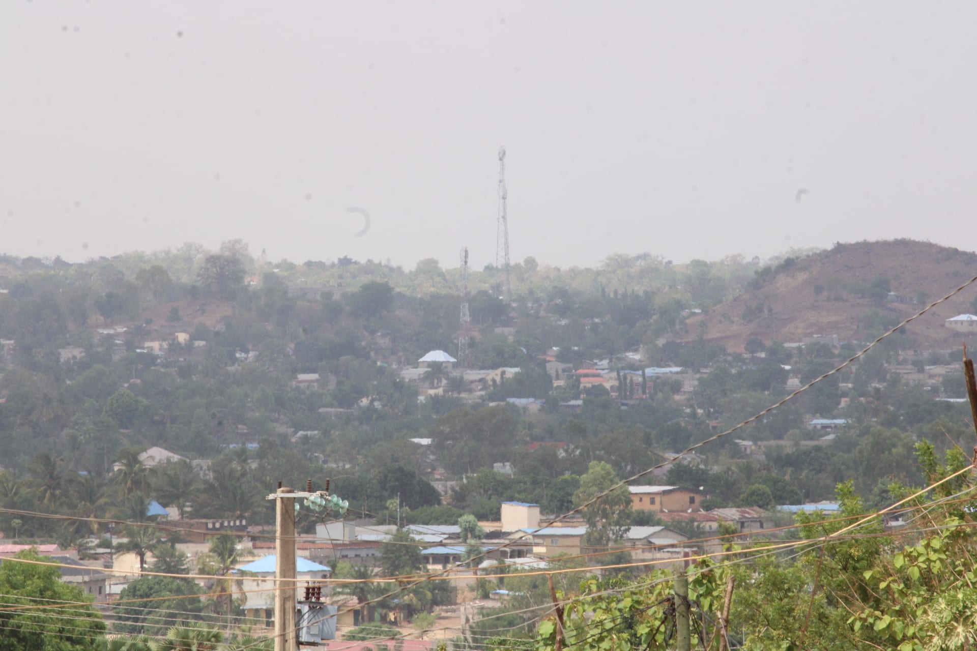
A hazy view over tree-filled streets and low buildings spreading towards green hills and a radio mast

Togo

Kara & the North

An overview of the town of Kara and its trees, in northern Togo. (Hermannkass / Wikimedia Commons · CC BY-SA 4.0)

Northern Togo, from the terraced Kabye hills around Kara to the tower-house villages of the Koutammakou and the flat savanna of the Savanes region around Dapaong on the Burkina Faso border — a land of initiation festivals, earthen architecture and millet farming, whose far north has been affected by militant attacks spreading from the Sahel.

Explore Kara & the North

History

The north's hills and valleys long served as refuges. The Kabye settled the steep hills around what is now Kara, farming them intensively in stone terraces, while the Batammariba built their fortified tower-houses in the Koutammakou, on the border with Benin, and resisted raids from their neighbours. In the plains to the north lived the Moba and Gourma, and the Anufo (Chakosi) settled around Mango. Bassar, to the south-west of Kara, was an important centre of iron smelting and trade.

German forces pushed north in the 1890s and met resistance from several northern peoples. The Kabye hills were crowded, and many Kabye have long worked as migrant labourers elsewhere in the country.

After independence the north gained political weight. Gnassingbé Eyadéma, who took power in 1967, was from Pya, near Kara, and under his rule Kara grew rapidly from the 1970s into a regional capital. The Kabye, Togo's second-largest ethnic group, are strongly represented in the government and the army. The Savanes region, on the border with Burkina Faso, has been hit by jihadist attacks linked to the war in the Sahel, and the government declared a state of emergency there in June 2022, extending it several times.

Culture & Customs

Kabye is the main language of the Kara region and one of Togo's two national languages, with Ewe, while French is the official language; Tem, Lamba, Nawdm, Ditammari, Moba, Gourma and Anufo are among the others spoken in the north. Traditional religion remains strong, alongside Christianity and Islam, which is the majority faith in trading towns such as Bafilo.

The Kabye mark the stages of life through initiation. The Evala, held each July, sees young men wrestle in a series of bouts that mark their passage to adulthood, while the Akpema is the equivalent rite for young women. Among the Batammariba, the takienta — a two-storey earthen house with granaries, sleeping rooms and shrines — is itself a sacred space, and building one is a communal act, with the form linked to beliefs about the family and the ancestors.

Crafts include the cotton weaving of Bafilo and the ironworking tradition of the Bassar country, which lasted into the mid-20th century. Markets rotate between villages on fixed days.

Daily Life

Kara, with about 95,000 people in 2010, is the north's main city, a regional capital with a university founded in 2004. Niamtougou, Bafilo, Bassar, Kandé, Mango and Dapaong are the other main towns, and most people live in farming villages.

The economy is farming: sorghum, millet, maize and yams, with cotton as the main cash crop in the Savanes, groundnuts, and cattle in the drier north. Women gather shea nuts and néré seeds. Many young people migrate south to Lomé or abroad, and the region remains poorer than the coast.

Life follows the farming season: busy during the rains, when fields are planted, and slower in the dry season, when markets, funerals and festivals fill the calendar. In the Savanes, insecurity has displaced people from villages near the border, and access to fields and markets has been disrupted.

Food

The staple is pâte, a stiff dough of sorghum, millet or maize flour, eaten with sauces of leaves, okra or groundnut, often seasoned with fermented néré seeds, a pungent seasoning used across West Africa. Yams are grown in quantity around Bassar and are pounded into fufu or boiled.

Guinea fowl, goat and beef are grilled or cooked in sauces for festivals, and roadside grills in Kara sell brochettes of meat. Shea butter is used for cooking in many villages.

Tchoukoutou, a millet or sorghum beer brewed by women and served in calabashes, is the region's drink and part of every celebration; in Muslim towns, sweet millet drinks and bissap are more common.

Attractions & Natural Wonders

The Koutammakou, north of Kandé on the border with Benin, is the north's great sight: a UNESCO World Heritage cultural landscape of takienta tower-houses scattered among fields and shrines, where local guides lead visits to inhabited houses. Kara itself is a base, with its market and the surrounding Kabye hills, where stone-terraced fields and villages of round houses can be explored on foot, and where the Evala wrestling is held.

South of Kara, the Fazao-Malfakassa National Park covers wooded hills and savanna along the line between the Centrale and Kara regions. It is Togo's largest park, but wildlife is sparse and visitor facilities are limited. Bassar and Bafilo are small towns on the edge of the hills.

In the far north, Dapaong sits in the open savanna of the Savanes region, with baobabs, millet fields and rocky outcrops, and the cave granaries of Nok nearby. Because of the security situation, several governments advise against travel to the region.

Cities in Kara & the North

Planning basics

Budget

The north is cheaper than Lomé, with simple hotels and auberges in Kara, Kandé and Dapaong and very cheap market food. The main expense is transport: the long road from Lomé, a hired car with driver for the Koutammakou, and the fees for village guides and visits, which are paid to the community.

Daily Budget Midrange
USD 60–130 (the better hotels in Kara, a hired car with driver, guided visits)
Daily Budget Shoestring
USD 20–45 (auberge, market food, bush taxis and zémidjans)

Carry enough cash from Kara, since cash machines are scarce beyond the regional towns.

Safety

Kara and the Koutammakou are generally calm. The Savanes region is different: jihadist groups linked to the war in the Sahel have carried out attacks on soldiers and civilians, mainly in Kpendjal prefecture, and a state of emergency declared there in June 2022 has been extended several times. Road accidents on the highway are a risk everywhere.

Avoid the Savanes region on the Burkina Faso border, travel only by day on the highway, and use local guides in the Koutammakou. Check current official travel advice before travelling.

Climate

Unlike the south, the north has a single rainy season, from about May to October, followed by a long dry season. The Harmattan brings dust and cool nights from about December to February, and March and April are extremely hot before the rains. The Savanes region around Dapaong is the driest and hottest part of Togo.

Summer
the rains, about May to October: 23–32°C, humid, with heavy storms and muddy tracks
Winter
the Harmattan, about December to February: 17–35°C, dusty and hazy

Transportation

Kara lies on Togo's main north–south highway, about 420 km by road from Lomé, and the road continues to Kandé, Mango, Dapaong and the Burkina Faso border. Bush taxis and minibuses run the highway, and zémidjans reach the villages. The Koutammakou is reached by tracks from Kandé, and a hired car or motorbike with a guide is the practical way to visit. Niamtougou, near Kara, has an airport with little traffic.

Break the journey from Lomé at Atakpamé or Sokodé, and hire a local guide in Kandé for the Koutammakou.

Best Time to Visit

November to February is the most comfortable time, with passable roads to the Koutammakou, though the Harmattan haze dulls the light. The Kabye Evala wrestling festival is held around Kara in July, during the rains.