Attractions & Natural Wonders · Dominica
Dominica: Nine Attractions and Natural Wonders
The world's second-largest hot spring, a rainforest of 365 rivers, warm bubbles rising through a reef, and the homeland of the Eastern Caribbean's last Indigenous Kalinago
By Worldlore Editorial · 30 September 2026
The "Nature Island"
Dominica (not to be confused with the Dominican Republic) is a small, steep, volcanic island in the eastern Caribbean, still almost entirely covered in rainforest. It has few big resorts, no golden-sand mega-beaches, and few direct long-haul flights — and that is the point. It markets itself as the "Nature Island": nine potentially active volcanoes, hundreds of rivers, hot springs, and the region's best hiking. Hurricane Maria devastated it in 2017; it has rebuilt, with an explicit goal of becoming the world's first "climate-resilient" nation.
The nine below are almost all in the mountainous interior and the southwest. The dry season, roughly February to June, is best for hiking.
1. The Boiling Lake
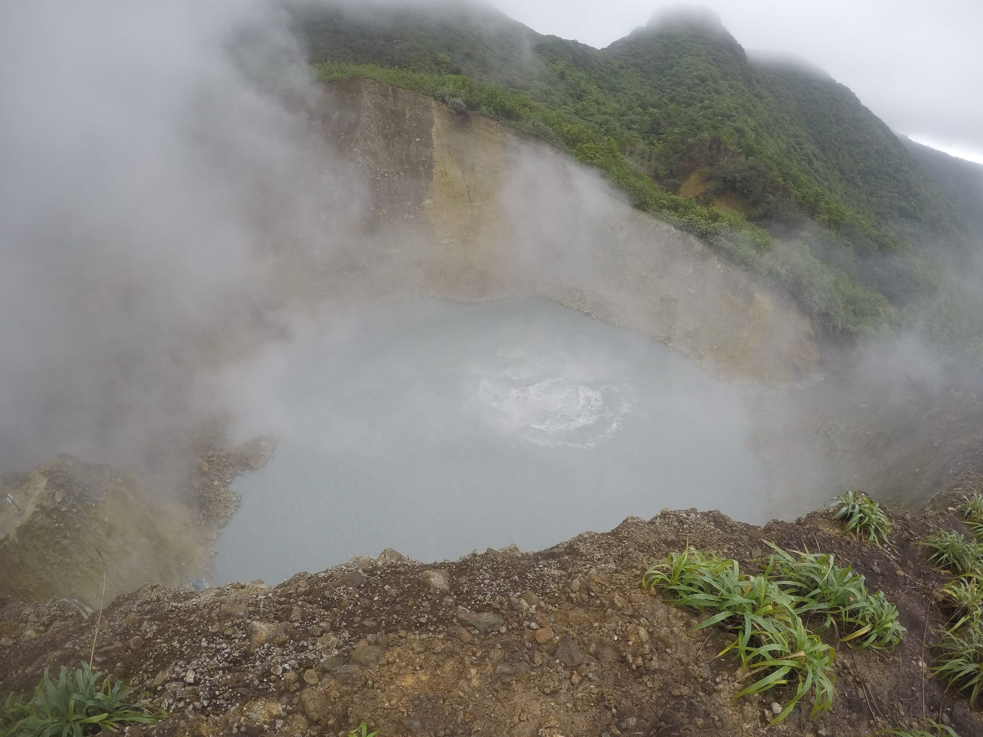
Dominica's signature sight is a lake of greyish water, some 60 to 75 metres across, that genuinely boils — a flooded fumarole heated by molten rock close below, churning at the centre and wreathed in steam. It is the second-largest hot lake in the world after one in New Zealand.
Reaching it is a demanding hike of most of a day, starting near Titou Gorge at Laudat, through rainforest, over a ridge, and across the sulphurous, fumarole-hissing Valley of Desolation. A guide is advised; the lake's level and activity vary, and it has drained and refilled before.
2. Trafalgar Falls and Titou Gorge
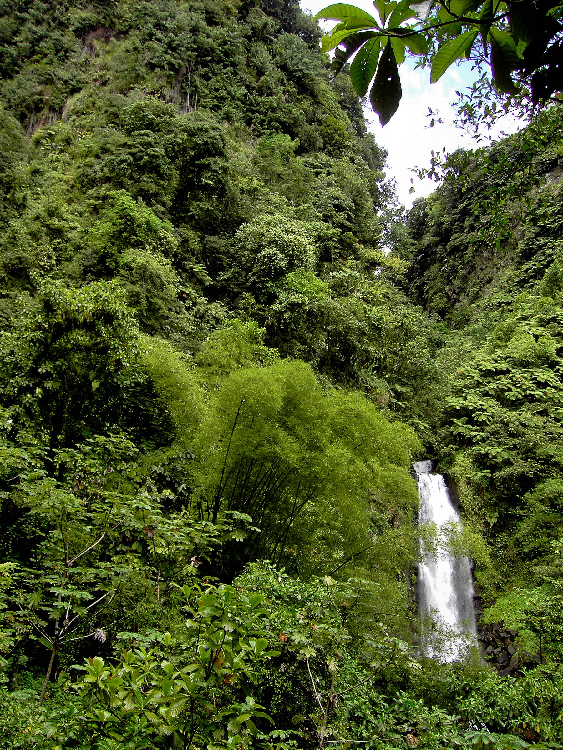
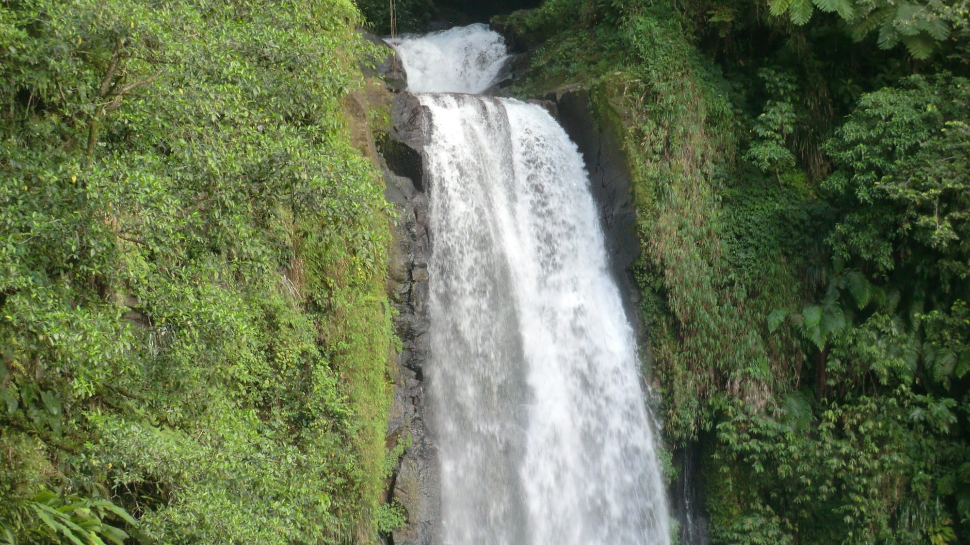
The twin Trafalgar Falls, ten minutes' walk from the road above Roseau, are the easiest of the island's big waterfalls to see: two cascades side by side, with hot springs close by, so that hot and cold water meet near the pools below.
Nearby, Titou Gorge is a narrow slot canyon for swimming, between mossy walls a few metres apart, with small waterfalls of hot and cold water — close to the start of the Boiling Lake trail.
3. The Emerald Pool
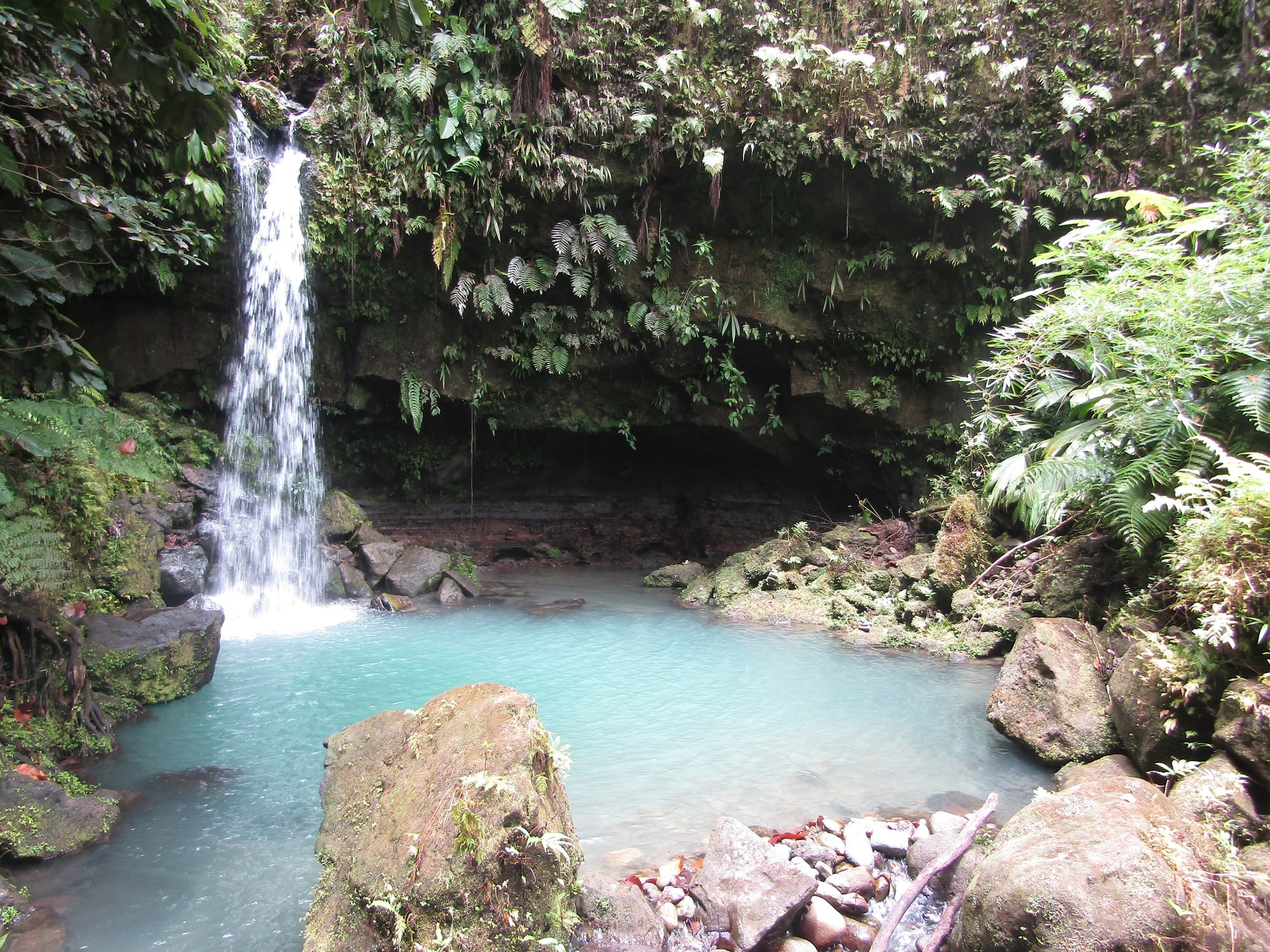
The Emerald Pool is the island's most accessible piece of rainforest scenery: a short trail leads to a small waterfall dropping into a clear green plunge pool in a fern-hung grotto. It sits within Morne Trois Pitons National Park, Dominica's UNESCO World Heritage Site, which protects the volcanic core of the island — five volcanoes, the Boiling Lake, the Valley of Desolation, freshwater lakes, and boiling springs.
Because the walk is easy and short, it can be busy when a cruise ship is in.
4. Middleham Falls
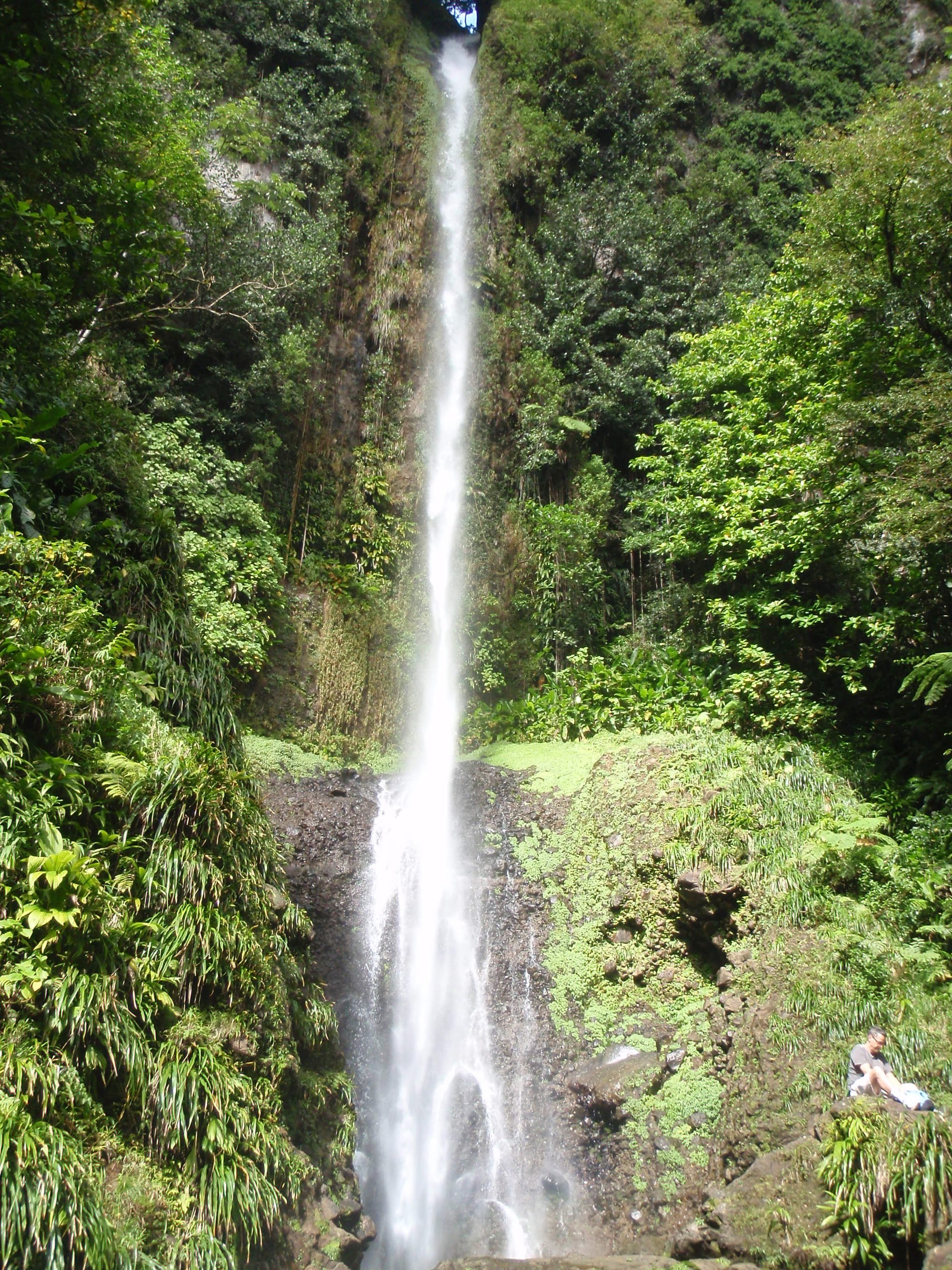
Middleham Falls, deep in the rainforest of the national park, is the island's tallest — a thin ribbon of water dropping about 60 metres off a cliff into a cold pool used for swimming. It is reached by a jungle trail over roots and boardwalk, through some of the densest forest on the island.
Trails in the area connect to the 115-mile Waitukubuli National Trail, which runs the length of Dominica.
5. Scotts Head and Champagne Reef
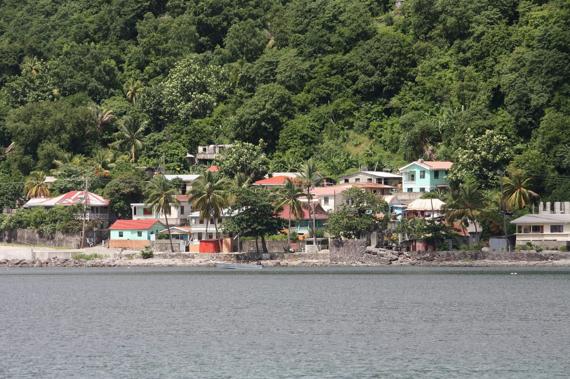
At the southern tip of the island, a slim isthmus links the mainland to a small headland (topped by the ruins of the 18th-century Fort Cachacrou), with the calm Caribbean on one side and the choppier Atlantic on the other. The partly submerged volcanic crater of Soufrière Bay just north is the heart of a marine reserve.
Its most famous spot is Champagne Reef, where volcanic gas bubbles up through the seabed and rises in streams around snorkellers — a genuinely strange sensation, over a reef of sponges and sea fans.
6. The Indian River
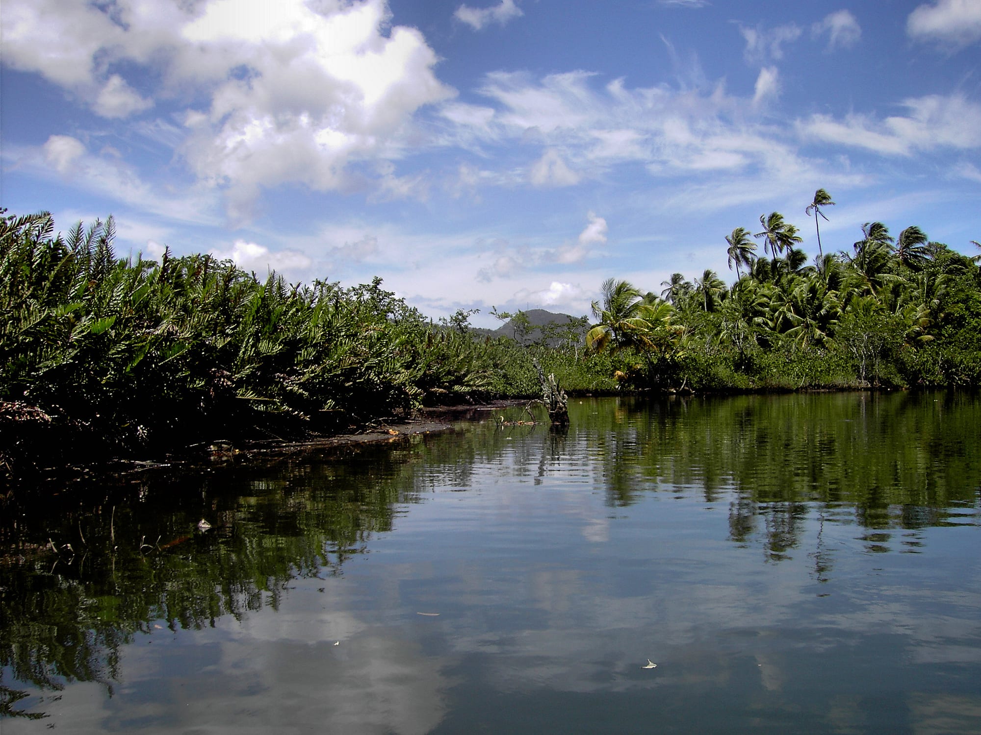
On the northwest coast near Portsmouth, the Indian River is a short, slow, tea-coloured river travelled by rowing boat between the dramatic buttress roots of swamp bloodwood trees, with herons, crabs, and iguanas along the banks. Scenes of Pirates of the Caribbean: Dead Man's Chest were filmed on the river.
It is a gentle hour, best in the early morning for the birds and the light.
7. The Kalinago Territory
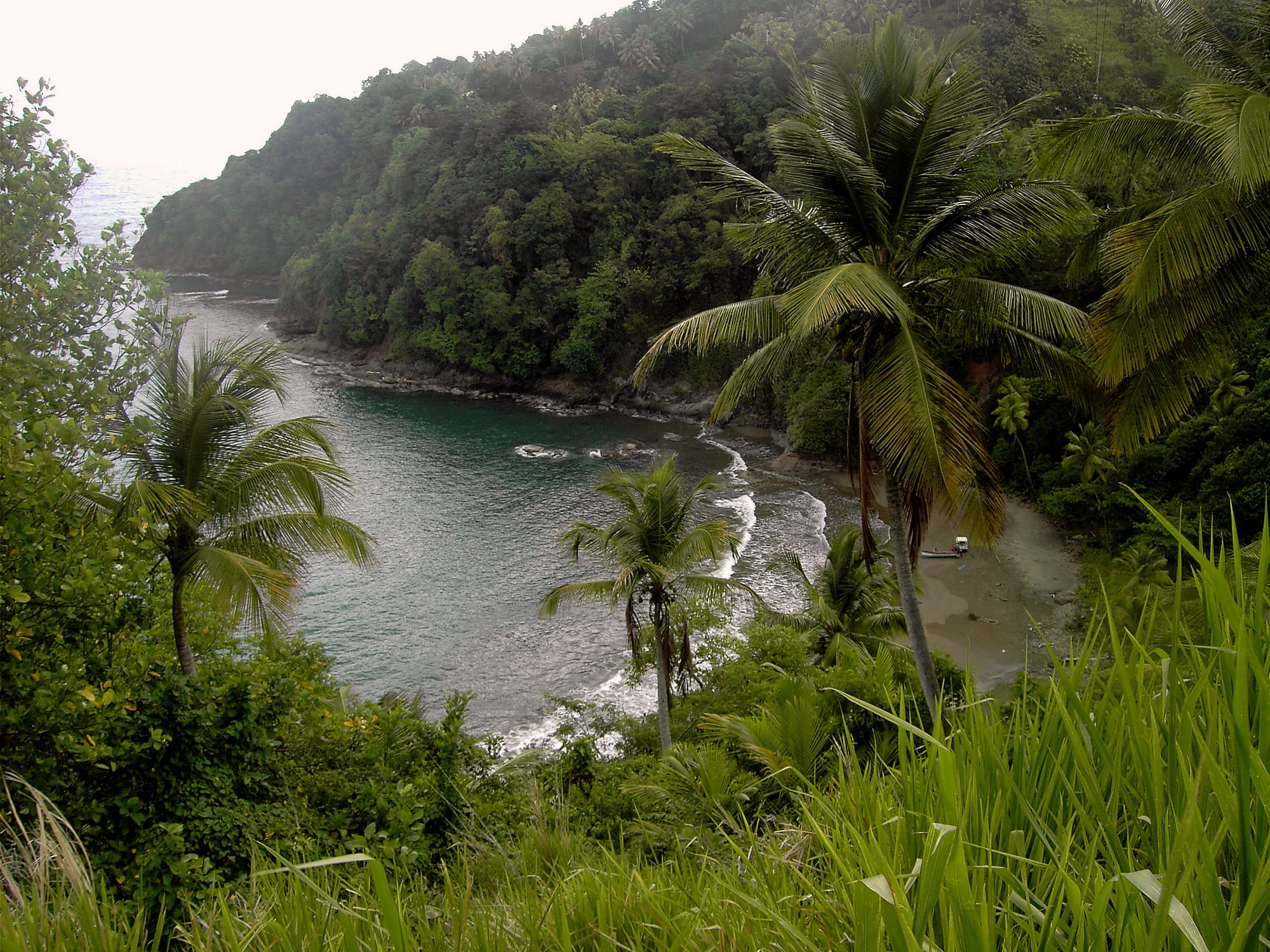
On the windward east coast, a 15-square-kilometre reserve is home to around 3,000 Kalinago (Island Carib) people — Dominica is the only Eastern Caribbean island that still has a pre-Columbian Indigenous population — with its own chief and council. At a model village, cultural groups stage performances and practise traditional Kalinago crafts such as basket-making and pottery.
The coast here is wild and cliffy, facing the open Atlantic.
8. Roseau
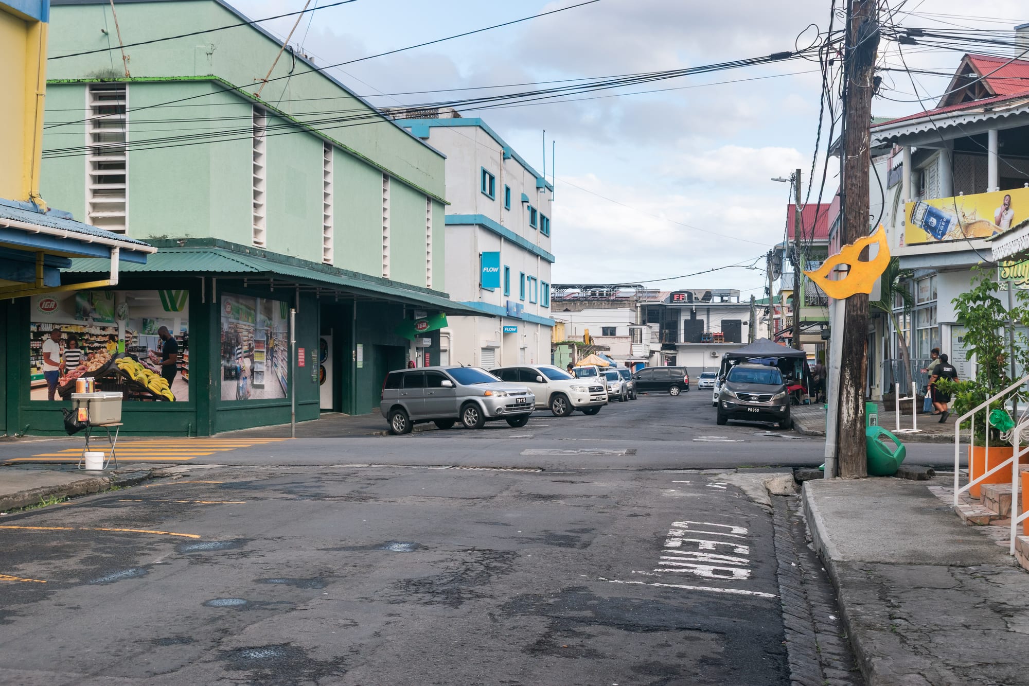
Roseau is one of the smallest and least-developed capitals in the Caribbean — a grid of narrow streets of weathered French-and-British colonial houses, a stone Catholic cathedral, and the Old Market square from which the old streets spread out. The 19th-century Botanical Gardens on the edge of town still have a bus crushed under a baobab that a 1979 hurricane dropped on it.
It is a place to walk for an hour or two rather than a destination in itself; the cruise ships dock here.
9. Hiking and the Waitukubuli Trail
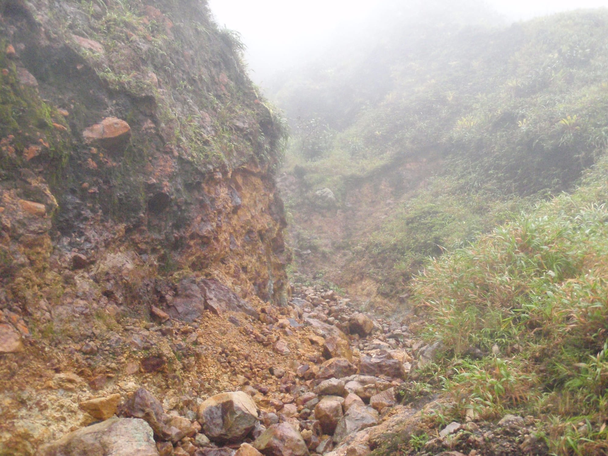
Dominica's real attraction is walking. Beyond the Boiling Lake route through the Valley of Desolation, there are the freshwater crater lakes of Boeri and Freshwater, the peaks of Morne Trois Pitons and Morne Diablotins (the island's highest, at 1,447 m), and the Waitukubuli National Trail — a 115-mile, 14-segment route the length of the island, the longest hiking trail in the Caribbean.
Trails are often muddy, steep, and unmarked; local guides are strongly advised for the harder ones.
Dominica is a hiking-and-diving trip rather than a beach holiday. A week based near Roseau covers the waterfalls, the Boiling Lake, and Champagne Reef, with the Kalinago coast and the northern rivers for a longer stay.