Attractions & Natural Wonders · Honduras
Honduras: Eight Attractions and Natural Wonders
The sculptural Maya city of Copán, the reef islands of the Caribbean, cloud forest above a banana port, and a colonial capital that lost its title
By Worldlore Editorial · 30 September 2026
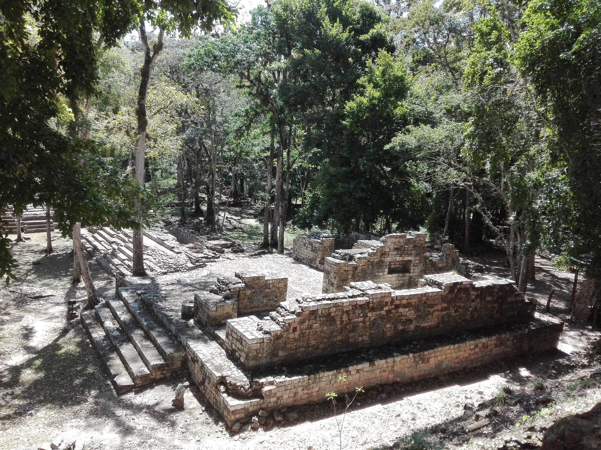
Mountains, reef, and ruins
Honduras is a mountainous country in the middle of Central America, with a long Caribbean coast, a short Pacific one on the Gulf of Fonseca, and a population of more than 10 million. It has the region's best-preserved sculptural Maya site, Copán; a stretch of the world's second-largest barrier reef around the Bay Islands; and vast tracts of cloud forest and the largely roadless Mosquitia rainforest in the east. It is also, in parts, one of the more dangerous countries in the hemisphere — see the note at the end.
The eight below are the established visitor areas, most of which are calmer than the big mainland cities. The dry season (roughly December to April) is best; the north coast and islands are wettest from September to January.
1. Copán
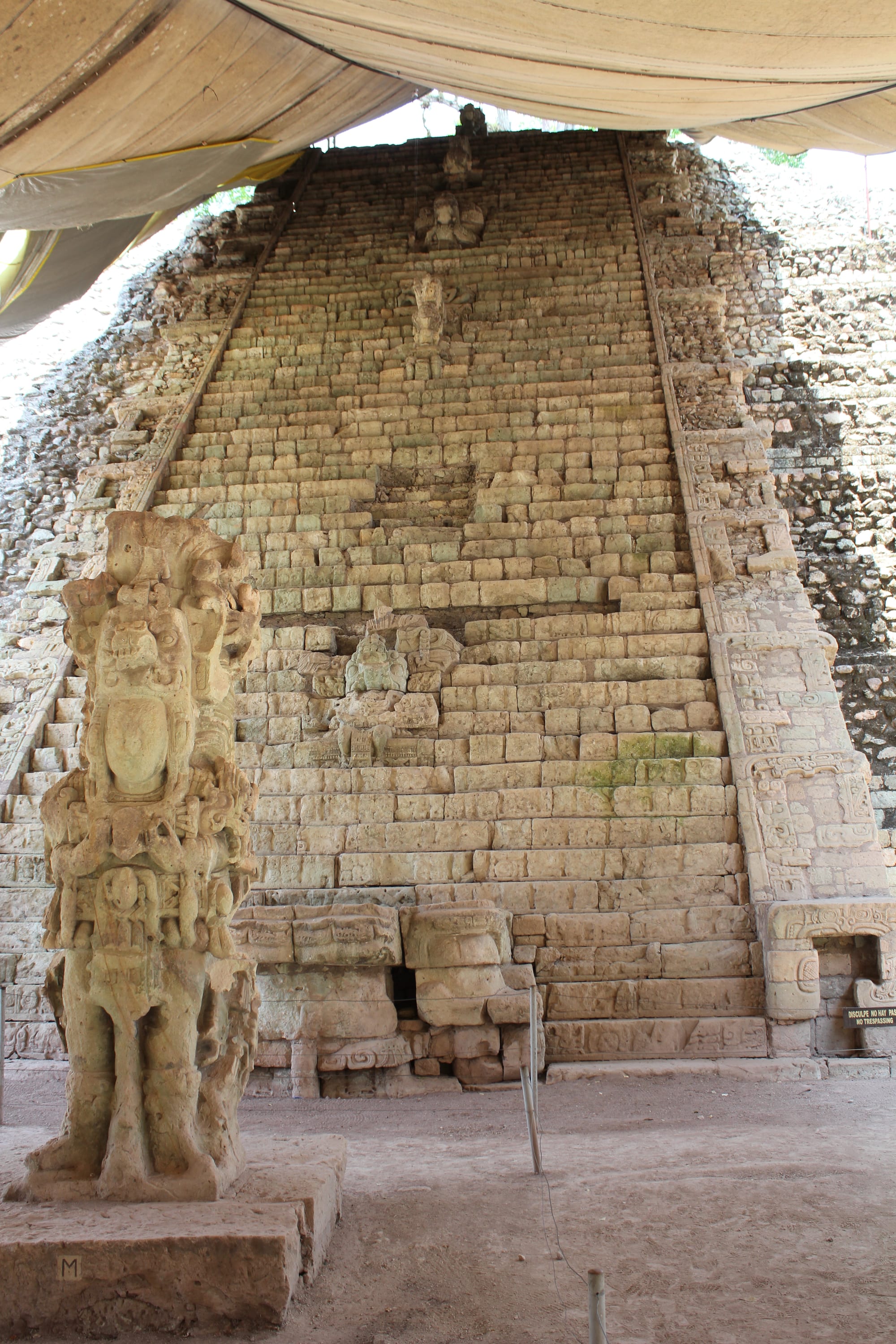
Copán, near the Guatemalan border, was a Maya capital whose rulers, from the 5th to 9th centuries, commissioned sculpture of unmatched depth and detail — portrait stelae, the great Hieroglyphic Stairway, and the "Rosalila" temple preserved intact inside a later pyramid (its replica is in the site museum). Scarlet macaws can be seen at the ruins, and tunnels dug by archaeologists can be visited.
The town of Copán Ruinas, about 1.6 kilometres from the ruins, has hotels and is the base for visits.
2. Roatán and the Bay Islands
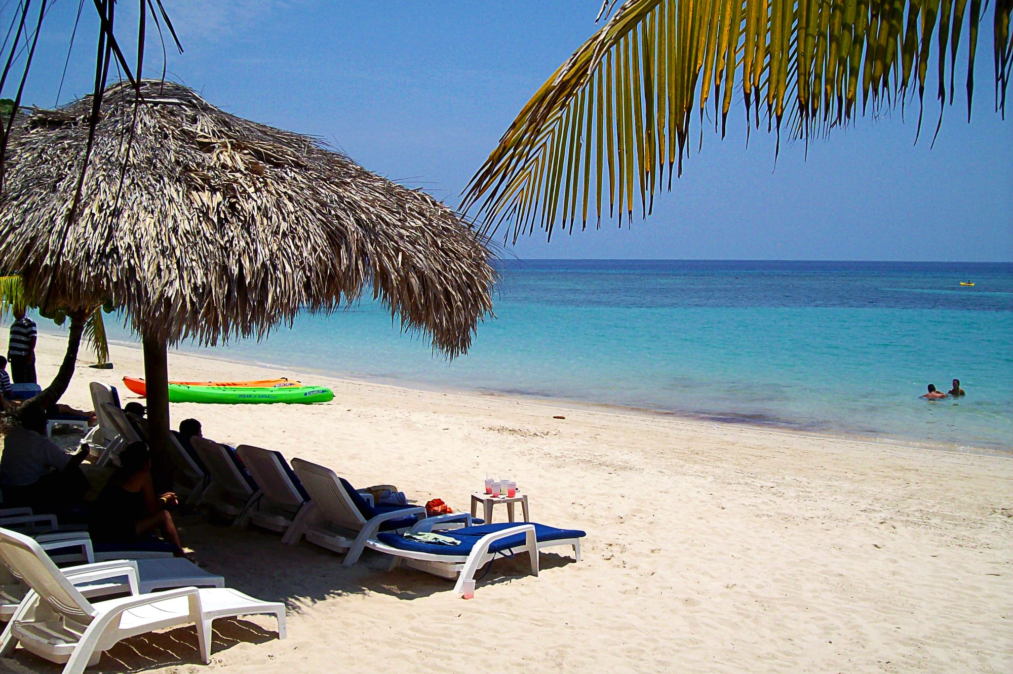
The Bay Islands — Roatán, Utila, and Guanaja — sit on the Mesoamerican Barrier Reef between about 15 and 65 kilometres off the north coast, and are popular places to learn to scuba dive. Roatán is the most developed, with West Bay's beach and reef, and the most visitors; Utila is smaller, popular with backpackers, and known for whale sharks; Guanaja is quiet, with very few cars. The islands have an English-speaking, Afro-Caribbean and Garífuna culture distinct from the mainland.
They are reached by short flights or ferries from La Ceiba.
3. The Cayos Cochinos
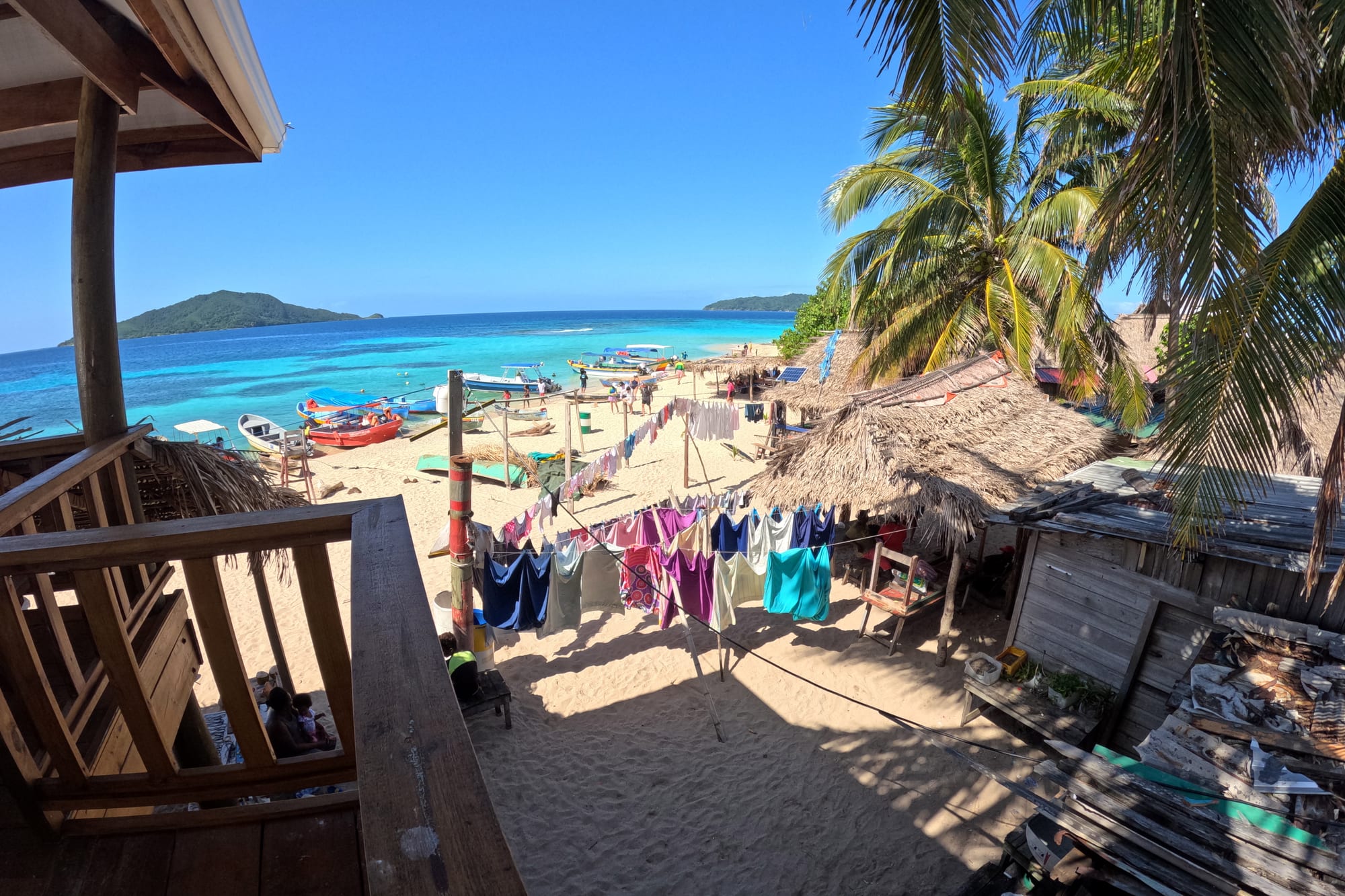
The Cayos Cochinos ("Hog Islands"), between the mainland and Roatán, are a strict marine protected area — no commercial fishing, low-key tourism — with excellent snorkelling and diving over some of the healthiest reef in the Bay Islands, and a small research station. Garífuna fishing villages, among them Chachahuate, are the only communities, and day trips from the mainland village of Nueva Armenia or from Roatán include a stop there.
A pink boa, found nowhere else in the world, is a local curiosity.
4. Pico Bonito and La Ceiba
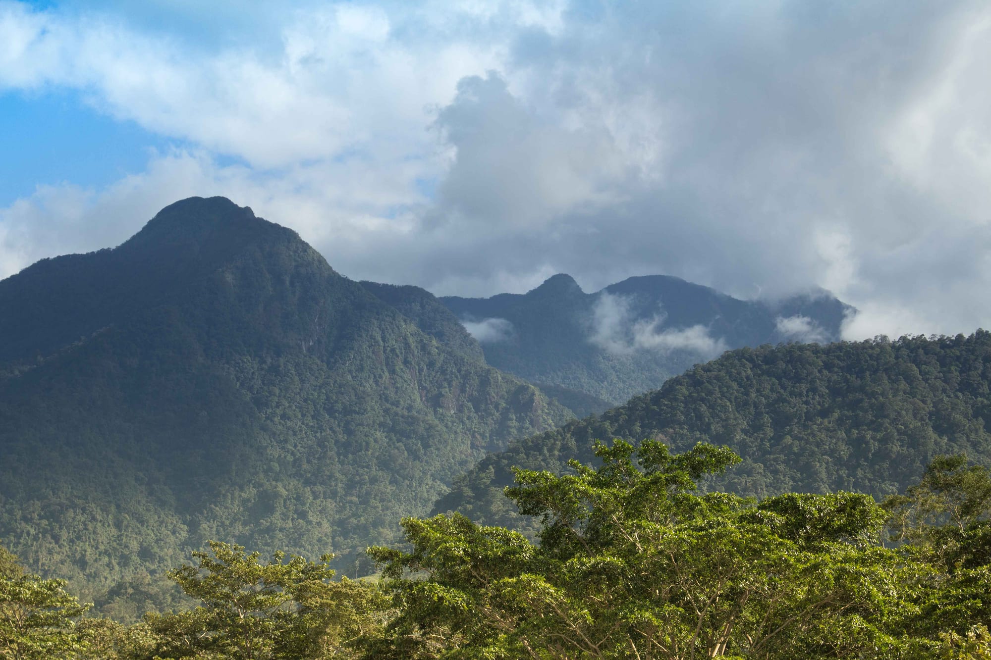
Pico Bonito National Park protects a huge block of rainforest and cloud forest climbing from near sea level to about 2,480 metres, with waterfalls, swimming holes on the Río Cangrejal, whitewater rafting, and lodges on the park edge. The gateway city, La Ceiba, is known for its big May carnival, and the jumping-off point for the Bay Islands, the Cayos Cochinos, and the Cuero y Salado wildlife refuge, home to wild manatees.
The Cangrejal valley just outside town is the base for rafting and hiking.
5. Lake Yojoa
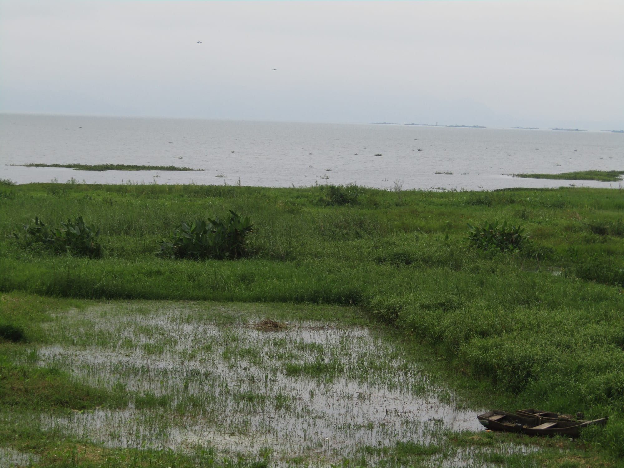
Lake Yojoa, ringed by mountains and coffee farms halfway along the main highway, is a birdwatching hotspot — almost 400 species recorded in the region — with two national parks (Cerro Azul Meámbar and Santa Bárbara) on its shores and waterfalls in the hills nearby. Small hotels and boat trips make it an easy overnight break from the road.
It lies on the highway between San Pedro Sula and Tegucigalpa.
6. Comayagua
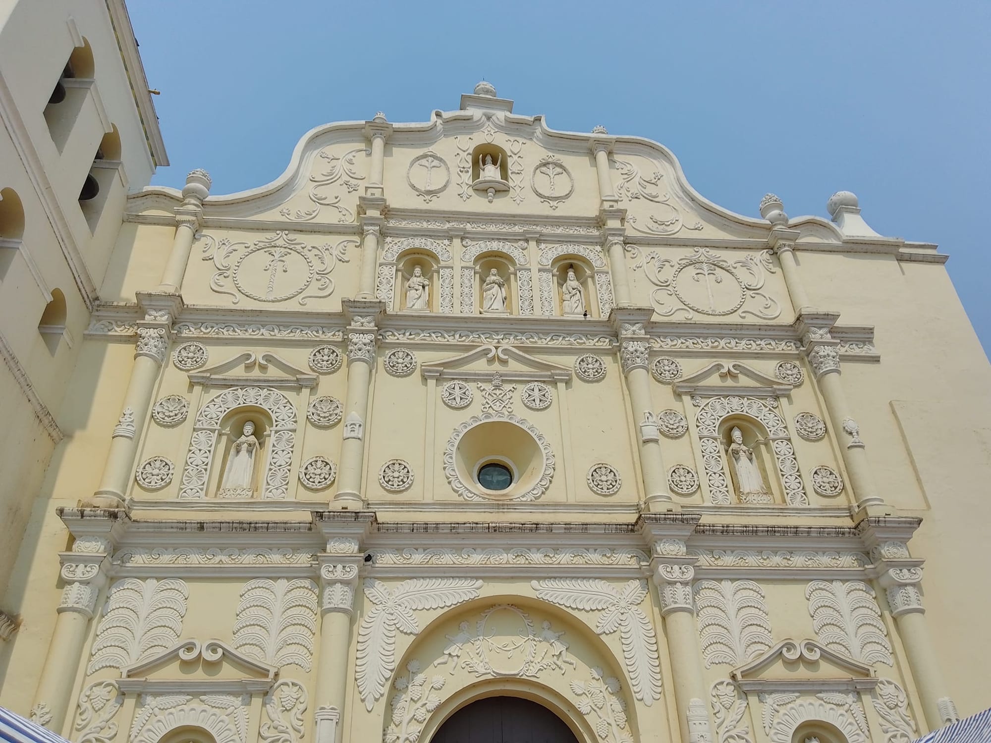
Comayagua, the colonial capital until the government moved to Tegucigalpa in 1880, keeps a well-restored Spanish centre of churches, a cathedral with a Moorish clock said to predate the conquest of Granada, and several small museums. Its Holy Week processions over coloured sawdust carpets are among the best in Honduras.
It is just off the main highway, an easy stop between the airport at Comayagua and either coast.
7. Gracias and the western highlands
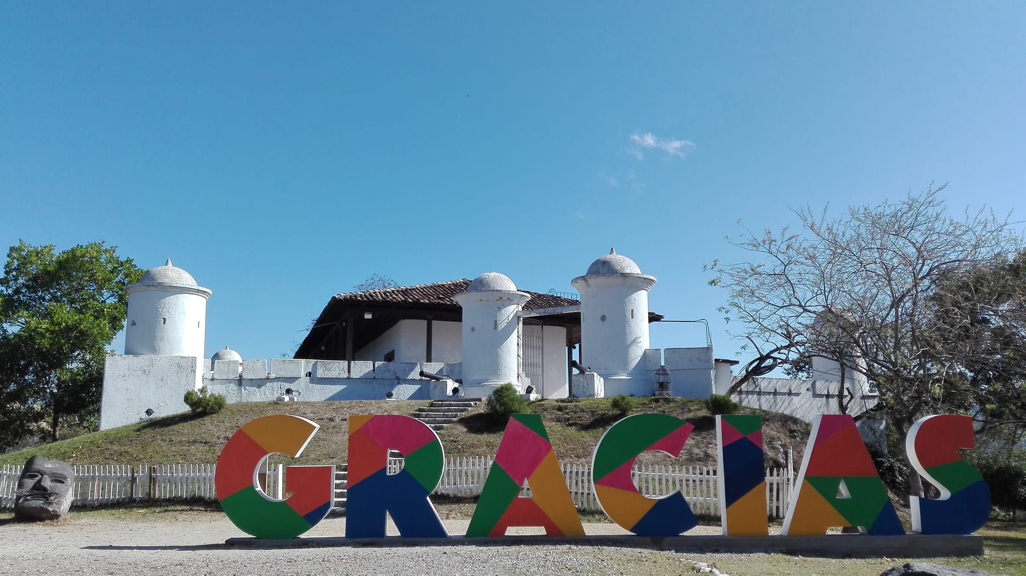
Gracias, in the cool western highlands, was for a few years in the 1540s the seat of the Audiencia that governed Spanish Central America. It is now a laid-back town of cobbled streets, colonial churches, a hilltop fort, and hot springs nearby. It is the base for climbing Cerro Las Minas, at 2,870 metres the highest peak in Honduras, in the cloud forest of Celaque National Park, and for visiting the Lenca communities of the surrounding hills.
About a quarter of the people of Gracias identify as Lenca, and Lenca villages dot the surrounding highlands.
8. La Mosquitia and the Río Plátano
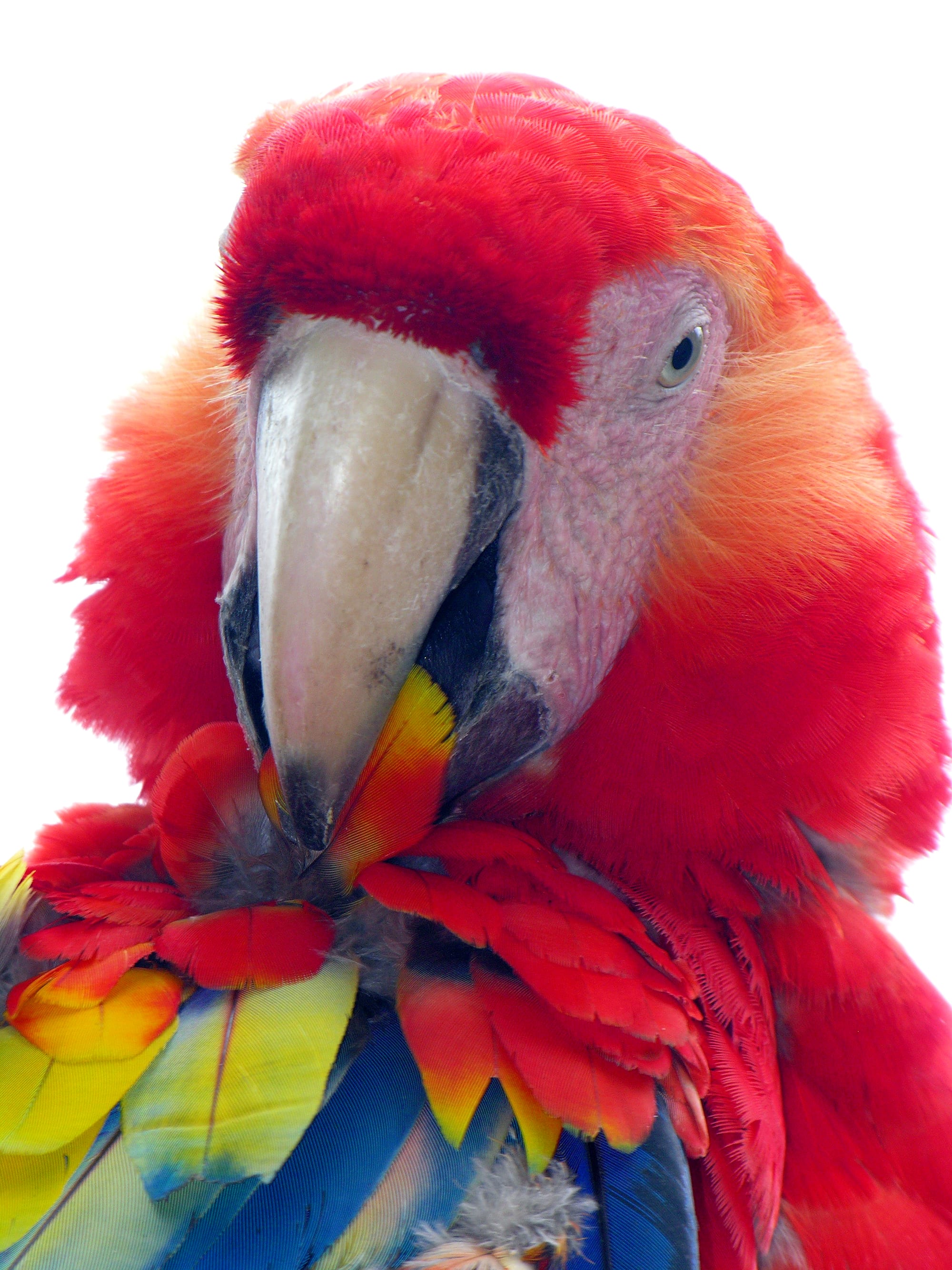
The far east of Honduras, La Mosquitia, is a roadless wilderness of rainforest, savanna, lagoons, and pine ridge along the Nicaraguan border, home to Miskito, Pech, and Garífuna communities. Its core, the Río Plátano Biosphere Reserve, is a UNESCO World Heritage Site (currently on the "in danger" list) with jaguars, tapirs, and macaws, and the "lost city" legends that led to the recent identification of a large pre-Columbian site.
Much of it has no roads, so trips are multi-day river expeditions with specialist operators, and this remote region has its own security considerations.
Before you go: a practical note
Honduras has one of the highest violent-crime rates in the Americas, concentrated in parts of the large cities of San Pedro Sula and Tegucigalpa and in some border and gang-controlled areas. Travel advisories typically urge extra caution countrywide and avoidance of certain districts and the eastern Gracias a Dios (Mosquitia) department. That said, the main visitor areas — Copán Ruinas, Roatán and the Bay Islands, La Ceiba's tourist zone, Lake Yojoa, Gracias — are generally calm and see steady tourism. Fly between regions rather than driving at night, use registered guides and transport, and check current advice before travelling.
A common trip pairs Copán and the western highlands with the Bay Islands, using San Pedro Sula or Roatán as the air gateway.