History · Niger
How did a single tree in the Sahara become a symbol of Niger?
The Tree of Ténéré, a lone acacia that guided salt caravans for generations, became a national emblem after a truck knocked it down in 1973.
By Globeway Editorial · 2 November 2026
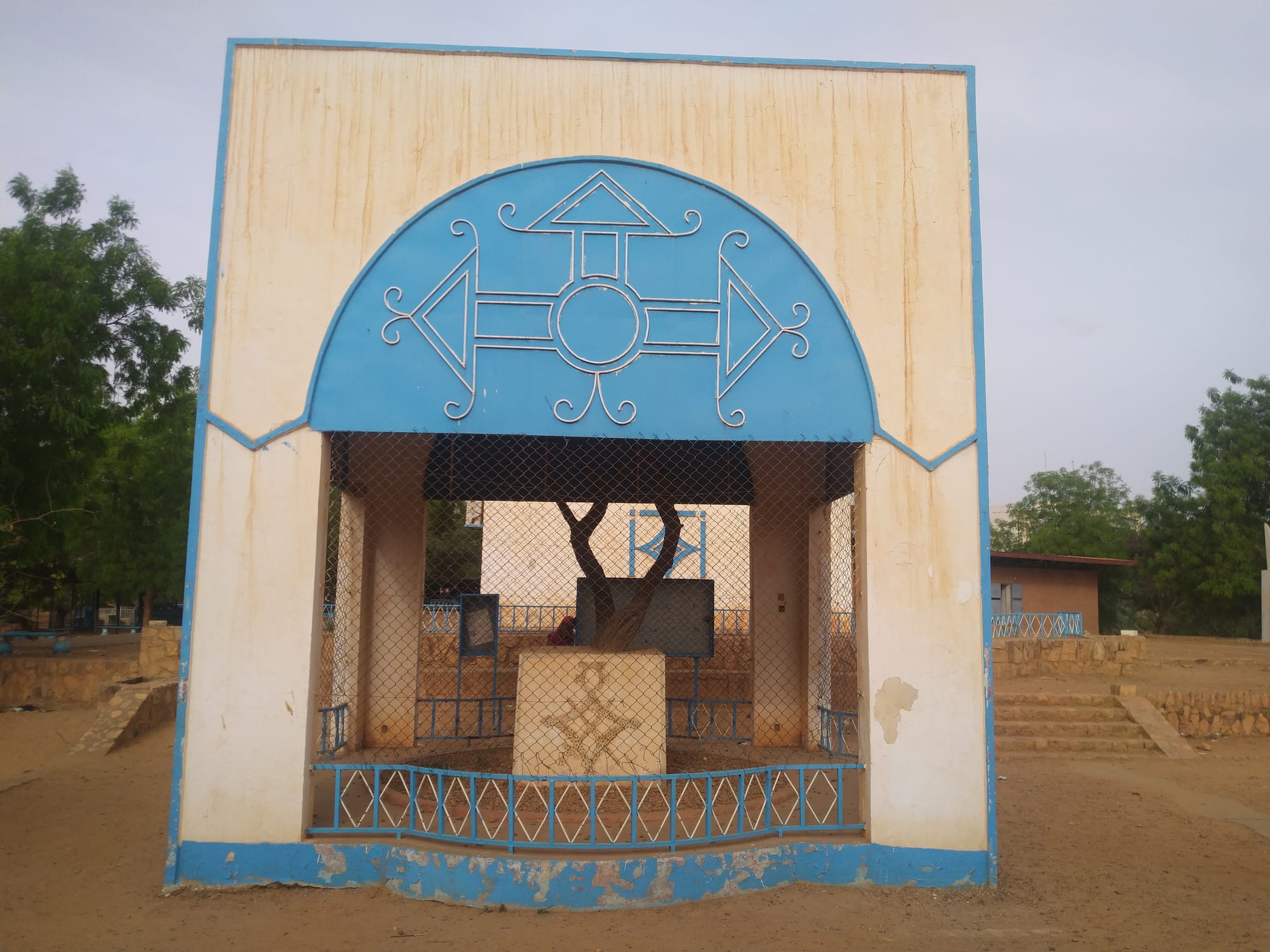
The short answer
For roughly 300 years a single acacia stood alone in the Ténéré, a sand plain of more than 400,000 square kilometres in the Sahara of northeastern Niger. It was once considered the most isolated tree on Earth, and it was the one fixed landmark on the salt-caravan route between Agadez and the oasis of Bilma. The Tuareg caravan men were said to treat it as taboo: no camel was allowed to strip it and no one cut its branches for firewood. It was so well known that it was one of only two trees marked on a map of the region at a scale of 1:4,000,000.
It became a national symbol through its death. In 1973 a Libyan truck driver, reportedly drunk, knocked it down. Niger moved the dead tree to the national museum in Niamey, where it now stands in its own mausoleum, put up a metal sculpture to mark its place in the desert, issued a postage stamp in its memory and raised a replica in the old centre of Agadez. A tree that had guided travellers for generations became a national memorial to survival in the desert, and to how easily that survival can be undone.
The last survivor of a greener Sahara
The tree was an umbrella thorn acacia, Vachellia tortilis, a species of the African savanna and Sahel. It did not take root in a true desert. The Sahara was once far wetter: during a long humid phase from about 7,500 BC to about 3,000 BC, hunters lived in what is now the Ténéré and left rock engravings across it, and the region only became as dry as it is today by about 2500 BC. The acacia was the last of a group of trees that grew along the caravan route when the desert was less parched than it is now.
Its survival was a matter of reach. When French soldiers dug a well beside it in the winter of 1938–1939, they found that its roots went down to the water table 33 to 36 metres below the surface. Around it, the Ténéré receives only about 10 to 15 millimetres of rain a year, and several years can pass without any at all.
The legend that grew around it claimed that no other tree stood within 400 kilometres. That was never true: the oasis of Timia, for example, lies only 150 kilometres away. But on a plain whose very name means "desert" in the Tuareg language, a single tree on the horizon was remarkable enough.
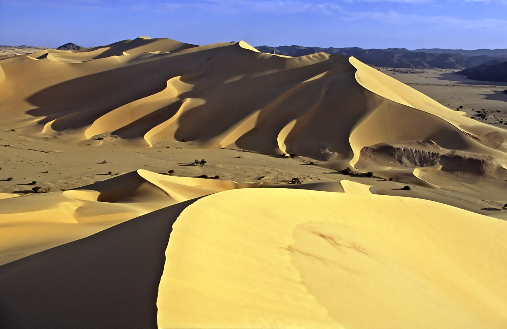
The Ténéré is bounded by the Aïr Mountains to the west and stretches from northeastern Niger into western Chad.
A lighthouse for the salt caravans
For the Tuareg, the tree, which they called Techaghert, was a working landmark. It stood by the last well before the dunes of the Erg of Bilma, on the route that camel caravans followed east from Agadez to the salt oases of Fachi and Bilma. That route, known in Tamasheq as the Taghlamt, is one of the last caravan routes in the Sahara still in use.
A French officer, Commander Michel Lesourd, saw the tree on 21 May 1939 and was struck that it had survived at all, amid the multitudes of camels that trampled around it. He concluded that the caravan men held it to be taboo, a rule that was always respected. Each year the caravans gathered at the tree before facing the crossing, and he called it "a living lighthouse", the first or last landmark for those leaving Agadez for Bilma or coming home.
Undone by the age of the motor
The Ténéré changed when engines arrived, and the tree suffered for it.
- 1934
The French explorer Henri Lhote passes the tree on the first motor crossing between Djanet and Agadez, and finds it green and in flower.
- 1938–1939
French soldiers dig a well beside the tree for military convoys.
- 1939
Lesourd photographs the tree with two trunks.
- 1959
Lhote returns with the Berliet-Ténéré expedition and finds one trunk gone, struck by a lorry heading for Bilma.
- 1973
A Libyan truck driver, reportedly drunk, knocks the tree down while reversing.
- 1975
A metal sculpture is built to mark the site.
Lhote's account of his second visit is bitter: the tree that no nomad would have dared to harm had fallen victim to a mechanic, even though the lorry had the whole empty desert in which to avoid it. Fourteen years later, a truck finished the job.
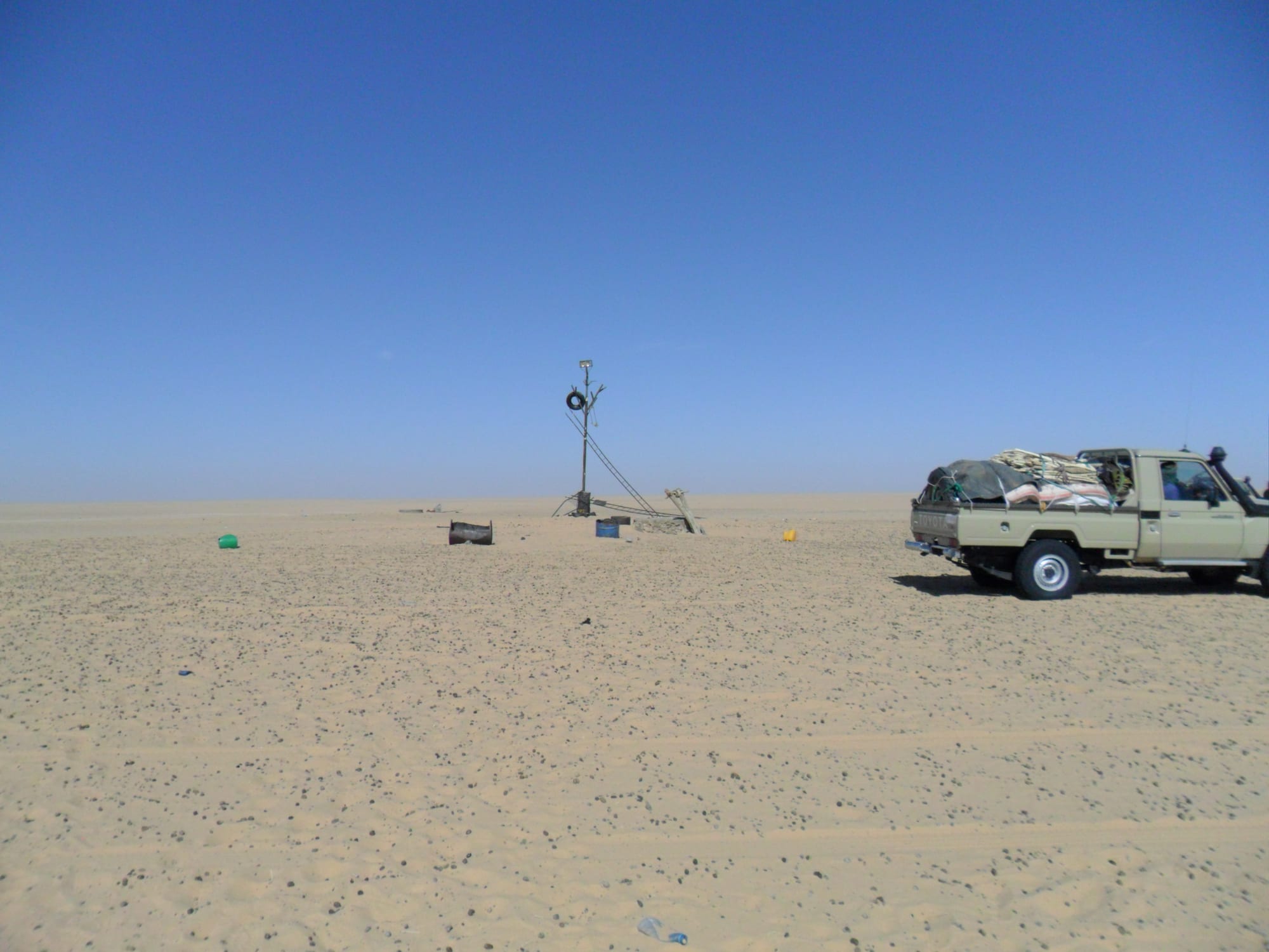
New trees were later planted at the site, but with the water table so deep and only irregular watering from passing travellers, none survived.
From dead wood to national emblem
Niger's response turned the loss into a monument. The dead tree was carried to the national museum in Niamey, now the Musée national Boubou-Hama, and since 1979 it has stood in its own mausoleum there. It is one of the museum's most famous exhibits.
In the desert, the Niger authorities wanted a permanent marker at the spot. A public works letter of November 1974 set out the plan: a stylised tree of welded tubes, painted matt black to stand out against the sand, with fluorescent paint on the tips of its "branches" so that it could be seen in poor light. Built in 1975, it served two purposes at once: a memorial to the most famous lone tree in the Sahara, and a navigation beacon for convoys crossing the Ténéré. In 1974 Niger also issued a 50-franc stamp, designed by Georges Bétemps, to mark the first anniversary of the tree's death, showing the tree, a compass rose and a caravan. Another replica, closer to the original's shape, stands in the historic centre of Agadez.
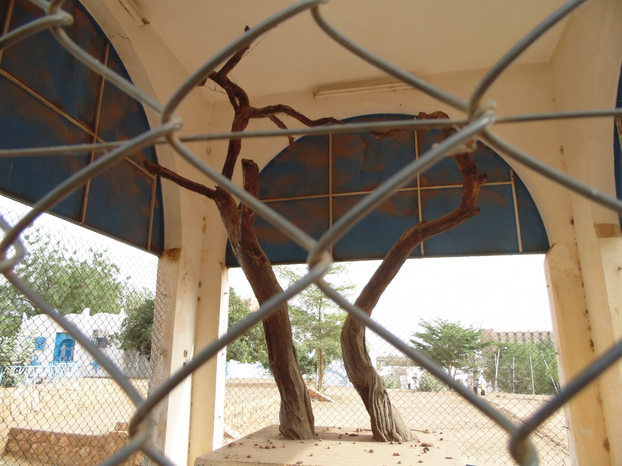
The museum, founded in 1959, received about 170,000 visitors a year in 2013.
The story has travelled far beyond Niger. The Tuareg group Oyiwan honoured the tree in a song named Techaghert; a four-storey sculpture of LED leaves called Tree of Tenere appeared at the Burning Man festival in 2017 and later found a permanent home in Dallas, Texas; and Richard Powers's novel The Overstory mentions it.
The site today
The tree's old position lies on the southern edge of the Aïr and Ténéré Natural Reserves, a UNESCO World Heritage Site since 1991 and on the list of World Heritage in Danger since 1992. Reaching it is another matter. Niger has been under military rule since a coup in 2023 and faces jihadist insurgencies, and most governments advise against all travel to the country, so the desert where caravans once gathered at the tree is, for now, largely out of reach for visitors.