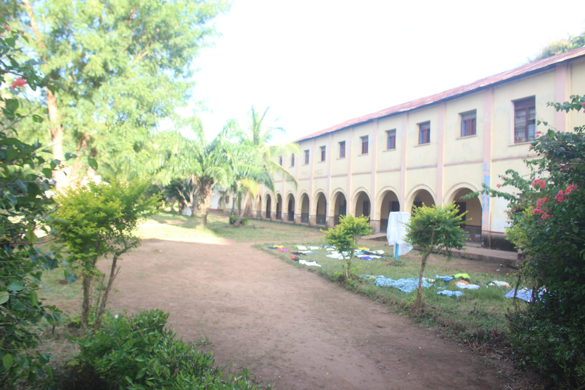
A long two-storey arcaded building with a red roof beside a dirt path, trees, palms and laundry drying on the grass

Central African Republic

Bossangoa, Bambari & the North

The Saint Marc seminary in Sibut, a town in the Kémo prefecture of the Central African Republic. (Zakalingba / Wikimedia Commons · CC BY-SA 4.0)

The savanna heart and north of the Central African Republic, from the cotton country of Bossangoa and Bozoum through Sibut and Bambari to the wildlife parks of Bamingui-Bangoran and Manovo-Gounda St Floris and the dry far north on the Chad and Sudan borders — the region where the conflict since 2013 began and has been fought hardest.

Explore Bossangoa, Bambari & the North

History

The savannas of the north were long a frontier between the farming peoples of the centre and the Muslim states of the Sahel. In the 19th century slave raiders from Darfur, Wadai and Bagirmi reached deep into the region, and in 1896 Muhammad al-Sanusi made Ndélé the capital of the sultanate of Dar al-Kuti, which raided the Banda and other peoples to the south for captives. The French, who set up posts at Fort-Sibut and Fort-Crampel, now Kaga-Bandoro, first dealt with the sultan and then killed him in 1911.

Under colonial rule the north-west became the cotton belt, where villagers were compelled to grow the crop for export, and the Gbaya of the west rose in the Kongo-Wara rebellion of 1928 to 1931 against forced labour. After independence, politicians from the north-west came to dominate national life: Ange-Félix Patassé, president from 1993, was born in the Ouham-Pendé, and François Bozizé, who seized power in 2003, is a Gbaya.

The present crisis began here. In 2012 rebel groups from the north-east formed the Séléka coalition, and in 2013 they swept south and took Bangui. Anti-balaka militias rose against them, and attacks between Muslim and Christian communities drove hundreds of thousands from their homes. The Séléka later split into rival armed factions, and control of Bambari and other towns has changed hands and been contested over the years since.

Culture & Customs

The north is home to many peoples. The Gbaya live in the west around Bossangoa and Bozoum, the Banda in a wide belt across the centre around Bambari, Sibut and Kaga-Bandoro, and Sara groups near the Chad border. In the far north-east live the Runga, Gula and other groups whose ties run north to Chad and Sudan, and Fulani herders move cattle across the savannas. Sango is the common language.

Religion follows geography: the north-west and centre are mostly Christian, with long-established Catholic and Protestant missions, while Islam is the majority faith in the north-east around Ndélé and Birao. Before the conflict, Muslim traders lived in towns throughout the region, and relations between the communities were generally close; the violence since 2013 has divided many towns into separate quarters. Village life still centres on the chief, the market, the church or mosque, and initiation and harvest ceremonies.

Daily Life

The towns of the north are small: Bambari, Bossangoa, Bozoum, Kaga-Bandoro and Sibut each have tens of thousands of people, and much of the far north is almost empty. Most families farm cassava, sorghum, millet, groundnuts and sesame, and the cotton industry that once supported the north-west has largely collapsed. Cattle herding is a major activity, and the seasonal movement of herds from Chad and Sudan is a frequent source of conflict with farmers.

Years of fighting have left the region with destroyed villages, displacement camps around towns and mission compounds, closed schools and few working clinics. International aid agencies provide much of the health care and food, and peacekeeping bases are part of daily life in many towns. Gold and diamond digging, along with taxes on roads and markets, has helped fund armed groups.

Food

Cooking in the north follows the national pattern of a starchy staple with a sauce. Gozo, a paste of cassava flour, is eaten everywhere, but further north a stiffer porridge of millet or sorghum takes its place. Sauces are made from cassava or sorrel leaves, okra, groundnut paste and sesame, cooked with dried fish, beef or goat, and seasoned with hot pepper.

Cattle country means more beef than in the south, eaten as grilled skewers in the towns and in stews, and fresh or soured milk is part of Fulani cooking. Wild honey, shea nuts and seasonal forest and savanna foods such as caterpillars add to the diet. Sorghum and millet are brewed into local beers, and in Muslim areas sweet tea is the social drink.

Attractions & Natural Wonders

Manovo-Gounda St Floris National Park, stretching across the far north, is the region's great natural site: a UNESCO World Heritage Site of savanna, wooded hills and the floodplains of rivers draining to the Chari. It once held large herds of elephants and buffalo, giraffes, lions and cheetahs, and rich birdlife on the floodplains, but heavy poaching and armed conflict have destroyed much of its wildlife, and it is listed as World Heritage in Danger. Bamingui-Bangoran National Park, to its west, protects similar savanna and rivers within a UNESCO biosphere reserve.

Further south, Bossangoa lies on the Ouham river in the heart of the cotton country, with its Catholic mission, and Bozoum, in the rolling uplands of the Ouham-Pendé, has long been a mission and market town. On the road north-east from Bangui, Sibut is a small crossroads town, and Bambari, on the Ouaka river, was one of the country's larger towns and a centre of the cotton trade. Ndélé keeps remains of the Dar al-Kuti sultans' capital.

Cities in Bossangoa, Bambari & the North

Planning basics

Budget

There is no tourism economy in the north. Any movement outside Bangui requires specialist logistics — flights on humanitarian or charter aircraft, four-wheel-drive vehicles, fuel carried in, and security arrangements — and costs far exceed those in the capital. Local markets are cheap, but supplies are irregular and prices jump when roads are cut.

Daily Budget Midrange
Not realistically applicable; costs depend entirely on charter flights and security arrangements
Daily Budget Shoestring
Not realistically applicable given the security situation

Bring all the cash needed in euros or CFA francs; there are no reliable banking services outside Bangui.

Safety

The north has been the main theatre of the conflict. Armed groups, several of them formed from the Séléka coalition, as well as anti-balaka militias, have fought each other, government forces and their foreign allies, and the United Nations peacekeeping mission is deployed in many towns. Attacks on civilians and aid workers, kidnapping, landmines on some roads and clashes over cattle routes between herders and farmers have all been reported.

Globeway covers the Central African Republic so it can be understood, not to encourage travel there now. Most governments advise against all travel to the country, and the north is among its most dangerous areas. Check current official travel advice before travelling.

Climate

The north is savanna country and grows drier towards the Chad border. Bossangoa, Bozoum, Sibut and Bambari have a rainy season from roughly May to October and a hot dry season with Harmattan dust. The far north around Birao in Vakaga is almost Sahelian, with shorter rains and some of the country's highest temperatures before they break.

Summer
the rainy season, 22–32°C, when rivers flood the northern plains and roads close for weeks
Winter
dry, dusty and hazy, warm by day and cooler at night; March and April are very hot, above 38°C in the far north

Transportation

Unpaved roads run from Bangui north-west to Bossangoa and Bozoum and north-east through Sibut to Bambari, Kaga-Bandoro and Ndélé; many stretches are in poor condition and become impassable in the rains. Vakaga is cut off by flooding for months each year. Humanitarian and United Nations flights serve airstrips at several towns. Road journeys are exposed to armed groups, roadblocks and banditry.

Do not plan any overland travel in the north; the roads are among the most dangerous in the country.

Best Time to Visit

In principle, December to April is the only season when northern roads and park tracks are usable and wildlife concentrates near water. In practice the security situation rules out travel to the region, and the parks receive no regular visitors.