Attractions & Natural Wonders · Equatorial Guinea
Equatorial Guinea: Six Attractions and Natural Wonders
A colonial capital on a volcanic island, a 3,000-metre peak above the Gulf of Guinea, a crater lake in the cloud forest, and rainforest full of primates on the mainland
By Globeway Editorial · 30 September 2026
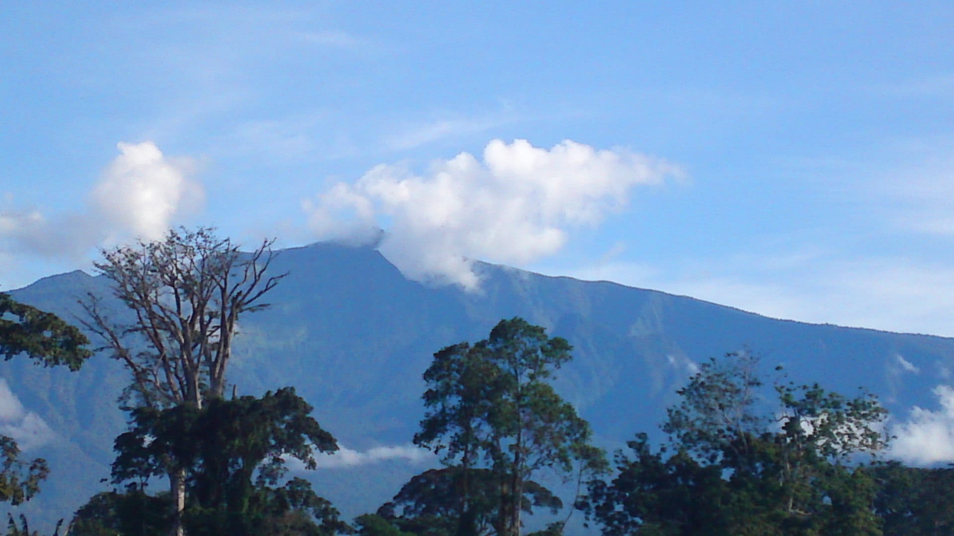
A hard country to visit
Equatorial Guinea is a small, oil-rich country in central Africa, split between the island of Bioko (home to the old capital, Malabo) and a mainland region, Río Muni, on the coast between Cameroon and Gabon. It is the only Spanish-speaking country in sub-Saharan Africa, and one of the most closed: it has been ruled by the same president since 1979, it has long been one of the hardest countries in Africa to enter (an e-visa has existed since 2023), photography of anything official is risky, and travel off the main roads needs permits. There is very little tourism infrastructure.
The six below are the country's natural and cultural highlights, for reference. Anyone travelling here does so with local fixers and a clear understanding of the rules. The dry seasons vary between the island and the mainland.
1. Malabo
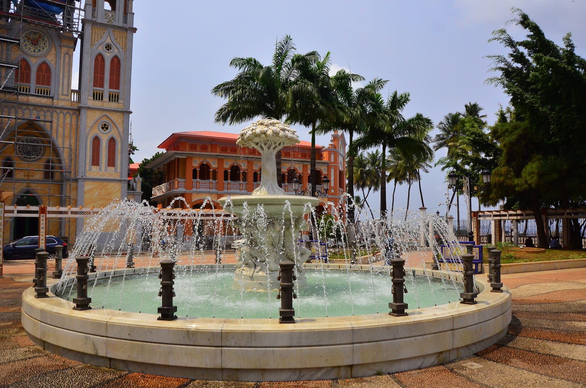
Malabo sits on a bay on the north coast of Bioko — the country's oldest city and its capital until January 2026, when the title passed to Ciudad de la Paz on the mainland. It has a compact core of Spanish colonial buildings, including the twin-towered neo-Gothic Santa Isabel Cathedral (built 1897–1916 and badly damaged by fire in 2020), Independence Square, and old merchant houses, along with the modern oil-boom districts around them.
The colonial centre is small and walkable, and the old cocoa plantations of the island give a sense of the colonial economy.
2. The beaches of Bioko
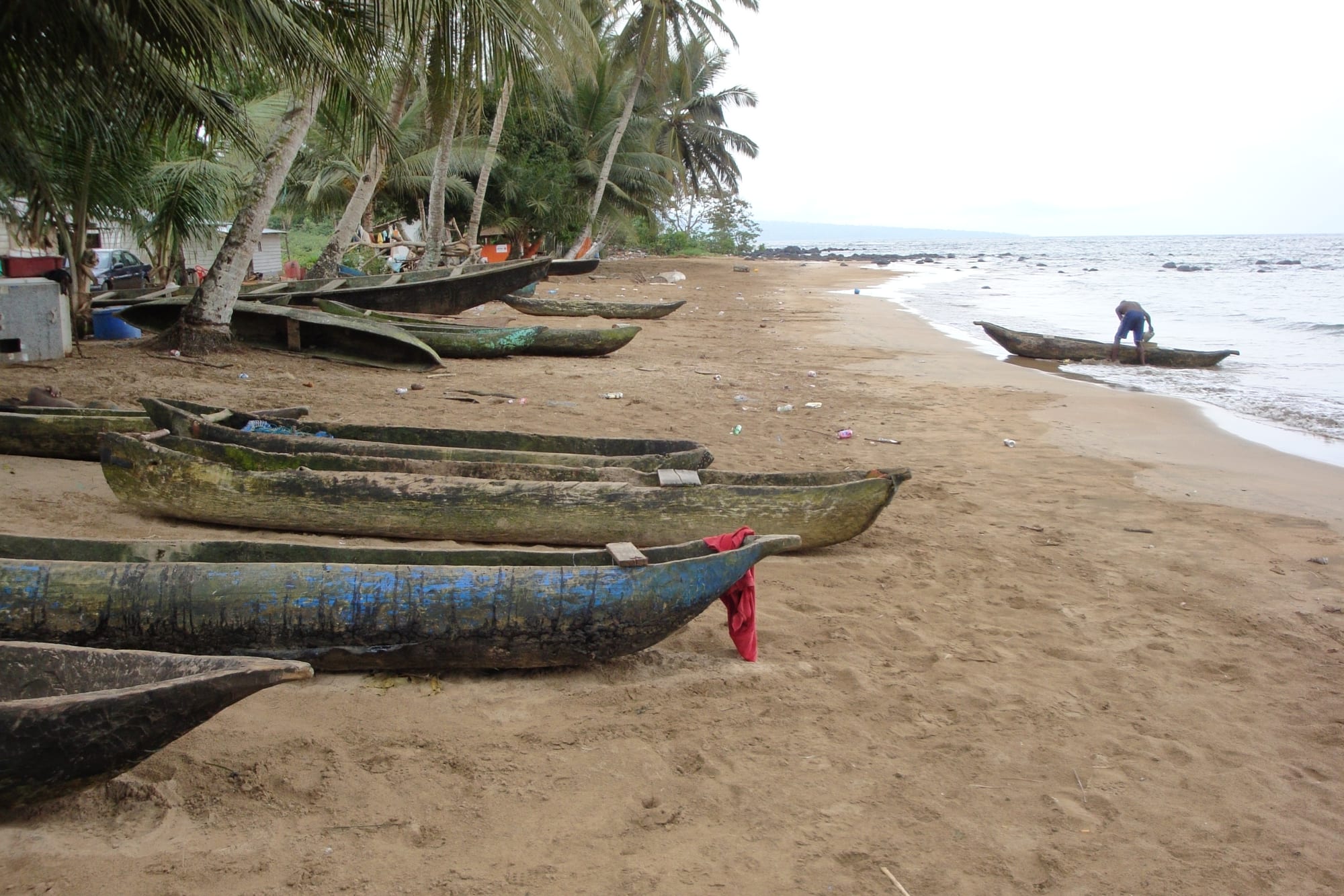
Bioko's coastline is volcanic — dark sand, dramatic surf, and jungle running to the shore. Some beaches, such as Arena Blanca, can be reached by road; the wild south coast, around Ureca, is the wettest place in Africa and a nesting site for four species of sea turtle (green, hawksbill, olive ridley, and leatherback), monitored by a long-running conservation programme.
Reaching the south requires permits, a 4x4, and often a long hike; it is the country's outstanding wildlife experience.
3. Pico Basilé
Pico Basilé, 3,011 metres high, is the largest and highest of the three volcanoes that form Bioko; it last erupted in 1923 and is often capped in cloud. Its summit carries broadcast and relay masts, and on a clear day Mount Cameroon is visible to the north-east. Its slopes rise from plantation through montane forest.
The mountain is protected as a national park, home to rare primates including Preuss's monkey, black colobus, and the endangered drill.
4. The Moka valley and Lake Biao
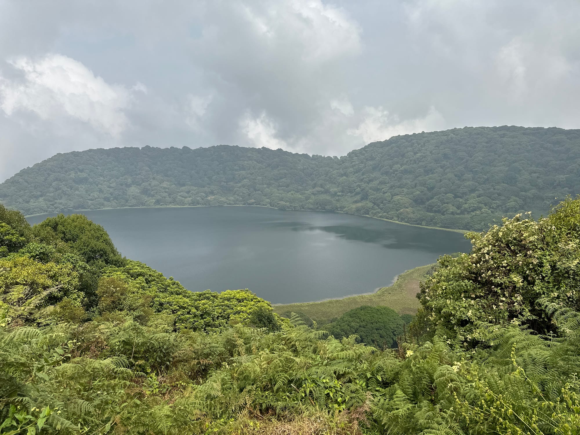
The Moka valley, in the cooler southern highlands of Bioko, is the island's trekking area — grassland and cloud forest, the crater lake of Biao in the caldera of a 2,009-metre peak, and the village of Moka itself, home to the Moka Wildlife Center, a research station run by the Bioko Biodiversity Protection Program. From the south of the island, guided walks reach the Moka Falls and (with more effort) the Ureca turtle beaches.
It is the greenest, most temperate part of the country and the base for serious nature trips.
5. Monte Alén National Park
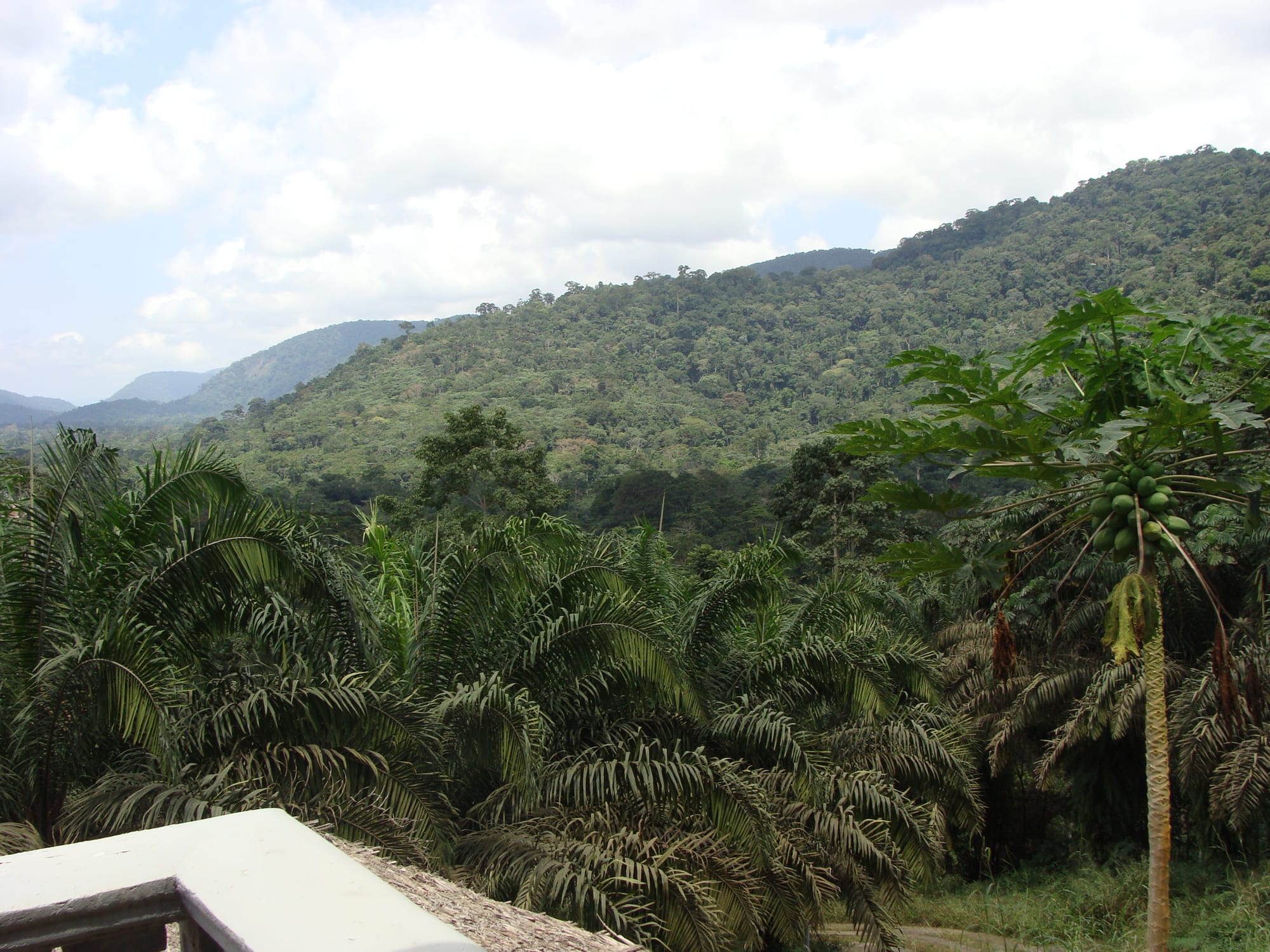
On the Río Muni mainland, Monte Alén protects around 2,000 square kilometres of rainforest — home to lowland gorillas, chimpanzees, forest elephants, mandrills, and the goliath frog, the largest frog in the world. It is the richest wildlife area in the country.
Infrastructure is minimal; visits are arranged from the town of Niefang or the capital of Río Muni, Bata, with guides. The mainland also has the mangroves of the Muni estuary on the Gabon border.
6. Sipopo and the oil-boom landscape
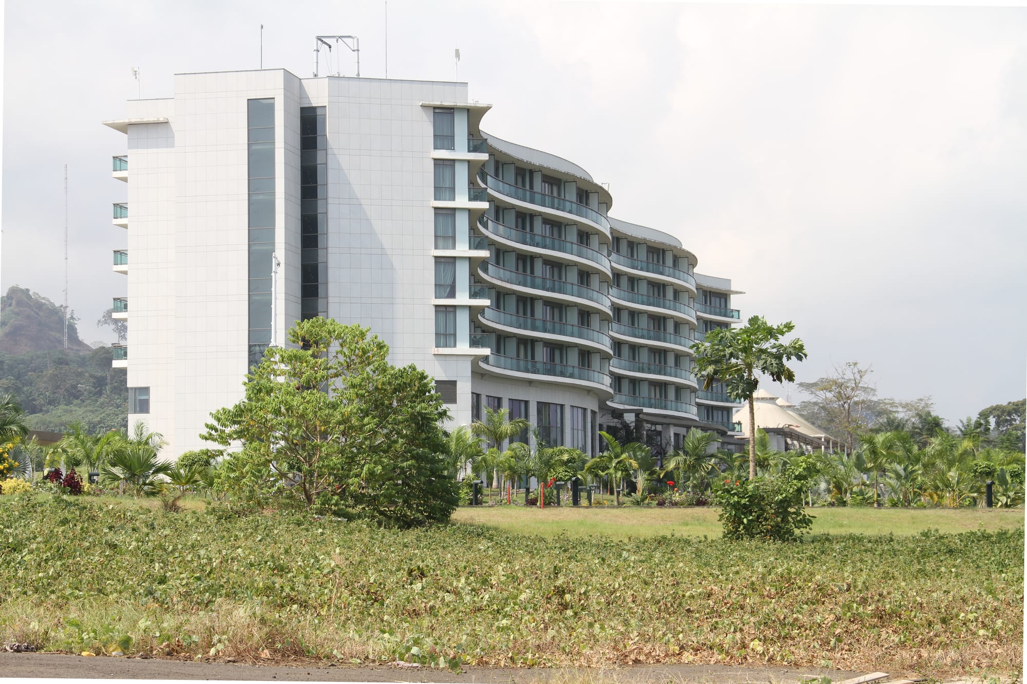
Sipopo, built east of Malabo for a 2011 African Union summit, is a strip of luxury hotels, villas, a golf course, and a conference centre carved out of the jungle — often cited as emblematic of how the country's oil wealth has been spent. The new capital, Ciudad de la Paz (formerly Oyala), a planned city in the mainland interior that officially took over from Malabo in 2026 while still under construction, is another example.
They are curiosities rather than attractions, but they are a large part of what a visitor actually sees.
Equatorial Guinea is one of the least-visited countries in Africa. It rewards the very determined traveller with untouched rainforest and volcanic scenery, reached only with permits, guides, and patience.