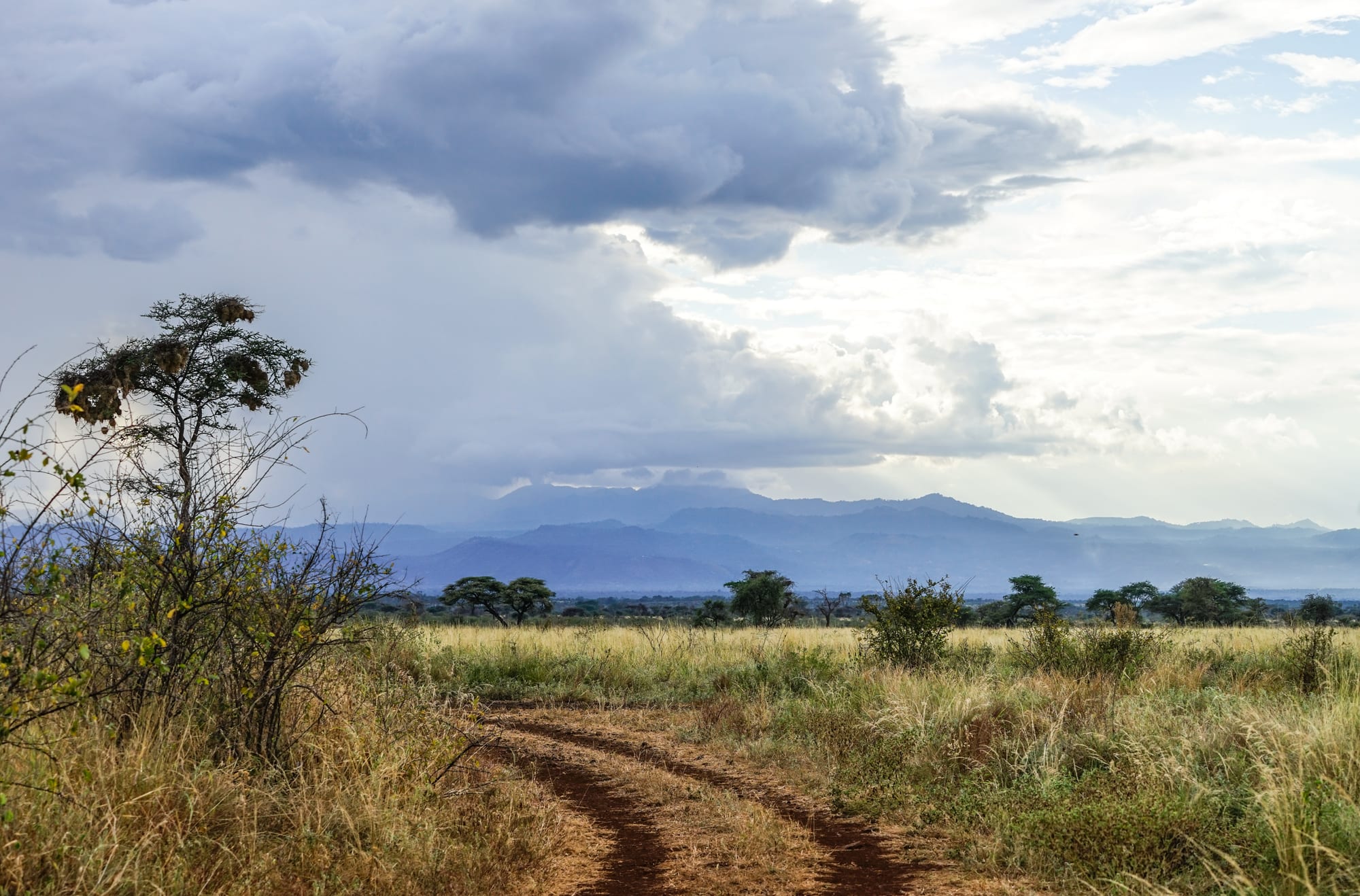
A red dirt track running through tall grass and scattered trees towards blue hills under heavy grey clouds

Kenya

Mount Kenya, Meru & the East

Grassland and bush in Meru National Park, on the lowlands east of Mount Kenya. (Nina R / Wikimedia Commons · CC BY 2.0)

The old Eastern and North Eastern provinces — from Mount Kenya's eastern slopes and the farms of Meru, Embu and the Kamba counties to the dry bush of Isiolo, the deserts of Marsabit and the Somali-majority counties of Garissa, Wajir and Mandera on the Somali border, where security conditions limit travel.

Explore Mount Kenya, Meru & the East

History

The region has two histories. In the south, Bantu-speaking peoples settled the fertile slopes and plains: the Meru, whose council of elders, the Njuri Ncheke, still has standing, the Embu, the Mbeere and the Tharaka around Mount Kenya, and the Kamba of Machakos and Kitui, who in the 18th and 19th centuries became long-distance traders carrying ivory to the coast. Machakos became the first British administrative centre in the late 19th century.

The north was pastoral country, grazed by the Borana, Gabbra, Rendille and, increasingly from the 19th century, Somali clans moving south and west. Britain ran it as the Northern Frontier District, a closed area with restrictions on movement. As independence approached, most Somalis in the district sought union with Somalia, and after 1963 an insurgency known as the Shifta War lasted until 1967. Security operations continued for decades, including the massacre of Degodia Somali men by Kenyan soldiers at the Wagalla airstrip near Wajir in 1984, later examined by Kenya's Truth, Justice and Reconciliation Commission.

Since the 1990s the Dadaab camps in Garissa County have sheltered hundreds of thousands of Somali refugees. Since Kenya's military entered Somalia in 2011, al-Shabaab has carried out repeated attacks in the border counties, among them the 2014 attacks on a bus and a quarry near Mandera and the 2015 attack on Garissa University College that killed nearly 150 people. The 2010 constitution's devolution brought new county governments and investment to places long left out.

Culture & Customs

The Kamba are known for wood carving, basketry and pottery, and for dances that display acrobatic skill. The Meru, Embu and Tharaka share Bantu languages and customs close to those of the Kikuyu, and Meru elders of the Njuri Ncheke still settle disputes and preside over ceremonies. Christianity is the majority faith in these southern counties.

North of Isiolo the culture changes. The Borana, Gabbra, Rendille and Samburu herd camels, cattle and goats, and the Somali of Garissa, Wajir and Mandera are overwhelmingly Muslim, with life shaped by prayer, clan ties and the Somali language, poetry and trade. Isiolo is a crossroads where Borana, Somali, Turkana, Meru and Samburu communities meet, and Moyale, divided by the border, links Kenya with Ethiopia. The small El Molo community on Lake Turkana is one of Kenya's smallest ethnic groups.

Daily Life

Machakos, Meru and Embu are the largest county towns, and Nairobi's growth now reaches into Machakos at Athi River and Syokimau. Farming dominates the south: tea and coffee around Meru and Embu, and drought-tolerant crops and livestock in Machakos, Makueni and Kitui, where water is the constant concern. Miraa, the stimulant leaf also called khat, is a major cash crop in Meru County, sold across Kenya and exported.

In the north, livelihoods depend on camels, cattle and goats, and repeated droughts have destroyed herds and pushed families into towns. Garissa is a trading hub on the Tana River, and Moyale on the Ethiopian border and the Lake Turkana Wind Power project near Loiyangalani in Marsabit have brought new roads and investment. Schools, clinics and trade in the north-east have been disrupted by insecurity.

Food

Kamba cooking uses maize, beans, cassava and sweet potatoes. Maize and beans boiled together make an everyday meal, and in these dry counties the size of the harvest depends on the short rains. Around Mount Kenya, the Meru and Embu eat much as the highland Kikuyu do, with bananas, arrowroot, yams, beans and greens, and the slopes grow coffee and tea.

In the north the diet rests on livestock. Camel milk, fresh or soured, is drunk daily, and camel and goat meat are the main meats. In Somali towns such as Garissa and Wajir, breakfast is often canjeero, a thin, slightly sour pancake, and meals include rice or pasta with goat or camel meat, alongside sweet spiced tea. Somali restaurants in Isiolo and Garissa serve the same dishes to travellers on the northern roads.

Attractions & Natural Wonders

Mount Kenya's eastern trails are the region's classic climb. The Chogoria route, from the Tharaka-Nithi side, passes the deep Gorges Valley and Lake Michaelson on the way to Point Lenana, and the Sirimon route approaches from the north-west. The mountain's national park is a UNESCO World Heritage Site. Below it, Embu and Chuka are the gateway towns of the southern slopes.

East of Meru town, Meru National Park is a lesser-visited park of rivers, bush and doum palms, where Joy and George Adamson returned Elsa the lioness to the wild. Beyond Isiolo, the Samburu-side reserves of Buffalo Springs and Shaba line the Ewaso Ng'iro River, with Grevy's zebra, reticulated giraffe and oryx.

Further north, Marsabit National Park covers a forested volcano with Lake Paradise in one of its craters. Past the Chalbi Desert, Lake Turkana's eastern shore holds Loiyangalani and Sibiloi National Park, with the fossil beds of Koobi Fora, part of the Lake Turkana National Parks World Heritage Site. To the south, Machakos lies at the heart of Kamba country. The Somali-border towns of Garissa and Wajir are regional trading centres rather than destinations, and travel there is advised against.

Cities in Mount Kenya, Meru & the East

Planning basics

Budget

Everyday costs in Machakos, Embu, Meru and Isiolo are low, with cheap guesthouses and local food. The far north is a different matter: the distances, the need for a 4x4, fuel, security arrangements and the scarcity of lodgings make travel to Marsabit or Lake Turkana expensive. Meru National Park and the Isiolo reserves charge park fees in US dollars.

Daily Budget Midrange
USD 75–190 in the towns; lodges, park fees and a 4x4 for the north cost far more
Daily Budget Shoestring
USD 25–45 in the southern and highland towns (guesthouse, local food, matatus)

Budget for a vehicle with a driver for Meru, Isiolo and Marsabit, and for porters and guides on Mount Kenya.

Safety

The Mount Kenya slopes, Meru, Embu, the Kamba counties and the Isiolo reserves are generally calm. The Somali-border counties are not: al-Shabaab has carried out repeated attacks in Garissa, Wajir and Mandera, including the 2015 attack on Garissa University College, and kidnappings and roadside bombs have also occurred. Governments advise against travel to these counties and to areas near the Somali border. Clashes between pastoral communities affect parts of Isiolo and Marsabit.

Avoid the north-eastern counties and the immediate Somali border, travel in the Marsabit area only with local advice, and take altitude sickness seriously on Mount Kenya. Check current official travel advice before travelling.

Climate

The contrasts are extreme. Mount Kenya's upper slopes are cold, with snow and frost near the summits, and the tea and coffee belt of Meru and Embu is cool and wet. Machakos, Kitui and Makueni are semi-arid and rely on the short rains of October to December. Isiolo, Marsabit, Garissa, Wajir and Mandera are hot, dry lowlands and desert, with Marsabit's mountain a cooler island.

Summer
January–March is hot and dry, often 35°C or more in Garissa, Wajir and Mandera
Winter
June–August is cooler in the highlands and on Mount Kenya, where nights fall below freezing

Transportation

Machakos is about an hour from Nairobi, and good roads loop round Mount Kenya through Embu and Meru to Isiolo, about five hours from the capital. North of Isiolo, the paved highway continues through Marsabit to Moyale on the Ethiopian border. Garissa is reached by road from Thika or by air. Lake Turkana's eastern shore requires long rough drives or charter flights.

Travel north of Isiolo with a reliable 4x4, spare fuel and water, and an operator who checks security along the route.

Best Time to Visit

January to February and late June to early October are the driest periods and best for Mount Kenya, Meru and the Isiolo reserves. The Kamba counties are greenest after the short rains in late December. The far north is hot all year and is usually visited in the cooler months from June to August.