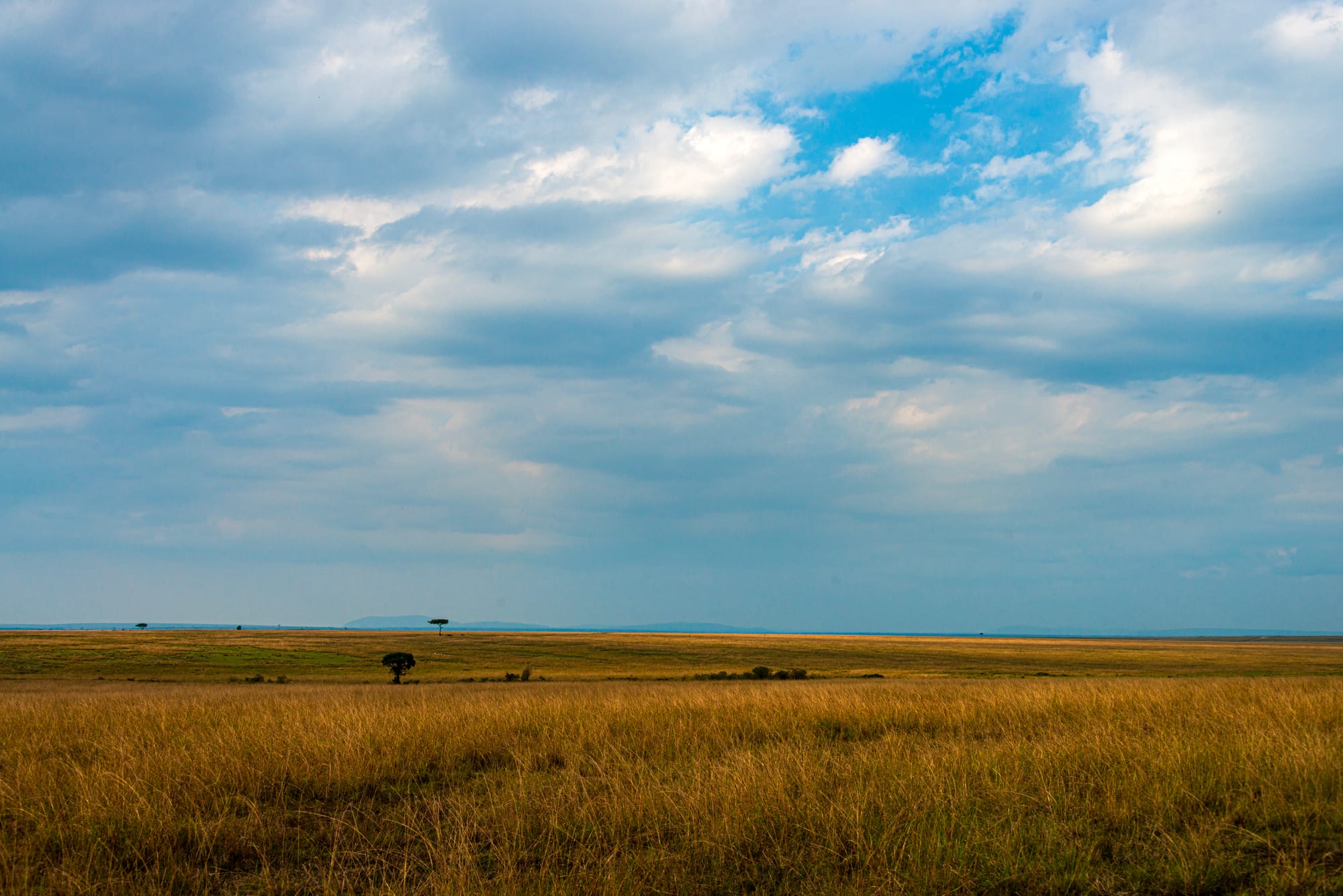
Golden grassland stretching to a flat horizon with a few scattered acacia trees under a cloudy blue sky

Kenya

The Maasai Mara & the Rift Valley

Open savannah in the Maasai Mara, in Narok County in the south-west of the Rift Valley. (Daniel Case / Wikimedia Commons · CC BY-SA 4.0)

Kenya's largest region, following the old Rift Valley Province from the Tanzanian border to the Ilemi Triangle — the Maasai Mara and Amboseli, the soda and freshwater lakes of the valley floor, the tea and wheat highlands of the Kalenjin running country, and the arid Turkana and Samburu north.

Explore The Maasai Mara & the Rift Valley

History

The Rift Valley holds some of humanity's deepest roots. Fossils from around Lake Turkana, including the near-complete skeleton of the Turkana Boy found on the western shore in 1984, and the stone hand-axes of Olorgesailie in Kajiado, record early humans over hundreds of thousands of years and more. In later centuries Nilotic herders — the Maasai in the south, the Kalenjin peoples in the western highlands, the Turkana, Pokot and Samburu in the north — spread across the valley and its grasslands.

The Uganda Railway crossed the valley in 1899–1901, and the Nandi fought it for years until their leader Koitalel Arap Samoei was killed in 1905. The Maasai were moved by treaties in 1904 and 1911 from the central Rift and Laikipia into a southern reserve, opening the land to settlers who laid out wheat, cattle and tea estates around Nakuru, Eldoret, Kericho and Nanyuki. In 1952–53 Jomo Kenyatta and five others were tried at Kapenguria in West Pokot, a trial remembered as a turning point in the independence struggle.

After independence the Rift became a heartland of Kalenjin politics under Daniel arap Moi and, later, William Ruto. Land disputes between long-settled and newer farming communities made it a centre of the 2007–08 post-election violence, including the burning of a church at Kiambaa near Eldoret and reprisal killings in Naivasha and Nakuru. In the north, the Ilemi Triangle is claimed by both Kenya and South Sudan and controlled in practice by Kenya, and oil was found in Turkana in 2012.

Culture & Customs

The region is home to several of Kenya's best-known pastoral peoples. Maasai families in Narok and Kajiado keep cattle at the centre of life; age-sets pass young men from boyhood through the moran warrior stage, and red cloth and bead collars are worn daily, not only for visitors. The Samburu, close relatives of the Maasai, and the Turkana and Pokot of the north keep camels, goats and cattle in harder country.

The Kalenjin — among them the Kipsigis, Nandi, Keiyo, Marakwet and Tugen — dominate the western highlands. Their initiation traditions and fermented milk remain strong, and they have produced a remarkable run of Olympic and marathon champions, from Kipchoge Keino to Eliud Kipchoge, both from Nandi. Iten in Elgeyo-Marakwet is a renowned training base, and thousands of athletes from Kenya and abroad train on its dirt roads at about 2,400 metres. Christianity is widespread, alongside older beliefs in the north, and cattle raids, bride wealth and grazing rights still shape relations between communities.

Daily Life

Nakuru and Eldoret are the region's cities, each with around half a million people; Naivasha, Kericho, Kitale, Nanyuki, Narok, Kitengela and Lodwar are important towns. Farming drives the economy: tea around Kericho and Nandi Hills, maize and wheat on the Uasin Gishu and Trans Nzoia plateaus and in Narok, dairy in the highlands, and the large horticulture farms along the shores of Lake Naivasha. The Olkaria plants near Hell's Gate produce much of Kenya's geothermal power.

Tourism is concentrated in the Mara, Amboseli, Naivasha and Laikipia's private conservancies, and many Maasai landowners now lease land to conservancies. The north lives with drought, poverty and the large Kakuma refugee settlement in Turkana, which hosts people from South Sudan, Somalia and elsewhere. Rising lake levels have flooded shoreline homes and farms around Lake Baringo and Lake Bogoria since about 2010.

Food

The Rift's pastoral peoples live on milk and meat. Mursik, the Kalenjin fermented milk, is stored in a gourd lined with charcoal from a particular tree, which gives it a smoky flavour; it is offered to returning athletes and at celebrations. Maasai diet has traditionally centred on milk, meat and, on special occasions, blood from cattle, while everyday meals now include ugali and tea. Kimnyet, the Kalenjin name for ugali, is eaten with cooked greens such as African nightshade, and with milk.

Nyama choma is taken seriously here, and Kajiado towns such as Kitengela are known for goat roasted over charcoal. Around Lake Naivasha and Lake Baringo, fried tilapia is sold at the roadside, and Turkana families rely on goat, camel milk and fish from the lake. Chai is made with the tea grown in Kericho and Nandi, and wheat from the plateaus supplies Kenya's bread and chapati.

Attractions & Natural Wonders

In the south, the Maasai Mara National Reserve and its neighbouring conservancies hold lions, leopards, cheetahs, elephants and, from about July to October, the wildebeest migration across the Mara River. Amboseli National Park, in Kajiado, spreads swamps and dusty plains beneath Kilimanjaro, whose peak stands just over the border in Tanzania; Lake Magadi and the prehistoric site of Olorgesailie lie in the same county.

The valley lakes are the next chain. Lake Naivasha, a freshwater lake, has hippos, Crescent Island's walking safaris and, beside it, Hell's Gate National Park, a gorge of red cliffs and steam vents explored on foot or by bike, with Mount Longonot's crater rim nearby. Lake Nakuru National Park holds flamingos and rhino, and with Lake Elmenteita and Lake Bogoria, known for its geysers and hot springs, it forms the UNESCO-listed Kenya Lake System; freshwater Lake Baringo lies just to the north.

West of the valley, Eldoret and the running town of Iten look down into the Kerio Valley, and Kericho's tea estates spread across green hills. Laikipia's plateau holds Ol Pejeta Conservancy, home of the last two northern white rhinos, and the equator town of Nanyuki. In the far north, the Samburu National Reserve borders the Ewaso Ng'iro River, and Lodwar is the gateway to the western shore of Lake Turkana.

Cities in The Maasai Mara & the Rift Valley

Planning basics

Budget

The Rift Valley holds both Kenya's most expensive and some of its cheapest travel. Maasai Mara and Amboseli park fees, charged in US dollars, and lodge or conservancy stays make safari days costly, while Nakuru, Naivasha, Eldoret and Kericho have cheap guesthouses and cafés. Remote Turkana and Samburu require costly 4x4 or charter travel.

Daily Budget Midrange
USD 120–270 in the towns and lakes; safari lodges and conservancies add much more per day
Daily Budget Shoestring
USD 30–60 in the towns (guesthouse, local food, matatus); park days cost far more

Compare Mara camps inside the reserve with those in the neighbouring conservancies, and book Naivasha and Nakuru outside Kenyan holiday weekends.

Safety

The main safari areas, lakes and highland towns are generally safe with an operator. The northern counties are different: cattle raiding and banditry affect parts of Turkana, West Pokot, Baringo, Elgeyo-Marakwet and Samburu, and security operations have been declared in some areas. The Ilemi Triangle and the borders with South Sudan and Ethiopia are remote and unsettled. Election periods have brought violence in the past.

Travel in the north with a reputable operator who knows local conditions, keep a respectful distance from wildlife, and avoid gatherings at election time. Check current official travel advice before travelling.

Climate

Altitude creates extremes. The western highlands around Kericho, Nandi and Eldoret are cool and wet, with rain on most afternoons and chilly nights. The valley floor around Naivasha, Nakuru and Baringo is warmer and drier, the Mara is mild, and Turkana and much of Samburu are semi-desert, among the hottest places in Kenya.

Summer
January–March is warm and dry, 25–30°C in the Mara and on the lakes, often over 35°C in Turkana
Winter
June–August is cooler, with nights near 10°C in the highlands and on the Mara plains

Transportation

Nakuru, Naivasha and Eldoret lie along the main highway west from Nairobi, with Eldoret also served by flights. The Mara is a long drive from Nairobi, the last stretch rough, and most visitors fly from Wilson Airport to reserve airstrips. Amboseli is also a long road journey from Nairobi. Turkana and Samburu are long, hot drives or charter flights.

Fly to the Mara if time is short, and travel in daylight on the valley roads, which carry heavy lorry traffic.

Best Time to Visit

June to October is the prime season, with dry weather and the wildebeest migration in the Mara from roughly July; January and February are also good. Amboseli's views of Kilimanjaro are clearest early in the morning. The long rains of March to May bring mud and fewer visitors, and the running camps around Iten are busiest between race seasons.